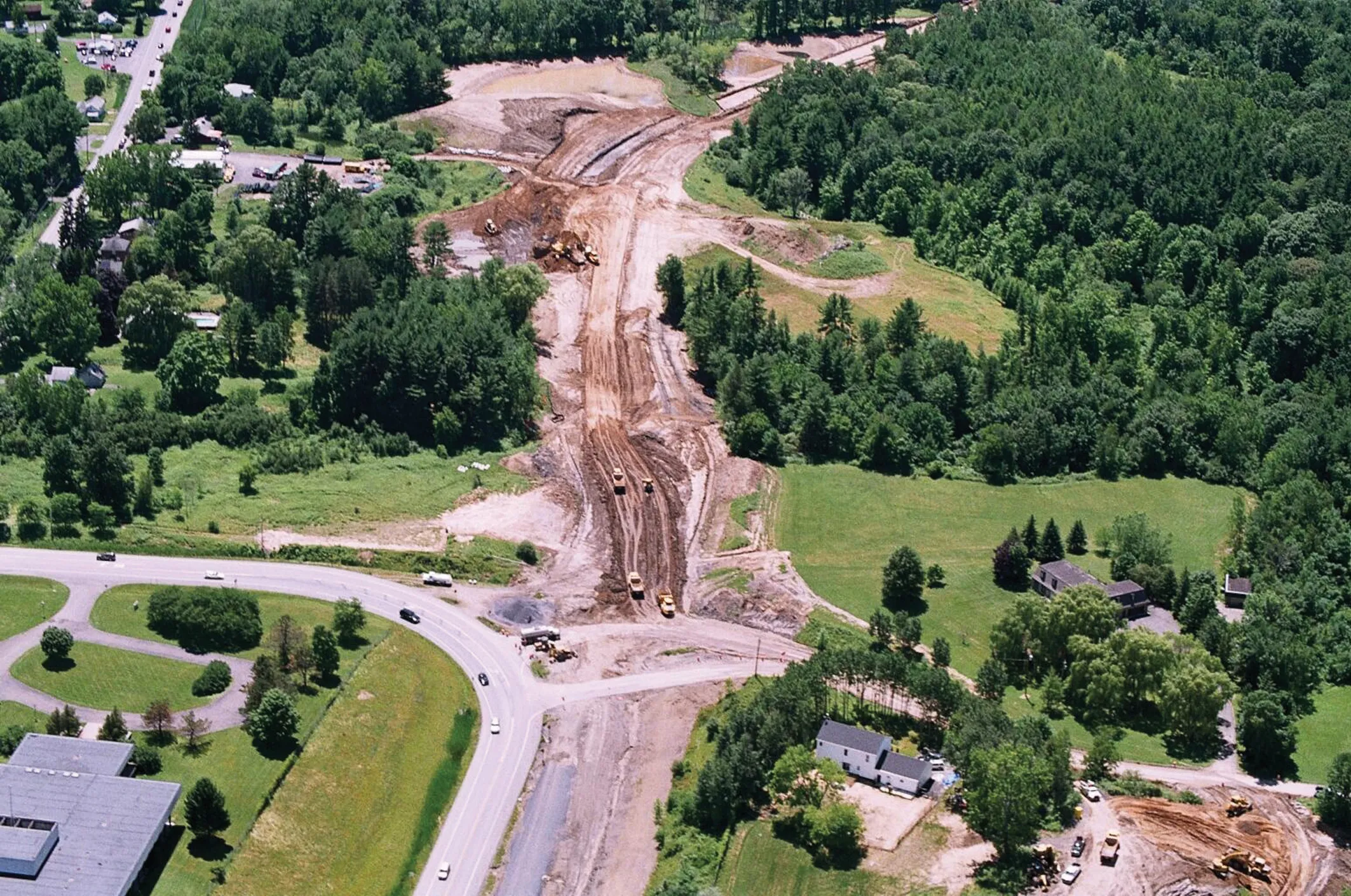
All 15 US states using Bentley’s AssetWise InspectTech software achieved reporting compliance with annual Federal Highway Administration’s MAP-21 National Bridge Inventory and National Bridge Element schemes. Taylor Gilmore, product manager for AssetWise InspectTech, said the software was used to inspect over 175,000 bridges for their clients’ 2016 Federal Highway NBI and NBE data reports.
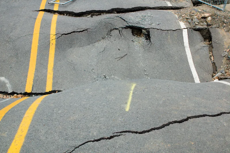
Faced with ageing bridge infrastructure nationwide, FHWA’s MAP-21 performance-based programme is designed to maximis

All 15 US states using 6197 Bentley’s AssetWise InspectTech software achieved reporting compliance with annual Federal Highway Administration’s MAP-21 National Bridge Inventory and National Bridge Element schemes. Taylor Gilmore, product manager for AssetWise InspectTech, said the software was used to inspect over 175,000 bridges for their clients’ 2016 Federal Highway NBI and NBE data reports.
Faced with ageing bridge infrastructure nationwide, FHWA’s MAP-21 performance-based programme is designed to maximise return on investment in transportation infrastructure. AssetWise InspectTech delivers inspection data as required by MAP-21 and the bridge element (NBI) schemes which then must be sent by a set date to the FHWA which then compiles a national inventory.
The state of Nevada again submitted data on time, said Michael Premo, the department of transportation’s bridge inspection team. “The ability of AssetWise InspectTech to support our Nevada-specific inspection needs and meet the MAP-21 and NBI deadlines is a testament to its flexibility,” he said. “It allows our inspectors to accurately and efficiently collect, manage and submit all required data including mobile data from the field in the required format.”
AssetWise InspectTech provides performance metric reports and dashboards based on industry best practices for NBI and NBE submission, performs error checks and automated sufficiency rating calculations that prevent errors during the data collection process, and, through timely reporting. Bentley said that its extensive configuration tools allow state agencies to tailor the application to meet their respective needs while still supporting all required federal reports.