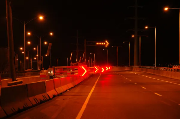
A new delineator design is said to be helping to reduce accidents on a 200mile stretch of one of the world’s most treacherous highways. Pexco LLC has produced the ‘Dalton Delineator’ for the Dalton Highway, a remote 414mile road in Alaska, reported to be the sixth most dangerous roadway in the world. The road safety system has a cantilever structure consisting of a short length of a Davidson Flexi-Guide FG 400 Roadside Delineator post mounted to a special flexible coupler.
A new delineator design is said to be helping to reduce accidents on a 200mile stretch of one of the world’s most treacherous highways. 301 Pexco LLC has produced the ‘Dalton Delineator’ for the Dalton Highway, a remote 414mile road in Alaska, reported to be the sixth most dangerous roadway in the world.
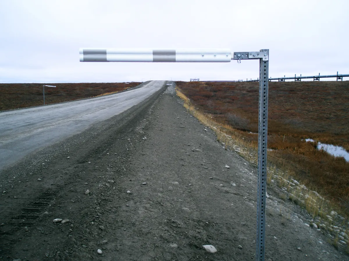
The road safety system has a cantilever structure consisting of a short length of a Davidson Flexi-Guide FG 400 Roadside Delineator post mounted to a special flexible coupler. The polyurethane-made coupler is attached to a square steel tube support by the roadside. The delineator post, also known as an arm, projects horizontally out from the shoulder, above the roadway. The use of white delineator arms on one side of the road and green delineator arms on the opposite side, likened by Pexco LLC to the running lights on a boat, is said to give motorists and highways maintenance workers clear indication of their position on the road, even in the midst of a blinding snowstorm.
Half of all vehicle crashes on the Dalton Highway occur during daylight hours, while a quarter take place at night when drivers are travelling on non-lighted sections of the road.
The installation of the Dalton Delineator, which began in summer 2011, comes after Alaska DOT asked Pexco LLC in early 2009 to come up with new ideas to build on the success of its existing Dalton Highway FG 400 Roadside Delineator post.