
High performance from Topcon’s HiPer XR

April 11, 2025 Read time: 1 min
The lightweight HiPer XR, from Topcon Positioning Systems, Dynamic TILT Compensation technology for effortless measurements, even in difficult conditions

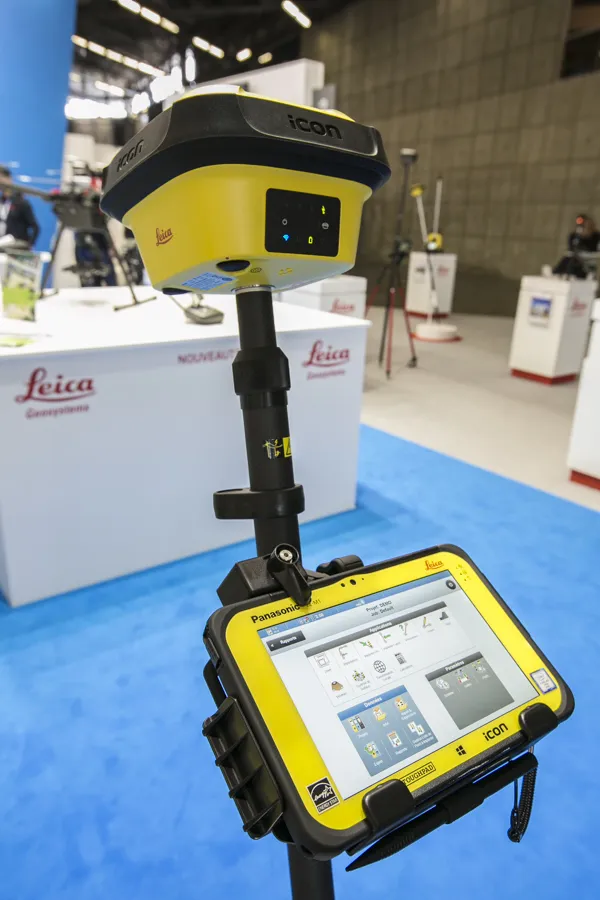
The HiPer XR, from Topcon Positioning Systems, is a robust high-precision GNSS receiver for surveying, construction and geospatial work. It delivers precision and efficiency, tackling all challenges with RTK accuracy and Dynamic TILT Compensation technology for effortless measurements, even in difficult conditions.

Its anti-jamming capabilities ensure reliable performance, while the lightweight, rugged design withstands harsh environments. The HiPer XR is about versatile connectivity with long battery life at an affordable price.

Its multi-constellation support delivers improved accuracy by tracking multiple satellite systems simultaneously, ensuring reliable data even in challenging conditions. With fast charging that reaches 50% in just 30 minutes, downtime is minimised.

TILT technology enables accurate pole-tip measurements without the need for calibration and is also resistant to magnetic interference. Its advanced anti-jamming capabilities ensure reliable signal performance, even in demanding environments.  

Designed to be both durable and lightweight – just under 1kg - it can endure tough conditions while remaining easy to handle.

With support for multiple constellations, flexible connectivity options, and a cost-effective design, the HiPer XR is a practical and adaptable solution for modern surveying needs. 

For more information on companies in this article

Related Content

  • Trimble’s new SitePulse System empowers field managers
    June 9, 2015
    Trimble has launched what it claims is an affordable and easy-to-use site positioning System for superintendents, foremen and field engineers on heavy civil construction sites. Instead of using paper plans, the Trimble SitePulse System empowers field managers with the same 3D constructible model and digital information that is used by construction surveyors, grade checkers and machine operators. Trimble SitePulse field software is ideal for construction managers who do not have a surveying background. The
  • It’s a level playing field with Leica’s iCON gps 70 Series
    April 27, 2018
    Efficiency is the name of the game from the iCON gps 70 Series, a GNSS rover from Leica Geosystems. With the iCON gps 70 T you can measure and stakeout points faster and without the need to keep the pole vertical and level the bubble. The combination of the latest GNSS technology and inertial measurement unit (IMU) equips the iCON gps 70 T with permanent tilt compensation and makes it resistant to any magnetic interference. Because the iCON gps 70 T is calibration-free, it can be ready instantly and any
  • Machine control innovations
    February 15, 2012
    THE RECENT CONEXPO-CON/AGG exhibition has seen the launch of a wealth of new machine control technologies - Mike Woof reports A fast pace of technological development in the machine control sector is seeing new innovations come to market at regular intervals. The developments remain focussed on the three main technology suppliers to this market, Leica Geosystems, Topcon and Trimble, offereng a combination of systems using machine control based on GPS, total station, sonic units and industrial inertial gu
  • Rapid adoption of GPS machine control
    February 10, 2012
    The high sophistication of GPS machine control systems has resulted in a fast pace of technological advancement. The three major players in the machine control sector, Leica Geosystems, Topcon and Trimble have all made major gains in recent years. The sophistication of the latest systems can combine satellite position data from the GPS and GLONASS networks with information from total stations to provide precise, high speed machine operation. Further more the firms have also prepared themselves for the intro