High performance from Topcon’s HiPer XR

April 11, 2025 Read time: 1 min
The lightweight HiPer XR, from Topcon Positioning Systems, Dynamic TILT Compensation technology for effortless measurements, even in difficult conditions

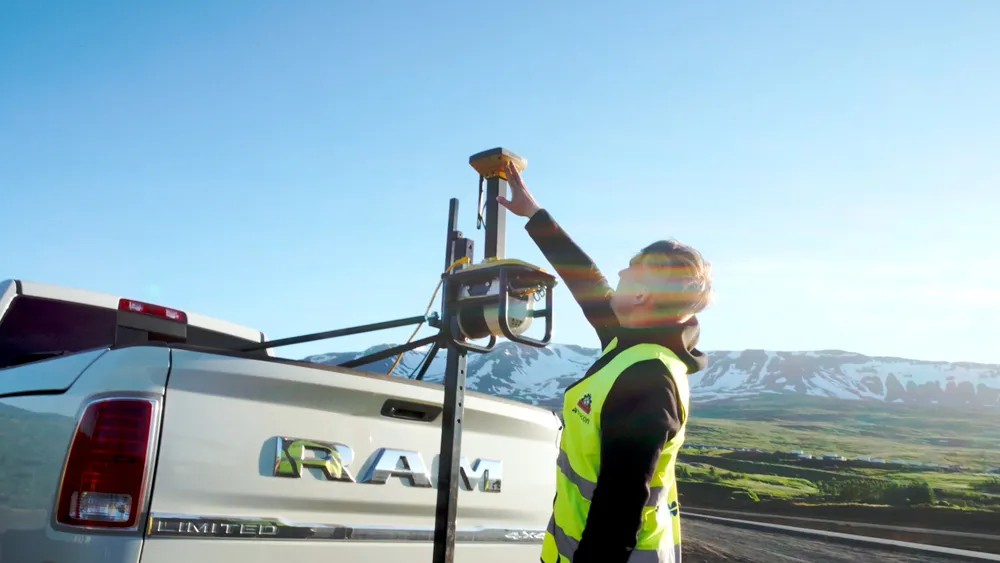
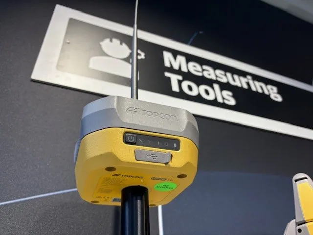
The HiPer XR, from Topcon Positioning Systems, is a robust high-precision GNSS receiver for surveying, construction and geospatial work. It delivers precision and efficiency, tackling all challenges with RTK accuracy and Dynamic TILT Compensation technology for effortless measurements, even in difficult conditions.

Its anti-jamming capabilities ensure reliable performance, while the lightweight, rugged design withstands harsh environments. The HiPer XR is about versatile connectivity with long battery life at an affordable price.

Its multi-constellation support delivers improved accuracy by tracking multiple satellite systems simultaneously, ensuring reliable data even in challenging conditions. With fast charging that reaches 50% in just 30 minutes, downtime is minimised.

TILT technology enables accurate pole-tip measurements without the need for calibration and is also resistant to magnetic interference. Its advanced anti-jamming capabilities ensure reliable signal performance, even in demanding environments.  

Designed to be both durable and lightweight – just under 1kg - it can endure tough conditions while remaining easy to handle.

With support for multiple constellations, flexible connectivity options, and a cost-effective design, the HiPer XR is a practical and adaptable solution for modern surveying needs. 

For more information on companies in this article

Related Content

  • Leica Geosystems' smart GNSS antenna
    August 25, 2016
    Leica Geosystems is now offering a smart, versatile antenna for use in GNSS monitoring applications. The firm says that this high-quality device is customisable to fit a wide array of project requirements. The unit is sophisticated, while offering reliability and ease-of-use and combines both GNSS antenna and receiver. The new smart antenna can be used for monitoring installations in static, long-term projects. The unit can also enable dynamic monitoring with up to 10Hz data streaming and multi-freque
  • Texo flying high in the UK with a Topcon Falcon 8+ UAV
    July 3, 2018
    Texo Drone Survey and Inspection says that it is the first company in the UK to fly the Falcon 8+ UAV system from Topcon. The multicamera payload Topcon Falcon 8+ is the third-generation edition of the Falcon Drone system that was introduced in 2009 for aerial imaging, monitoring and mapping. The Topcon Falcon 8+ needs minimal pilot corrections while its GCS includes built-in automated flight functions. There is also advanced flight planning thanks to the Intel Cockpit Controller.
  • Wider range of survey software functionality
    February 9, 2012
    Leica Geosystems is offering a broad spread of new packages and hardware that will deliver improved performance to users. The firmware 2.0 product is said to add powerful new capabilities to the Leica ScanStation C10, the industry's most popular 3D laser scanner for as-built and topographic surveys. This further increases the productivity and versatility of the fully integrated, cable-less ScanStation C10. A new Setup facility lets users take advantage of known survey points and backsighting, while remote,
  • Technology from Topcon plays key role in resurfacing race track
    May 13, 2021
    Located in northern Iceland, Akureyri is the fourth largest town in the country, with a modest population of 19,000. The town is home to one of Iceland’s oldest car racing clubs, the Akureyri Car Club, which runs regular drag racing events. However, its popularity resulted in heavy wear and tear, which meant the quarter-of-a-mile drag race strip was in urgent need of an upgrade.