High performance from Topcon’s HiPer XR

April 11, 2025 Read time: 1 min
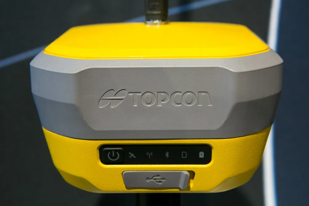
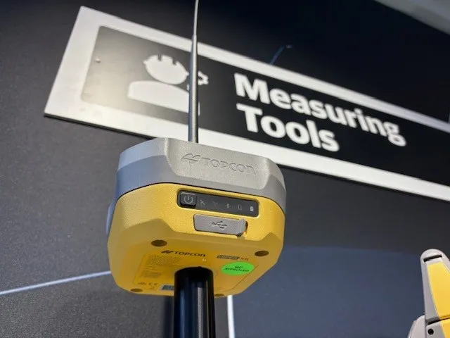
The lightweight HiPer XR, from Topcon Positioning Systems, Dynamic TILT Compensation technology for effortless measurements, even in difficult conditions

The HiPer XR, from Topcon Positioning Systems, is a robust high-precision GNSS receiver for surveying, construction and geospatial work. It delivers precision and efficiency, tackling all challenges with RTK accuracy and Dynamic TILT Compensation technology for effortless measurements, even in difficult conditions.

Its anti-jamming capabilities ensure reliable performance, while the lightweight, rugged design withstands harsh environments. The HiPer XR is about versatile connectivity with long battery life at an affordable price.

Its multi-constellation support delivers improved accuracy by tracking multiple satellite systems simultaneously, ensuring reliable data even in challenging conditions. With fast charging that reaches 50% in just 30 minutes, downtime is minimised.

TILT technology enables accurate pole-tip measurements without the need for calibration and is also resistant to magnetic interference. Its advanced anti-jamming capabilities ensure reliable signal performance, even in demanding environments.  

Designed to be both durable and lightweight – just under 1kg - it can endure tough conditions while remaining easy to handle.

With support for multiple constellations, flexible connectivity options, and a cost-effective design, the HiPer XR is a practical and adaptable solution for modern surveying needs. 

For more information on companies in this article

Related Content

  • Latest GIS and software tools improve operations
    February 24, 2012
    Innovative GIS and software solutions are coming to market from the three key market players - Mike Woof reports Competition is strong in the field for GIS and surveying systems as well as the associated software. The three major players in the sector, Leica Geosystems, Topcon and Trimble, all invest heavily in research and development and continue to roll out new solutions for construction customers that will boost the efficiency of surveying as well as overall project implementation.
  • Topcon has developed new satellite tracking systems
    January 6, 2017
    Topcon Europe Positioning says that its new HiPer V system features the firm’s patented Vanguard technology. This offers customers the choice of GPS and GLONASS signals, as well as Galileo when operationally available. It also includes a variety of choices of internal radio, cellular and Bluetooth communication options, as well as a sophisticated power supply. An important feature of the HiPer V is the Vanguard ASIC chip. The company claims that the architecture behind this new chipset leads the market, and
  • Topcon has developed new satellite tracking systems
    February 8, 2013
    Topcon Europe Positioning says that its new HiPer V system features the firm’s patented Vanguard technology. This offers customers the choice of GPS and GLONASS signals, as well as Galileo when operationally available. It also includes a variety of choices of internal radio, cellular and Bluetooth communication options, as well as a sophisticated power supply. An important feature of the HiPer V is the Vanguard ASIC chip. The company claims that the architecture behind this new chipset leads the market, and
  • Advanced GNSS capabilities with Topcon
    April 9, 2025

    Topcon Positioning says that its new HiPer XR offers more capabilities for GNSS duties. The HiPer receivers suit duties in survey applications, including engineering design, and cadastral projects. These versatile tools can also be used for construction site layout/stakeout, grade checking, and material volume calculations. HiPer receivers can also be paired with robotic total stations for Hybrid Positioning