Hawkeye 1000 DUO Released

ARRB Group has introduced the latest addition to the Hawkeye 1000 series, the Hawkeye 1000 DUO. The Hawkeye 1000 portable range was previously limited to a standalone laser profiler and a separate video imaging system. With recent advancements in computer hardware and an intense in-house development programme, ARRB Systems is now releasing the Hawkeye 1000 DUO which successfully combines the benefits of the two systems. Consisting of a single or dual laser profiler and a single dashboard-mounted video camer
February 9, 2012 Read time: 1 min
159 ARRB Group has introduced the latest addition to the Hawkeye 1000 series, the Hawkeye 1000 DUO.

The Hawkeye 1000 portable range was previously limited to a standalone laser profiler and a separate video imaging system. With recent advancements in computer hardware and an intense in-house development programme, ARRB Systems is now releasing the Hawkeye 1000 DUO which successfully combines the benefits of the two systems.

Consisting of a single or dual laser profiler and a single dashboard-mounted video camera, the Hawkeye 1000 DUO is capable of collecting longitudinal profile, roughness and macro-texture and providing fully linked video images, at highway speeds.

It can be used in rural and urban locations, and can offer positioning and measurement of road and asset inventory; verify site conditions (by visual methods in post-processing) when large variations in data are detected by the profiler; quality assessments and road safety engineering assessments.

For more information on companies in this article

Related Content

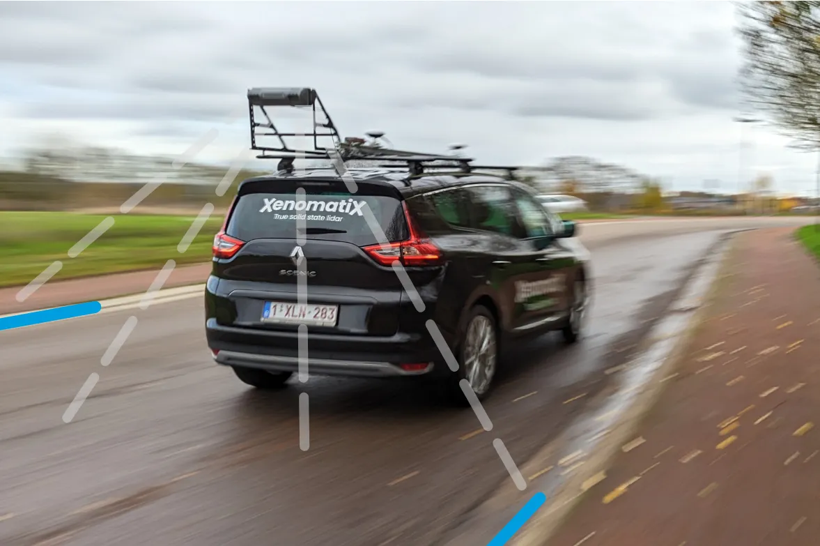
  • XenomatiX launches XenoTrack Dual Lane
    March 6, 2023
    XenoTrack Dual Lane surveys two neighbouring lanes in a single pass while the survey vehicle drives in one lane.
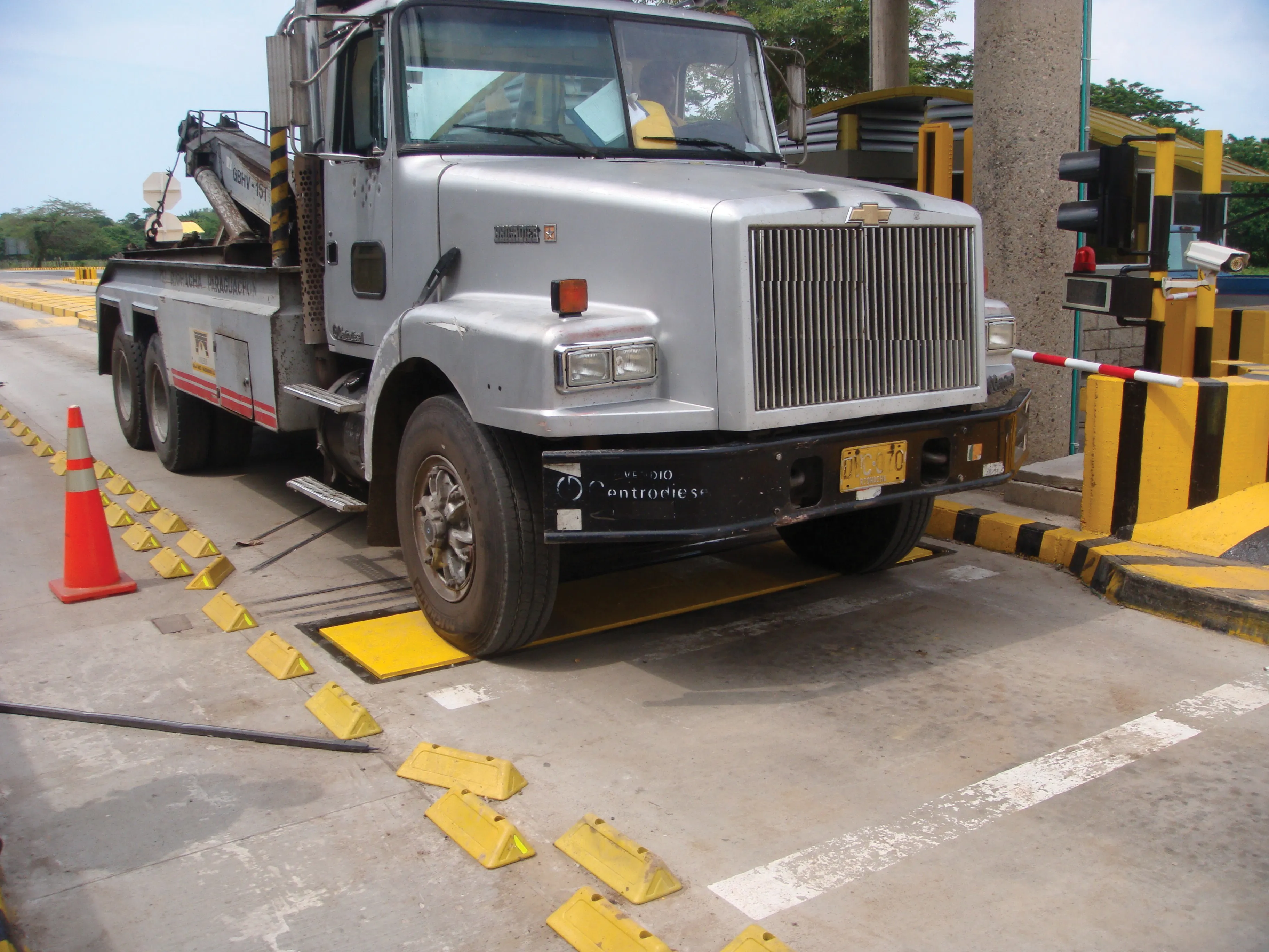
  • Weigh in motion technology reduces road damage
    February 8, 2012
    Overweight vehicles cause enormous damage to road structures but they can be caught, even at high speed. Weigh-in-motion or WIM devices are designed to capture and record axle weights and gross vehicle weights as vehicles drive over a measurement site.
  • LiDAR surveying is making inroads into asset management
    December 18, 2017
    In the coming age of the autonomous vehicle, fast and accurate LiDAR surveying will be increasingly important, explains Valdis Vanags. The game-changing introduction of autonomous vehicles relies not only on intelligent traffic systems but well maintained roads to help computer-guided systems navigate using road markings. Laser scanning technology, too, is a game changer when it comes to planning and executing many civil engineering projects, including transport network upgrades and smart city initiatives.
  • Laser monitoring of road surfaces
    February 28, 2012
    Klaruw says that its advanced laser scanner system can accurately evaluate the macro-texture of road pavement surfaces. This sophisticated system allows highway agencies to monitor road surface condition more accurately and assess whether the skid resistance meets safety requirements. The innovative Laser Texture Tester (LTT) device uses uses a rotating, high resolution laser to scan circular sections of road pavement.