Hawkeye 1000 DUO Released

ARRB Group has introduced the latest addition to the Hawkeye 1000 series, the Hawkeye 1000 DUO. The Hawkeye 1000 portable range was previously limited to a standalone laser profiler and a separate video imaging system. With recent advancements in computer hardware and an intense in-house development programme, ARRB Systems is now releasing the Hawkeye 1000 DUO which successfully combines the benefits of the two systems. Consisting of a single or dual laser profiler and a single dashboard-mounted video camer
February 9, 2012 Read time: 1 min
159 ARRB Group has introduced the latest addition to the Hawkeye 1000 series, the Hawkeye 1000 DUO.

The Hawkeye 1000 portable range was previously limited to a standalone laser profiler and a separate video imaging system. With recent advancements in computer hardware and an intense in-house development programme, ARRB Systems is now releasing the Hawkeye 1000 DUO which successfully combines the benefits of the two systems.

Consisting of a single or dual laser profiler and a single dashboard-mounted video camera, the Hawkeye 1000 DUO is capable of collecting longitudinal profile, roughness and macro-texture and providing fully linked video images, at highway speeds.

It can be used in rural and urban locations, and can offer positioning and measurement of road and asset inventory; verify site conditions (by visual methods in post-processing) when large variations in data are detected by the profiler; quality assessments and road safety engineering assessments.

For more information on companies in this article

Related Content

  • More accurate mapping
    July 31, 2024

    Trimble and Radiodetection have established a collaboration to improve the technology used in the utility measurement and mapping process. Through the integration of the Trimble Catalyst DA2 GNSS system and Radiodetection’s RD MapTM+ application and precision locator products, the software and hardware integration streamlines utility-locating workflows. This can provide high-accuracy measurement capabilities for the generation of underground utilities maps in a single field operation. 

  • ScanStation C10: sophisticated
    March 1, 2012
    High-speed, versatile laser scanning can now be achieved using the latest technology from Leica Geosystems. The firm's sophisticated ScanStation C10 package features a new high-definition surveying (HDS) scanner that is said to increase surveying productivity and accuracy for both routine surveys and large, complex projects.
  • Smart excavators coming to market
    March 23, 2021
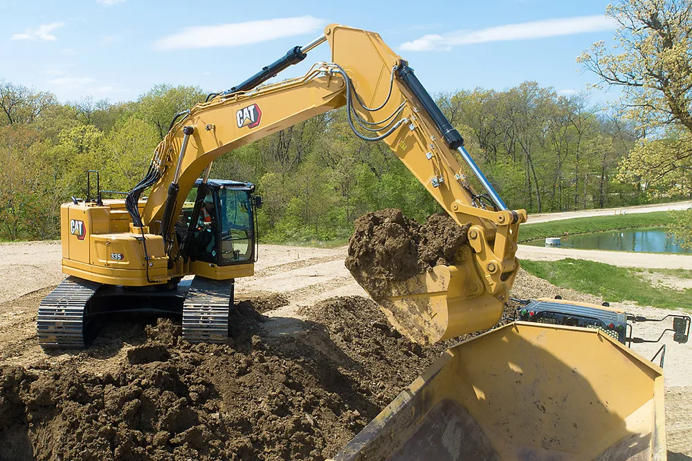
    New excavators coming to market offer a combination of increased performance and smart technology
  • Komatsu Europe celebrates 1,000 Hybrid Excavators
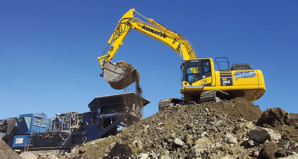
    November 12, 2020
    Produced in the UK for the European market, the Komatsu “Hybrid” range has gone from strength to strength, with the 1,000th unit produced in the summer of 2020 at the Komatsu UK factory near Newcastle.