Handheld imaging from Leica Geosystems

Leica Geosystems is offering an updated imaging tool in the shape of its latest BLK3D model.
May 21, 2021 Read time: 1 min

The firm says that its new handheld imager now offers twice the operating range of the previous variant. In-picture measurement accuracy has also been improved for indoor and outdoor applications.

Users benefit from new guidance and accuracy indication features that allow them to optimise the capturing process to achieve high measurement accuracy. This is achieved by significantly enhancing BLK3D image processing algorithms alongside workflow adaptation which allows for capturing multi-shots with up to four shots. The BLK3D Update is rolled out with the new BLK3D Mobile and Desktop software version 3.0. BLK3D with Publisher license enables collaboration amongst teams, providing accessibility to 3D images using the cloud. Measurements can be created and shared on mobile devices such as smartphones and tablets across project teams.

The firm says that it designed BLK3D mobile and desktop 3.0 for users starting their journey into digitalisation and digital experts that have already been working in the area for some time. The unit provides increased accuracy, longer range and added functionality, allowing users to make their work more efficient, effective and productive according to the company.

For more information on companies in this article

Related Content

  • Software innovations
    June 22, 2012
    New developments in the software sector will improve construction efficiency. Standards organisation BSI is working with government, industry bodies, and private construction practices to create best practice standards for implementing Building Information Modelling (BIM). In 2011 the UK Government announced that all suppliers that wish to bid for public sector construction contracts must use BIM tools and techniques from 2016, making its implementation commercially critical for companies that wish to apply
  • Precision narrows the gap between design software and GIS
    March 20, 2012
    Greater precision is helping blur the boundaries between GIS technology and design software While GIS map based technology has extended its range across an ever more universal spectrum of uses in the highways sector, it is increasingly showing weaknesses for engineering purposes. It is very often not accurate enough. This has not mattered previously because the GIS tool has been seen essentially as an automated version of paper based systems from the design department's point of view. Where engineers
  • Intermat innovation for machine control systems
    June 23, 2015
    Improving technologies for machine control systems continue to deliver increases in efficiency for contractors - Mike Woof writes Machine control technologies have continued to develop as the specialist suppliers in this fiercely fought sector seek to find a competitive advantage over their rivals. The key players, Leica Geosystems, MOBA, Topcon and Trimble, have all been pushing the boundaries with their latest technologies. Although the systems these firms are introducing are aimed at a number of differen
  • Soil compaction innovations being introduced
    June 19, 2017
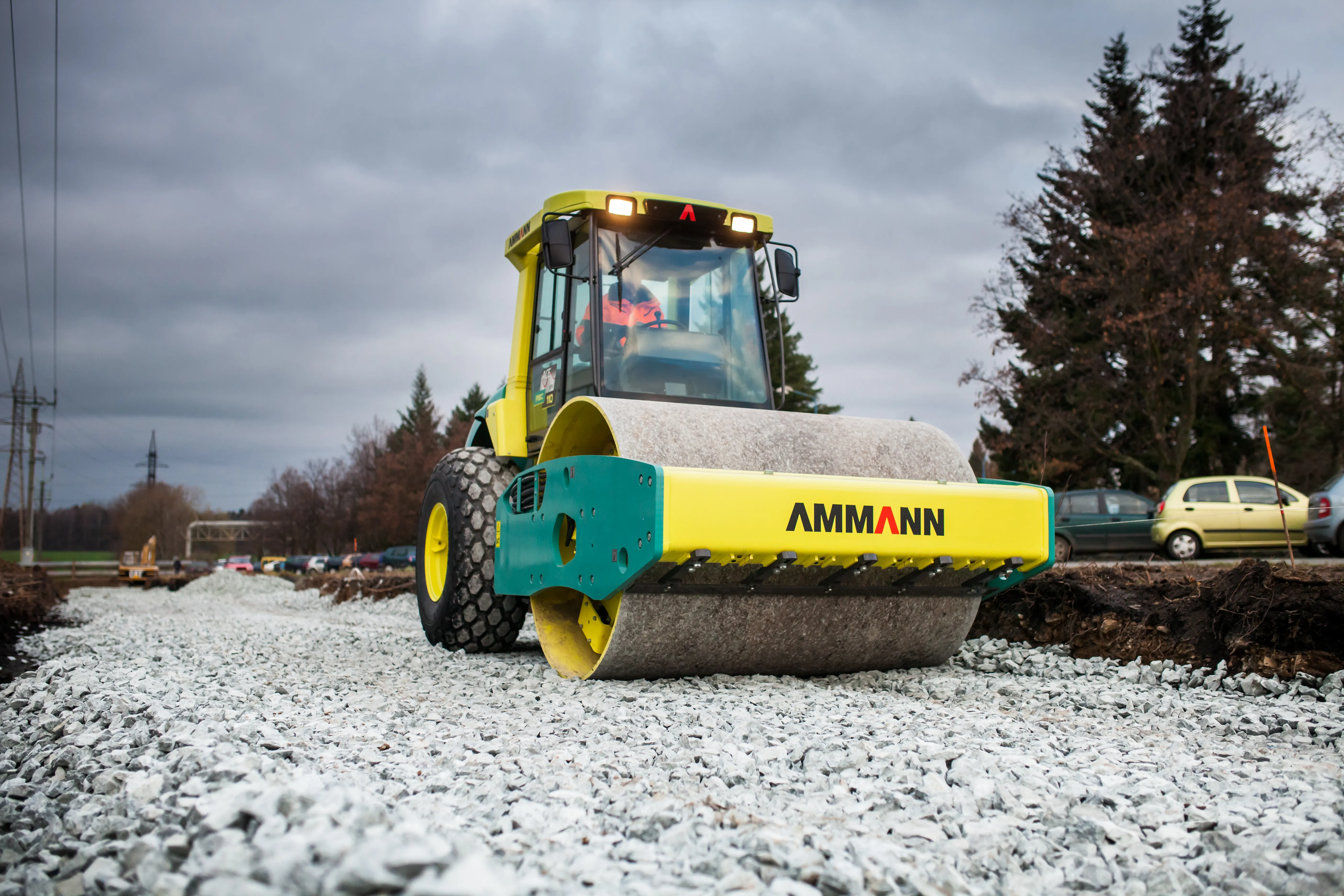
    Major developments in soil compaction are being introduced - Mike Woof writes. With manufacturers keen to meet new regulations and deliver greater performance to customers, an array of new soil compactors are now coming to market. One of the new developments from the Ammann Group is the unveiling of its ASC 110 Tier 3 soil compactor, which is powered by a Cummins QSG 4.5 diesel rated at 119kW and has a 2.13m-wide drum. This machine is designed to meet the needs of emergent markets where high quality fuels w