Get highly detailed 3D point road surface data from Topcon’s new RD-M2 scanner

April 11, 2025 Read time: 1 min
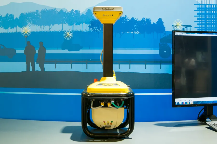
The vehicle-mounted downward-facing RD-M2 from Topcon Positioning Systems delivers precise surface conditions over long and complex roads

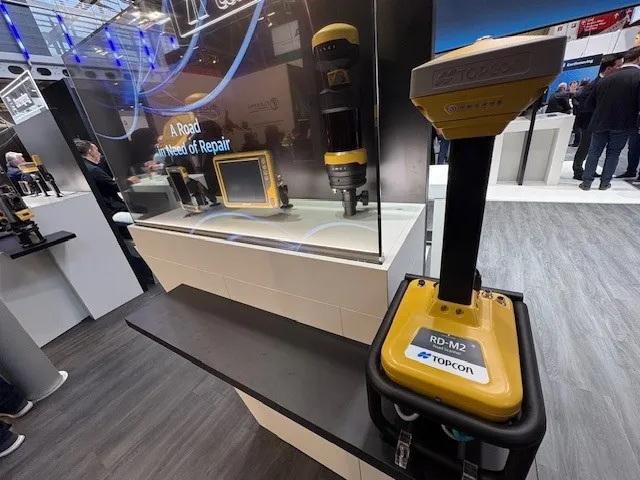
Topcon Positioning System’s new RD-M2 laser scanner has been purpose-built for road resurfacing applications.

The vehicle-mounted downward-facing RD-M2 delivers precise surface conditions over long and complex roads, which means no road closures are needed.  

Millions of points are collected by the vehicle operator from safety of his or her cab.

The 3D point data from the RD-M2 scanner serves as the basis for detailed road surface designs using the Topcon Office Suite.  

These ground-truth surfaces are a part of the company’s SmoothRide system workflow.

Users can take advantage of Topcon’s intuitive workflow to create their own custom design from the scan or they can integrate a predefined template.  

Users can also align the scan to the local coordinate system with millimetre-level precision, providing complete flexibility for road resurfacing projects.  

For more information on companies in this article

Related Content

  • The Road Ahead
    August 5, 2020
    According to recent figures, there are over 560,000 potholes that pose a risk of damage to vehicles in the UK alone, and the situation is similar in countries across the globe.
  • Data handling for efficient machine control
    October 16, 2012
    The rapid increase in information availability is transforming the construction sector. Conventional methods used for sourcing geographic data based on maps and localised sampling meant that there was often a lack of accurate information relating to ground conditions at specific areas where work was planned, often resulting in unwelcome surprises for construction companies along with additional costs for projects.
  • Topcon’s efficient Smoothride package offers high quality road resurfacing
    April 27, 2018
    The latest Smoothride system for road resurfacing from Topcon Positioning offers improved quality and efficiency for road construction. Ulrich Hermanski, vice president of Construction Business EMEA at the firm, said: “What we have in road construction, no-one else has.” The system combines sonic controls and GPS, providing high accuracy. The complete package includes road scanning technology that can be used to track road conditions and determine slope, gradient and wear. Hermanski said: “The thing that i
  • Software advances from around the globe
    April 24, 2013
    A quick look at various software development in highways – Adrian Greeman. Software for BIM processes, internet cloud based computing to link site and office, and the use of laser scan point-cloud data continue to be the central themes for major software suppliers in the road design area. Developments go hand in hand with the recent strategic agreements that firms like Autodesk and Bentley Systems have made with major survey companies, Topcon and Trimble respectively. The tie-ups, along with acquisitions, m