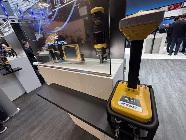
Get highly detailed 3D point road surface data from Topcon’s new RD-M2 scanner

April 11, 2025 Read time: 1 min
The vehicle-mounted downward-facing RD-M2 from Topcon Positioning Systems delivers precise surface conditions over long and complex roads

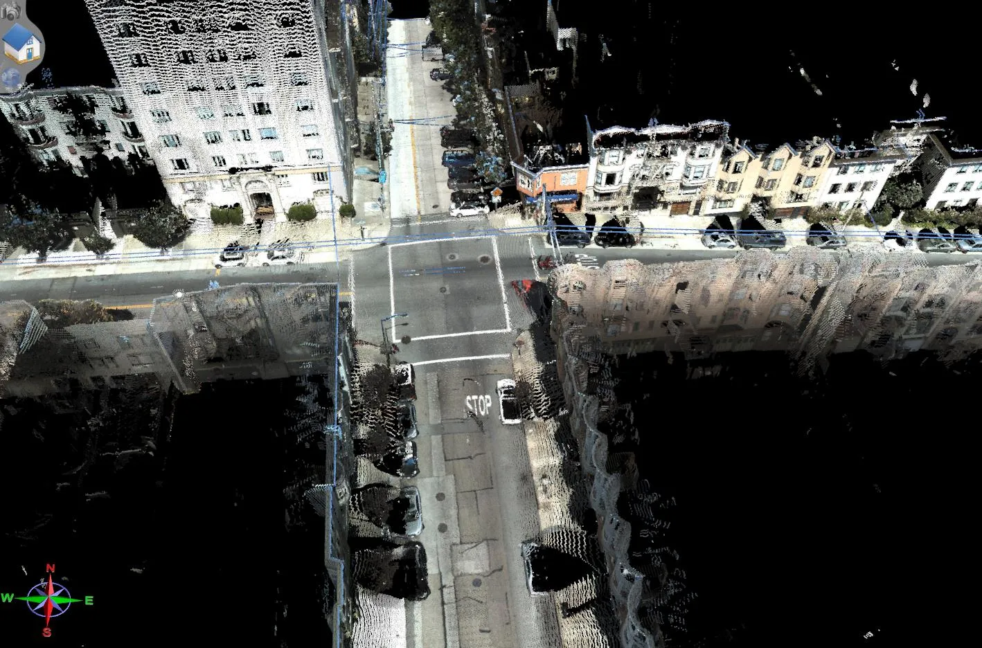
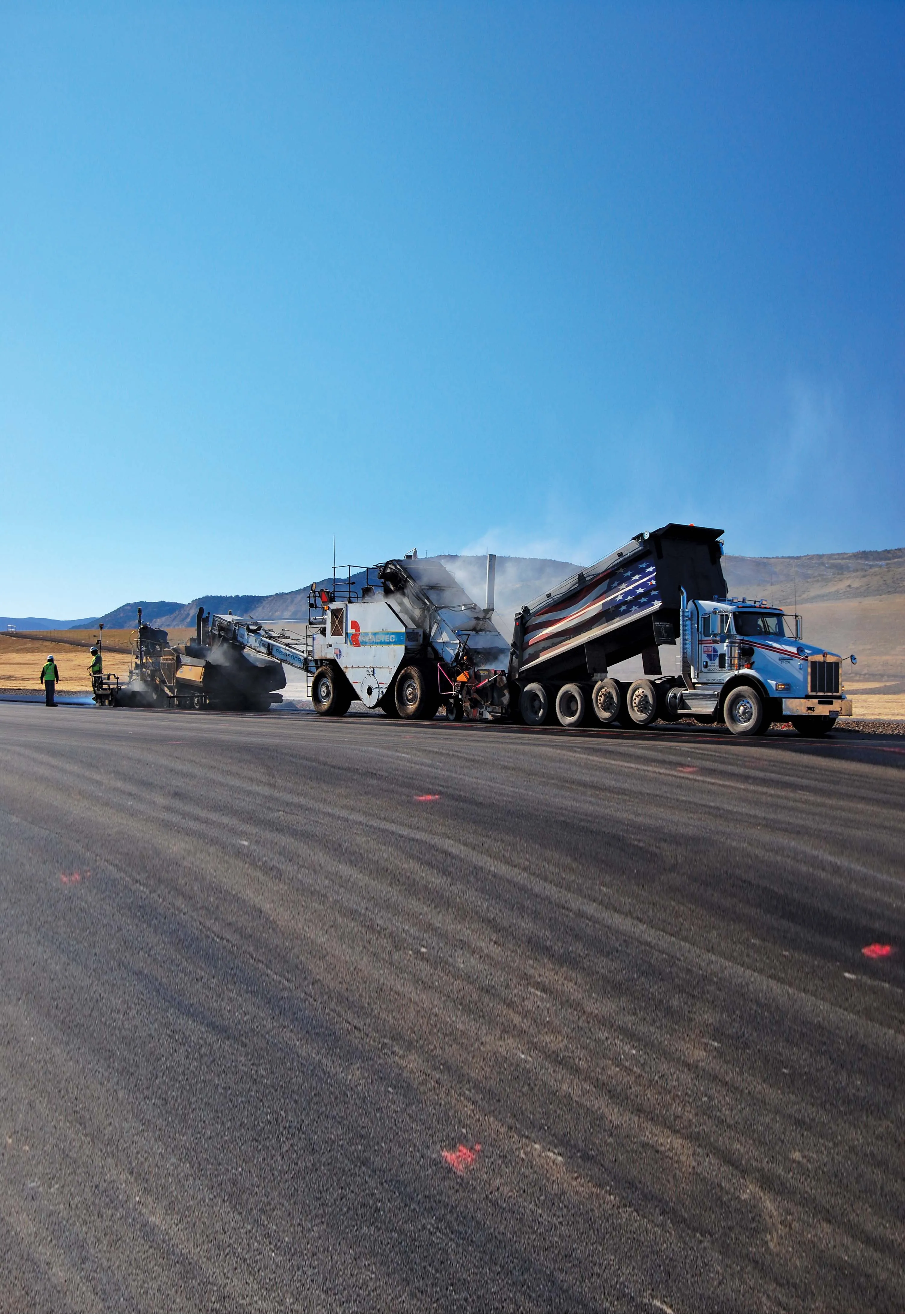
Topcon Positioning System’s new RD-M2 laser scanner has been purpose-built for road resurfacing applications.

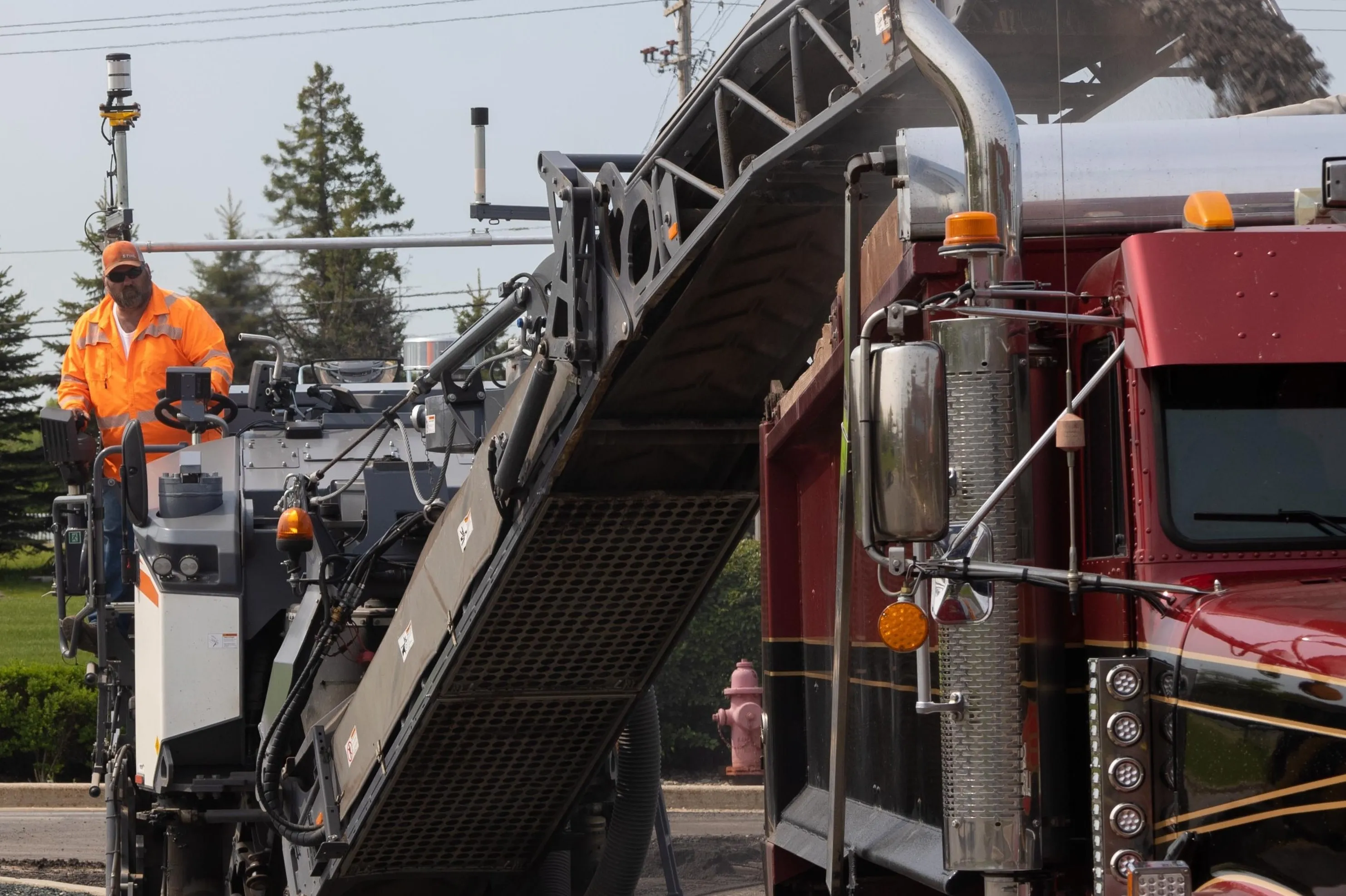
The vehicle-mounted downward-facing RD-M2 delivers precise surface conditions over long and complex roads, which means no road closures are needed.  

Millions of points are collected by the vehicle operator from safety of his or her cab.

The 3D point data from the RD-M2 scanner serves as the basis for detailed road surface designs using the Topcon Office Suite.  

These ground-truth surfaces are a part of the company’s SmoothRide system workflow.

Users can take advantage of Topcon’s intuitive workflow to create their own custom design from the scan or they can integrate a predefined template.  

Users can also align the scan to the local coordinate system with millimetre-level precision, providing complete flexibility for road resurfacing projects.  

For more information on companies in this article

Related Content

  • From Topcon comes a sophisticated mapping system
    February 8, 2013
    Topcon Europe Positioning says that its new IP-S2 Compact+ package is an innovative mobile mapping system that can accurately measure objects even in adverse weather conditions and enclosed job sites such as tunnels and mines. This replaces the earlier Topcon’s IP-S2 system, launched in 2009. The new vehicle-mounted system has improved scanner orientation to optimise visibility of roadside assets and is packaged in an affordable, compact system that fits on a car or truck. It offers full-colour, high-resolu
  • Trimble’s innovative machine control tools
    June 24, 2024
    Trimble is introducing an array of technology solutions for machine control as well as surveying.
  • Technology helps earth moving and paving
    August 18, 2014
    Located in Meeker, Colorado and serving the area for air transportation is Meeker Airport, a C-II general aviation airport. The FAA designation of C-II means the airport can accommodate aircraft with wingspan of less than 24m. Runway 3-21 at the Rio Blanco county-owned Meeker Airport had reached a point of wear and deterioration that required full reconstruction and upgrades to remain compliant with the FAA’s C-II requirements.
  • Topcon’s action station
    October 31, 2012
    Topcon Europe Positioning (TEP) has launched a new, professional-grade robotic total station – the PS series – which the firm says is designed to surpass the power, accuracy and capabilities of its peers. The PS is said to utilise Topcon’s new PowerTrac technology to increase the prism tracking power. “Using new optics, laser system and advanced algorithms, PowerTrac provides the PS with the ability to keep tracking a moving prism even under the toughest environmental conditions,” said Leighton Davies, surv