Get highly detailed 3D point road surface data from Topcon’s new RD-M2 scanner

April 11, 2025 Read time: 1 min
The vehicle-mounted downward-facing RD-M2 from Topcon Positioning Systems delivers precise surface conditions over long and complex roads

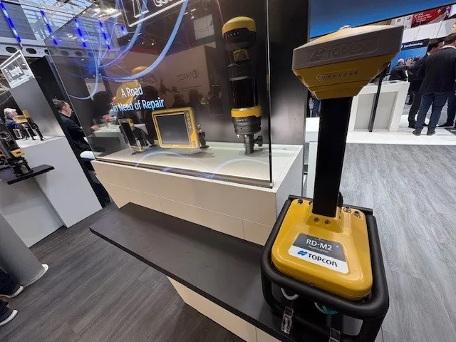
Topcon Positioning System’s new RD-M2 laser scanner has been purpose-built for road resurfacing applications.

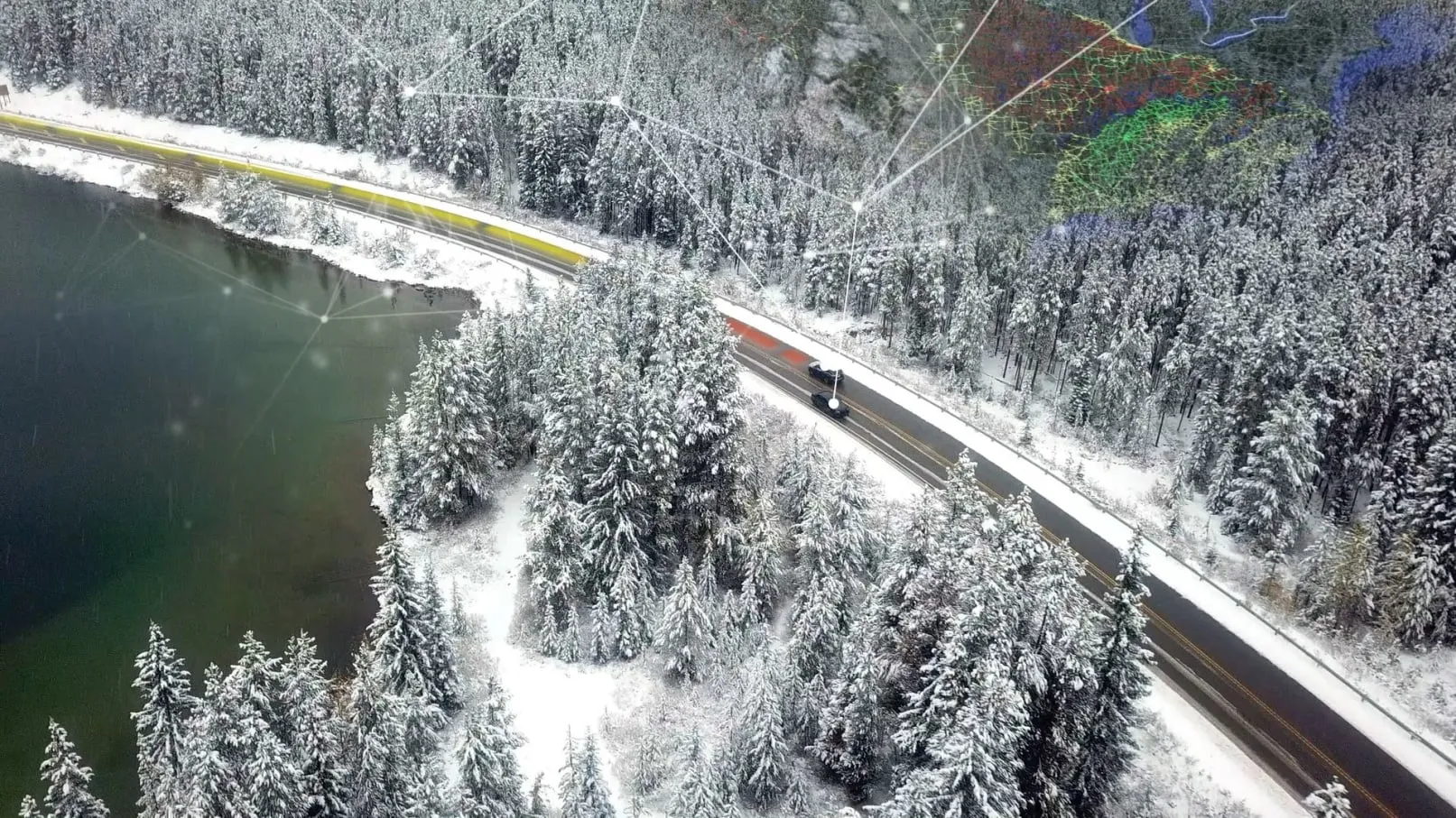
The vehicle-mounted downward-facing RD-M2 delivers precise surface conditions over long and complex roads, which means no road closures are needed.  

Millions of points are collected by the vehicle operator from safety of his or her cab.

The 3D point data from the RD-M2 scanner serves as the basis for detailed road surface designs using the Topcon Office Suite.  

These ground-truth surfaces are a part of the company’s SmoothRide system workflow.

Users can take advantage of Topcon’s intuitive workflow to create their own custom design from the scan or they can integrate a predefined template.  

Users can also align the scan to the local coordinate system with millimetre-level precision, providing complete flexibility for road resurfacing projects.  

For more information on companies in this article

Related Content

  • Fugro uses Traffic Speed Deflectometer scans for Highways England
    November 14, 2016
    Fugro has started scanning structural pavement condition data from lane 2 using Highways England’s Traffic Speed Deflectometer (TSD). This is the first time for such scanning as part of the routine network-wide survey of England’s strategic roads, according to Fugro. The global asset integrity specialist has been carrying out Traffic Speed Structural Surveys (TRASS) since autumn 2014 under a 3-year contract (TRASS 3) - Highways England’s largest ever outsourced contract for pavement structural condit
  • Beca Uses 3D Design and a Collaborative Environment on Takitimu North Link Project
    May 25, 2023

    The western Bay of Plenty region in New Zealand, south of Auckland on the North Island, is one of the fastest-growing regions in the country. Growing traffic in the area, with many serious crashes, strained road systems. To improve safety, access, travel options, and to support economic development in the area, Waka Kotahi NZ Transport Agency initiated the Takitimu North Link project.

  • Gothenburg to collect road condition data
    July 2, 2021
    The Swedish municipality of Gothenburg is working with ViaPM, NIRA Dynamics and Luleå University of Technology to gather data on road friction during the next two winters.
  • Leica Geosystems’ tools for site monitoring and handling GPR data
    October 11, 2017
    Leica Geosystems is offering new tools for construction firms for remote monitoring and for handling data from ground penetrating radar. With the GeoMoS Imaging package, users can stay up-to-date on remote monitoring; the live view allows observation and recording of areas of interest. A joystick provides remote access to the total station so that personnel can increase productivity and reduce time in the field.