Geotechnical tool from Trimble and GroundProbe

By MJ Woof May 13, 2025 Read time: 1 min
Trimble’s new tool developed with GroundProbe suits duties in geotechnical applications

Trimble and GroundProbe are introducing a new tool that will enable geotechnical customers to purchase a comprehensive slope stability monitoring portfolio from a single point of contact. GroundProbe customers can also purchase Trimble monitoring solutions to complement GroundProbe's range of sensors and software.

The system can assess slope stability, with integration between Trimble and GroundProbe sensors and software for smooth data flow. Incorporating the necessary mine monitoring sensors into one environment helps professionals visualise a picture of site conditions to improve decision making on slope stability risks and site safety.

Efficiency, reliability and safety can be improved in extreme site conditions due to effective slope stability monitoring.

For more information on companies in this article

Related Content

  • Connectivity is key for contractors
    November 8, 2022
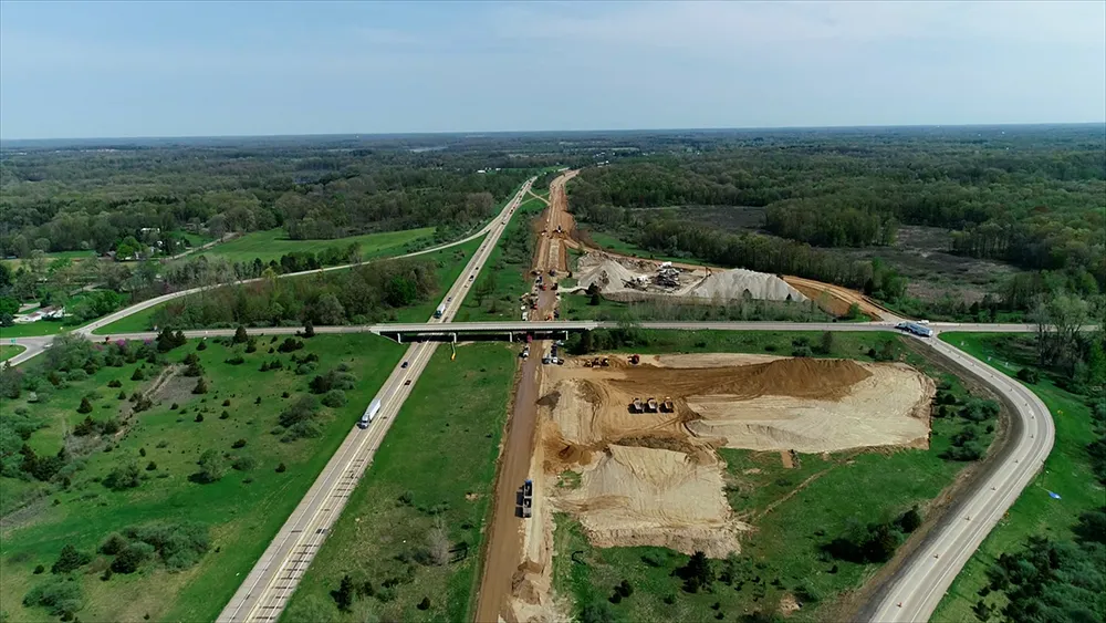
    Michigan Department of Transportation (MDOT) has planned its US$210 million I-69 Rebuild Project in Eaton and Calhoun Counties, work that will improve journeys for drivers in the area
  • Bentley Systems expanding through acquisition
    May 14, 2019
    Bentley Systems continues to expand its operations through acquisitions. The firm is now further developing its portfolio with the acquisition of Keynetix, a UK-headquartered provider of cloud-based software for capturing, visualising, modelling, and sharing of geotechnical data. The company says that the addition of Keynetix software expands its geotechnical offerings and allows it to develop subsurface digital twins for infrastructure projects and assets. According to the company, subsurface digital twi
  • Quantm is making Trimble one of the world’s leading BIM market challengers
    December 19, 2016
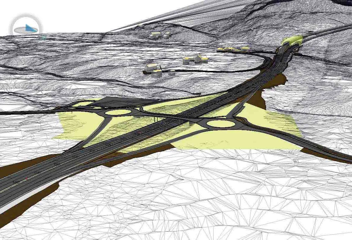
    When Trimble first launched its Quantm software system a decade or so ago, the company was making an important step into end-to-end BIM modelling. The rules of the game were changing fast. Adrian Greeman reports When survey and machine control equipment maker Trimble bought the Australian road planning software system Quantm in 2006 it might not have realised quite what it was leading to. A decade later, Quantm is helping to put Trimble among the big players in the BIM (building information modelling) en
  • Movement monitoring
    February 6, 2012
    New software and hardware from Trimble provide movement monitoring capabilities for major structures New Trimble 4D control software offers users the chance to monitor movement of structures such as bridges and flyovers, using a combination of GNSS and optical technologies.