Generate real-world ROI with reality modeling!

Understanding existing site conditions is essential to efficiently design, build, and operate road networks around the world. But how can the real-world be captured quickly and cost-effectively?
September 8, 2022 Read time: 1 min
Courtesy of RS&H

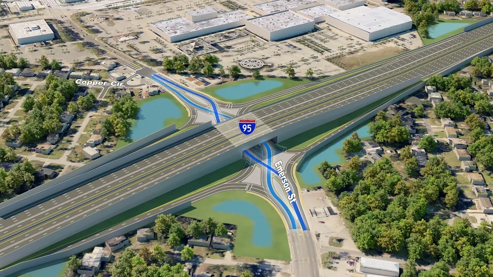
Reality modeling is going mainstream in the transportation industry as it provides real-world digital context for infrastructure projects, enabling organisations to improve worker safety, start projects faster, iterate designs more efficiently, and share information more effectively.

Bentley’s reality modeling software solutions automatically generate high-fidelity 3D reality models from simple photographs and/or point clouds. These reality data can be captured from a variety of devices and techniques, including aerial LiDAR, drone photography, hand-held cameras, terrestrial laser scanners, mobile mapping systems, and even smartphones. The process brings new opportunities to optimize workflows to win projects.

Courtesy of Alabama DOT

You can manage an unlimited number of high resolution photographs, dense point clouds, and panoramic images to gather the information needed to create high-fidelity georeferenced 3D models, reducing health and safety risks for works at dangerous sites. These 3D reality models are quickly generated and available in many formats for users to incorporate into their design, construction, analysis and operation workflows.

Download our e-book and learn how transportation agencies are leveraging reality modeling throughout the asset lifecycle to accelerate the decision-making process and improve team collaboration.

Click here to download our e-book

Content produced in association with Bentley Systems.

For more information on companies in this article

Related Content

  • The Ripple effect from Tanattorn
    July 2, 2024
    Wasuwat Bunwit, managing director of Tanattorn, reflects on how the Ripple Delineator is spearheading the Thai manufacturer’s drive into the European road safety market
  • Wider range of survey software functionality
    February 9, 2012
    Leica Geosystems is offering a broad spread of new packages and hardware that will deliver improved performance to users. The firmware 2.0 product is said to add powerful new capabilities to the Leica ScanStation C10, the industry's most popular 3D laser scanner for as-built and topographic surveys. This further increases the productivity and versatility of the fully integrated, cable-less ScanStation C10. A new Setup facility lets users take advantage of known survey points and backsighting, while remote,
  • Bentley announces 2024 awards finalists
    August 16, 2024
    Bentley has announced its 2024 awards finalists.
  • Crossing the Alps for five decades
    March 24, 2020
    Italy’s A22 Autostrada route is a key transport connection for Europe and also a model for efficient operational management