Generate real-world ROI with reality modeling!

Understanding existing site conditions is essential to efficiently design, build, and operate road networks around the world. But how can the real-world be captured quickly and cost-effectively?
September 8, 2022 Read time: 1 min
Courtesy of RS&H

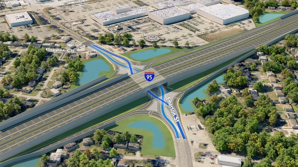
Reality modeling is going mainstream in the transportation industry as it provides real-world digital context for infrastructure projects, enabling organisations to improve worker safety, start projects faster, iterate designs more efficiently, and share information more effectively.

Bentley’s reality modeling software solutions automatically generate high-fidelity 3D reality models from simple photographs and/or point clouds. These reality data can be captured from a variety of devices and techniques, including aerial LiDAR, drone photography, hand-held cameras, terrestrial laser scanners, mobile mapping systems, and even smartphones. The process brings new opportunities to optimize workflows to win projects.

Courtesy of Alabama DOT

You can manage an unlimited number of high resolution photographs, dense point clouds, and panoramic images to gather the information needed to create high-fidelity georeferenced 3D models, reducing health and safety risks for works at dangerous sites. These 3D reality models are quickly generated and available in many formats for users to incorporate into their design, construction, analysis and operation workflows.

Download our e-book and learn how transportation agencies are leveraging reality modeling throughout the asset lifecycle to accelerate the decision-making process and improve team collaboration.

Click here to download our e-book

Content produced in association with Bentley Systems.

For more information on companies in this article

Related Content

  • Scanning accurately
    July 19, 2012
    Riegl says that its innovative laser scanners allow accurate 3D mapping from the air or on-road. The system uses high-speed laser pulses to capture millimetre accurate measurements at ranges of up to 500m. The scanners offer online full-waveform analysis, digital processing and high data capture rates, according to the firm. With scanning rates up to 100 scans/second and pulse repetition rates up to 200 Hz the range is said to offer multiple, unlimited target capability. A range of additional options includ
  • BIM for US bridge building
    September 30, 2022
    BIM will be used for US bridge building.
  • Awards for three US bridge projects
    November 25, 2019
    Three major bridge projects in the US have won key awards for engineering excellence. The three structures have been given the awards by the American Segmental Bridge Institute (ASBI). The bridges are: the Marc Basnight Bridge (Bonner Bridge Replacement) in North Carolina, the St Croix River Crossing in Minnesota and the Bayonne Bridge in New York/New Jersey.
  • Giving four hours back to the day… and much more
    October 7, 2019
    A 20km long elevated expressway in Dhaka will be one of Bangladesh’s first Public Private Partnership transport projects – words and pictures by Ruby Kitching, on behalf of Mott MacDonald.