Generate real-world ROI with reality modeling!

Understanding existing site conditions is essential to efficiently design, build, and operate road networks around the world. But how can the real-world be captured quickly and cost-effectively?
September 8, 2022 Read time: 1 min
Courtesy of RS&H

Reality modeling is going mainstream in the transportation industry as it provides real-world digital context for infrastructure projects, enabling organisations to improve worker safety, start projects faster, iterate designs more efficiently, and share information more effectively.

Bentley’s reality modeling software solutions automatically generate high-fidelity 3D reality models from simple photographs and/or point clouds. These reality data can be captured from a variety of devices and techniques, including aerial LiDAR, drone photography, hand-held cameras, terrestrial laser scanners, mobile mapping systems, and even smartphones. The process brings new opportunities to optimize workflows to win projects.

Courtesy of Alabama DOT

You can manage an unlimited number of high resolution photographs, dense point clouds, and panoramic images to gather the information needed to create high-fidelity georeferenced 3D models, reducing health and safety risks for works at dangerous sites. These 3D reality models are quickly generated and available in many formats for users to incorporate into their design, construction, analysis and operation workflows.

Download our e-book and learn how transportation agencies are leveraging reality modeling throughout the asset lifecycle to accelerate the decision-making process and improve team collaboration.

Click here to download our e-book

Content produced in association with Bentley Systems.

For more information on companies in this article

Related Content

  • RiverLinx consortium inks London’s Silvertown Tunnel deal
    November 27, 2019
    The RiverLinx consortium has reached financial close on the €1.17 billion Silvertown Tunnel project after a three-year procurement process by the client Transport for London.
  • Bentley Systems strikes bridge monitoring deal with AASHTO
    November 15, 2012
    A new partnership between Bentley Systems and the American Association of Highway Transportation Officials (AASHTO) looks set to yield significant cost benefits for the US. This move will see AASHTO and Bentley align to extend AASHTO’s Bridge Management software with Bentley’s Inspectech package. As a result, bridge inspection processes in the US will become more efficient, more accurate and also see major budget reductions. CEO Greg Bentley said, “In the US we spend about US$1 billion/year on bridge inspec
  • Widest cold planer attachment range in the world
    October 1, 2024
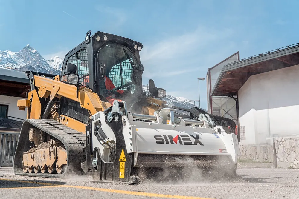
    For more than 30 years, Simex has been at the forefront of the design and manufacturing of road maintenance equipment. From the first planers for compact loaders, created in 1991, to the most recent patents, Simex is the technological partner of thousands of companies, with a distribution network covering over 80 countries and the widest range of cold planers in the world, capable of satisfying any need application.
  • Remote surveying and scanning
    January 18, 2022
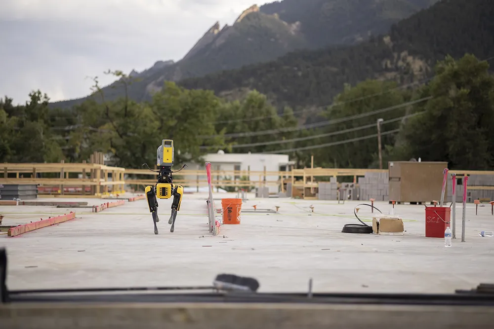
    Remote surveying and scanning can be achieved using the autonomous robotic system available from Trimble. The package combines the Spot robot autonomous rover unit with the Trimble X7 3D laser scanner and Trimble FieldLink software.