Generate real-world ROI with reality modeling!

Understanding existing site conditions is essential to efficiently design, build, and operate road networks around the world. But how can the real-world be captured quickly and cost-effectively?
September 8, 2022 Read time: 1 min
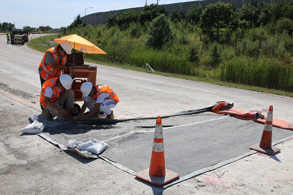
Courtesy of RS&H

Reality modeling is going mainstream in the transportation industry as it provides real-world digital context for infrastructure projects, enabling organisations to improve worker safety, start projects faster, iterate designs more efficiently, and share information more effectively.

Bentley’s reality modeling software solutions automatically generate high-fidelity 3D reality models from simple photographs and/or point clouds. These reality data can be captured from a variety of devices and techniques, including aerial LiDAR, drone photography, hand-held cameras, terrestrial laser scanners, mobile mapping systems, and even smartphones. The process brings new opportunities to optimize workflows to win projects.

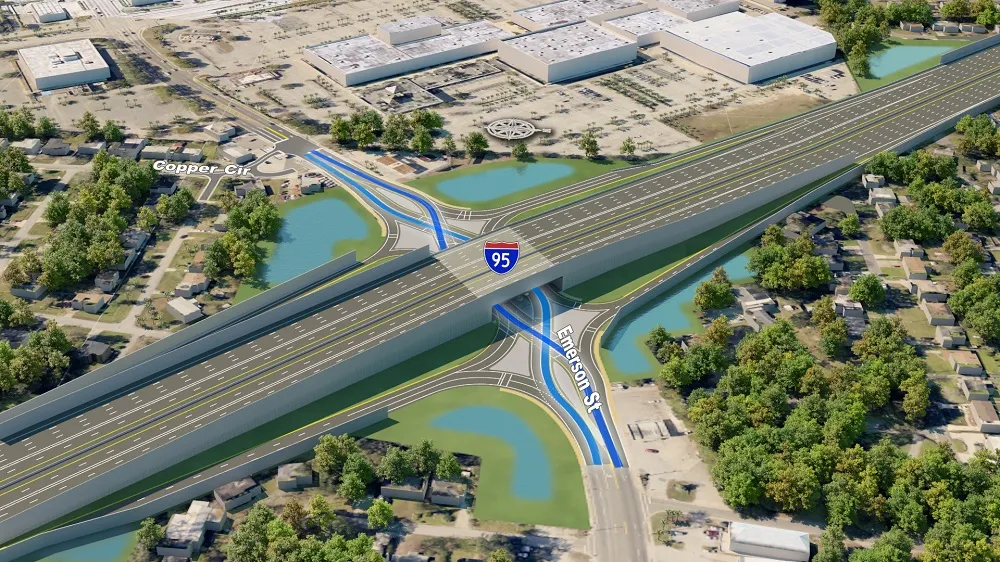
Courtesy of Alabama DOT

You can manage an unlimited number of high resolution photographs, dense point clouds, and panoramic images to gather the information needed to create high-fidelity georeferenced 3D models, reducing health and safety risks for works at dangerous sites. These 3D reality models are quickly generated and available in many formats for users to incorporate into their design, construction, analysis and operation workflows.

Download our e-book and learn how transportation agencies are leveraging reality modeling throughout the asset lifecycle to accelerate the decision-making process and improve team collaboration.

Click here to download our e-book

Content produced in association with Bentley Systems.

For more information on companies in this article

Related Content

  • Embedded sensors help deliver self-monitoring roads
    November 22, 2021
    As road authorities look to automate their road monitoring and maintenance, we will need more and more sensors within our highway networks
  • Data collection key to software developments
    February 13, 2012
    The collection and handling of data are key technology drivers in the software sector. New methods of data collection and manipulation are driving significant developments in software at present. The latest technology allows designers and engineers to collect, store and manipulate ever larger amounts of data. Growing use of mobile field equipment for both data collection and field management is driving interactive systems. And in an interview this month Autodesk senior vice-president for the construction an
  • Topcon partnership for photogrammetry
    December 7, 2015
    Topcon Positioning is establishing a new partnership for photogrammetry technology. The deal has been struck with digital photogrammetric solution provider Agisoft. This move will further expand the Topcon portfolio of solutions for mass data collection (MDC). Agisoft is a leader in the processing of digital imagery for generating high-accuracy 3D spatial data using photogrammetric and computer vision techniques. Topcon will provide the Agisoft Photogrammetric Kit for Topcon – Professional Edition software
  • Aggregate Industries Launches UK’s First Ever Commercially Available Biogenic Asphalt
    March 2, 2022
    As part of its ongoing commitment to decarbonising the construction industry, leading building materials supplier Aggregate Industries has further developed its SuperLow product range with the launch of the UK’s first commercially available biogenic asphalt.