
Generate real-world ROI with reality modeling!

Understanding existing site conditions is essential to efficiently design, build, and operate road networks around the world. But how can the real-world be captured quickly and cost-effectively?
September 8, 2022 Read time: 1 min
Courtesy of RS&H

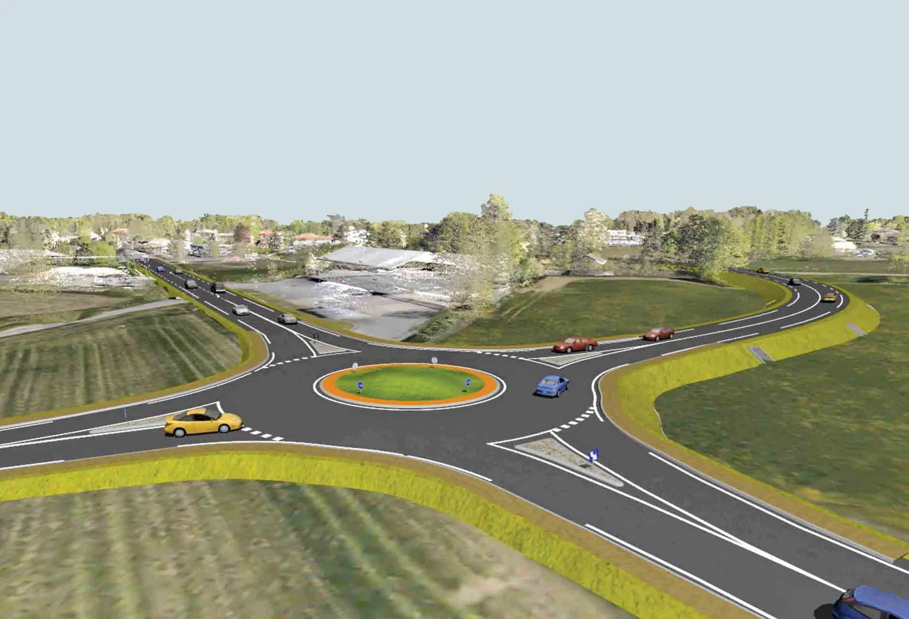
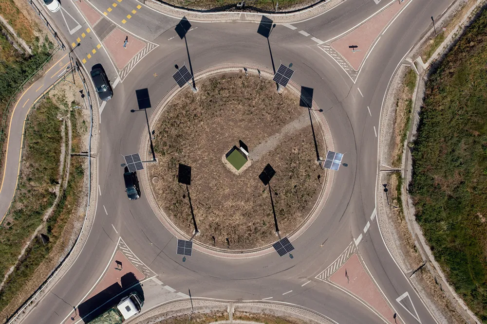
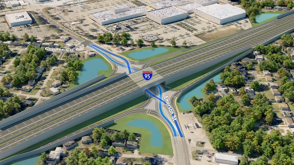
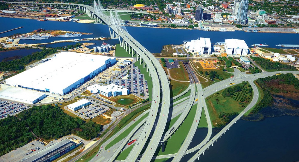
Reality modeling is going mainstream in the transportation industry as it provides real-world digital context for infrastructure projects, enabling organisations to improve worker safety, start projects faster, iterate designs more efficiently, and share information more effectively.

Bentley’s reality modeling software solutions automatically generate high-fidelity 3D reality models from simple photographs and/or point clouds. These reality data can be captured from a variety of devices and techniques, including aerial LiDAR, drone photography, hand-held cameras, terrestrial laser scanners, mobile mapping systems, and even smartphones. The process brings new opportunities to optimize workflows to win projects.

Courtesy of Alabama DOT

You can manage an unlimited number of high resolution photographs, dense point clouds, and panoramic images to gather the information needed to create high-fidelity georeferenced 3D models, reducing health and safety risks for works at dangerous sites. These 3D reality models are quickly generated and available in many formats for users to incorporate into their design, construction, analysis and operation workflows.

Download our e-book and learn how transportation agencies are leveraging reality modeling throughout the asset lifecycle to accelerate the decision-making process and improve team collaboration.

Click here to download our e-book

Content produced in association with Bentley Systems.

For more information on companies in this article

Related Content

  • Bentley creates digital production chain for Pont-de-Veyle bypass
    September 14, 2016
    Pont-de-Veyle is a picturesque village of around 1,600 people in France’s eastern Rhones-Alps region. Being in a tourist area and close to major towns and cities meant that traffic – around 9,000 vehicles a day through its small streets – was becoming a concern The village sits about 30km from the larger town of Bourg-en-Bresse, towards the Swiss border. It also lies around 60km from the city of Lyon, all in the Department of Ain. The regional administrative authority Ain created the Conseil Départementa
  • Machine control technology round table discussion with Leica Geosystems, Topcon and Trimble
    January 4, 2022
    In this, the first in a series of top-level roundtable discussions led by World Highways, editor Mike Woof and editorial director Geoff Hadwick talk machine control technology with three world-class experts from Leica Geosystems, part of Hexagon, Topcon and Trimble. Find out what these key opinion leaders are thinking on six vitally important topics. Let them help you stay ahead of the game.
  • Charging 'Roundtable' urges standardisation
    July 23, 2025
    A lack of standardisation for charging infrastructure is holding back the push towards the construction machine sector going electric. Now, a recently established “roundtable” of industry experts will investigate how to move forward.
  • A roundabouts way of lighting
    October 10, 2022
    One of Europe’s first smart lighting systems specifically for roudabouts is operating in Hungary and making big energy savings for local government, explains Miklós Muranyi*