Generate real-world ROI with reality modeling!

Understanding existing site conditions is essential to efficiently design, build, and operate road networks around the world. But how can the real-world be captured quickly and cost-effectively?
September 8, 2022 Read time: 1 min
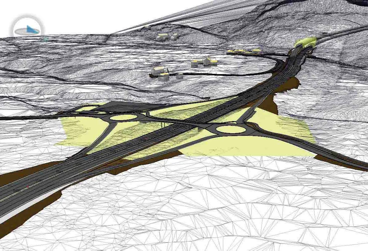
Courtesy of RS&H

Reality modeling is going mainstream in the transportation industry as it provides real-world digital context for infrastructure projects, enabling organisations to improve worker safety, start projects faster, iterate designs more efficiently, and share information more effectively.

Bentley’s reality modeling software solutions automatically generate high-fidelity 3D reality models from simple photographs and/or point clouds. These reality data can be captured from a variety of devices and techniques, including aerial LiDAR, drone photography, hand-held cameras, terrestrial laser scanners, mobile mapping systems, and even smartphones. The process brings new opportunities to optimize workflows to win projects.

Courtesy of Alabama DOT

You can manage an unlimited number of high resolution photographs, dense point clouds, and panoramic images to gather the information needed to create high-fidelity georeferenced 3D models, reducing health and safety risks for works at dangerous sites. These 3D reality models are quickly generated and available in many formats for users to incorporate into their design, construction, analysis and operation workflows.

Download our e-book and learn how transportation agencies are leveraging reality modeling throughout the asset lifecycle to accelerate the decision-making process and improve team collaboration.

Click here to download our e-book

Content produced in association with Bentley Systems.

For more information on companies in this article

Related Content

  • IRF announces 2012 GRAA Winners
    October 15, 2012
    Organisations behind the Rio de Janeiro's RJ122 project; the Kosovo Motorway project; and New York City's State-of-the-Art ITS Infrastructure Deployment Program were among the winners of the International Road Federation’s (IRF) 2012 Global Road Achievement Awards (GRAA) competition. This year's awards, whose winners were announced by IRF chairman and mayor of Riyadh, H.E Abdullah A. Al-Mogbel, honour nine projects from countries across the globe, each leading the way in innovation and excellence in its res
  • Quantm is making Trimble one of the world’s leading BIM market challengers
    December 19, 2016
    When Trimble first launched its Quantm software system a decade or so ago, the company was making an important step into end-to-end BIM modelling. The rules of the game were changing fast. Adrian Greeman reports When survey and machine control equipment maker Trimble bought the Australian road planning software system Quantm in 2006 it might not have realised quite what it was leading to. A decade later, Quantm is helping to put Trimble among the big players in the BIM (building information modelling) en
  • Upbeat in Beijing for BICES number 15
    January 22, 2020
    This year’s BICES exhibition in Beijing showcased much machinery destined for export to emergent countries that are taking advantage of China’s Belt and Road Initiative
  • Utility machine innovations coming to market
    December 1, 2022
    A wide array of new items of compact utility equipment are coming to market, with low emissions and noise as key machine trends