Generate real-world ROI with reality modeling!

Understanding existing site conditions is essential to efficiently design, build, and operate road networks around the world. But how can the real-world be captured quickly and cost-effectively?
September 8, 2022 Read time: 1 min
Courtesy of RS&H

Reality modeling is going mainstream in the transportation industry as it provides real-world digital context for infrastructure projects, enabling organisations to improve worker safety, start projects faster, iterate designs more efficiently, and share information more effectively.

Bentley’s reality modeling software solutions automatically generate high-fidelity 3D reality models from simple photographs and/or point clouds. These reality data can be captured from a variety of devices and techniques, including aerial LiDAR, drone photography, hand-held cameras, terrestrial laser scanners, mobile mapping systems, and even smartphones. The process brings new opportunities to optimize workflows to win projects.

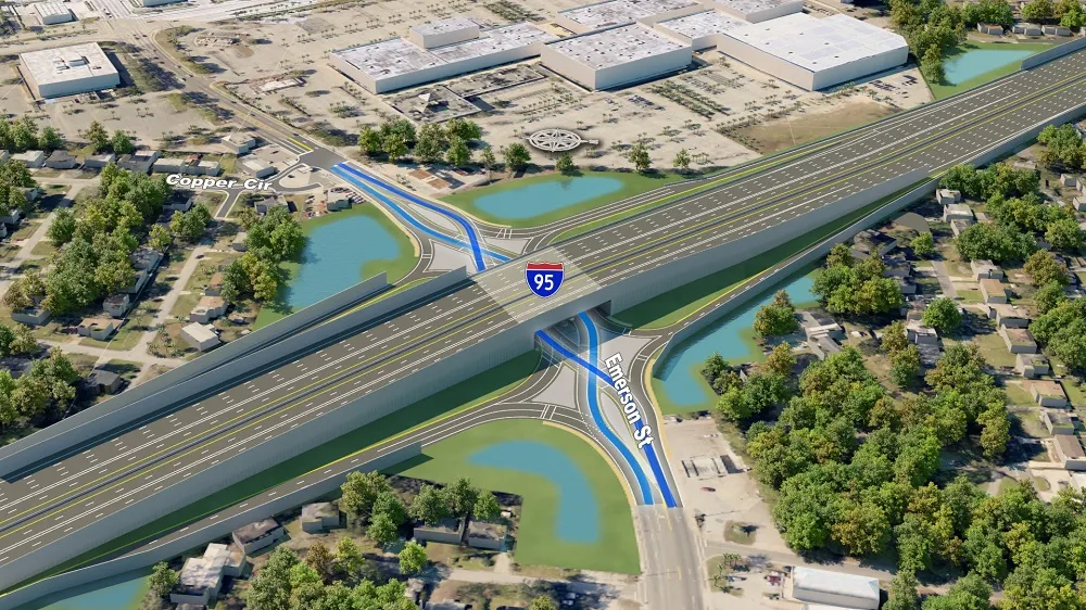
Courtesy of Alabama DOT

You can manage an unlimited number of high resolution photographs, dense point clouds, and panoramic images to gather the information needed to create high-fidelity georeferenced 3D models, reducing health and safety risks for works at dangerous sites. These 3D reality models are quickly generated and available in many formats for users to incorporate into their design, construction, analysis and operation workflows.

Download our e-book and learn how transportation agencies are leveraging reality modeling throughout the asset lifecycle to accelerate the decision-making process and improve team collaboration.

Click here to download our e-book

Content produced in association with Bentley Systems.

For more information on companies in this article

Related Content

  • Bentley boosts its OpenRoads CONNECT construction software
    November 1, 2016
    Construction software solutions provider Bentley Systems announced that its OpenRoads Designer CONNECT Edition will be available from December. OpenRoads CONNECT Edition is the successor to Bentley’s civil engineering brands InRoads, GEOPAK, MX, and PowerCivil. OpenRoads Designer is a multi-discipline 3D modeling application for roadway projects from conceptual design through construction stages. Bentley Systems said that it “blends traditional engineering workflows for plan, profile and cross-section
  • Bentley Systems launches OpenRoads Designer CONNECT Edition
    April 13, 2017
    The beginning of this year saw Bentley Systems launch a major advanced comprehensive global tool for today’s increasingly widespread BIM environment. Christmas 2016 came early for Bentley's global clients. In fact, they had a hint of what was going to be under their tree come the celebrations in December. On November 1, at Bentley’s annual global client gathering and awards event Year in Infrastructure Conference in London, the solutions provider announced that OpenRoads Designer CONNECT Edition would be a
  • Analysing carbon quantities for construction
    October 14, 2024
    Using software tools can help analysing carbon from for construction works.
  • Laser scanning focuses on asset management
    January 9, 2015
    Laser scanners and improved data collection and analysis software are making light of asset management surveying. David Arminas reports The age of the laser scanner is upon us, taking over from traditional manual methods of surveying, data collection and processing. These new technical developments are making it much easier to process and use the data captured and are providing highways engineers with powerful tools to record, map and visualise their assets. This is good news for highways authorities