Generate real-world ROI with reality modeling!

Understanding existing site conditions is essential to efficiently design, build, and operate road networks around the world. But how can the real-world be captured quickly and cost-effectively?
September 8, 2022 Read time: 1 min
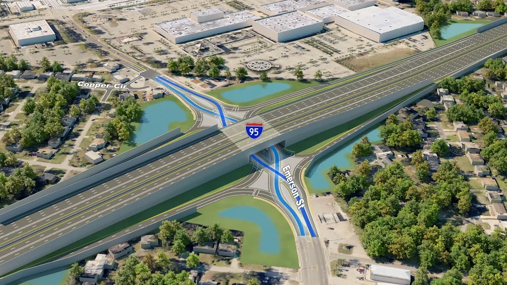
Courtesy of RS&H

Reality modeling is going mainstream in the transportation industry as it provides real-world digital context for infrastructure projects, enabling organisations to improve worker safety, start projects faster, iterate designs more efficiently, and share information more effectively.

Bentley’s reality modeling software solutions automatically generate high-fidelity 3D reality models from simple photographs and/or point clouds. These reality data can be captured from a variety of devices and techniques, including aerial LiDAR, drone photography, hand-held cameras, terrestrial laser scanners, mobile mapping systems, and even smartphones. The process brings new opportunities to optimize workflows to win projects.

Courtesy of Alabama DOT

You can manage an unlimited number of high resolution photographs, dense point clouds, and panoramic images to gather the information needed to create high-fidelity georeferenced 3D models, reducing health and safety risks for works at dangerous sites. These 3D reality models are quickly generated and available in many formats for users to incorporate into their design, construction, analysis and operation workflows.

Download our e-book and learn how transportation agencies are leveraging reality modeling throughout the asset lifecycle to accelerate the decision-making process and improve team collaboration.

Click here to download our e-book

Content produced in association with Bentley Systems.

For more information on companies in this article

Related Content

  • New Bocimi Toll Road Aims to Reduce Travel Time and Boost Indonesia’s Economy
    April 20, 2023
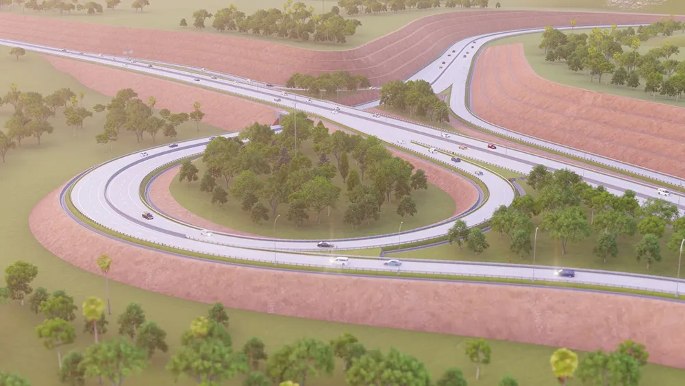
    The Bogor-Ciawi-Sukabumi (Bocimi) toll road is a series of national strategic projects to help reduce traffic congestion along the existing factory-lined roadway, as well as enhance regional connectivity and tourism in West Java. Spanning 54 kilometers, the new highway corridor is expected to shorten travel time between the Bogor and Sukabumi provinces from two hours to 30 minutes and boost economic conditions in the surrounding Sukabumi area. Construction is divided into four phases, the first of which measures 15.35 kilometers and is already complete. PT Waskita Karya (Waskita) is the main contractor for the IDR 2.1 trillion second section, spanning 11.9 kilometers between Cigombong and Cibadak, and set for completion in 2023 after being delayed due to the pandemic.
  • Beca Uses 3D Design and a Collaborative Environment on Takitimu North Link Project
    May 25, 2023

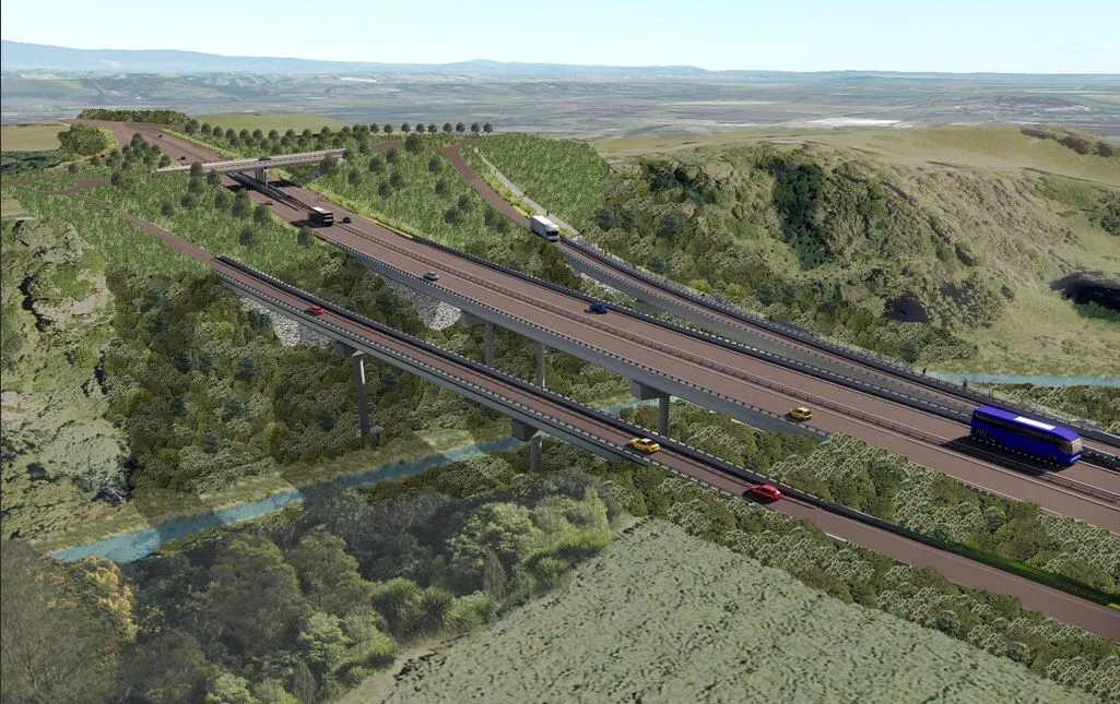
    The western Bay of Plenty region in New Zealand, south of Auckland on the North Island, is one of the fastest-growing regions in the country. Growing traffic in the area, with many serious crashes, strained road systems. To improve safety, access, travel options, and to support economic development in the area, Waka Kotahi NZ Transport Agency initiated the Takitimu North Link project.

  • Great Eastern Bypass Interchanges Improve Safety, Connectivity, and Travel Times in Perth’s Eastern Metropolitan Regions
    June 27, 2023

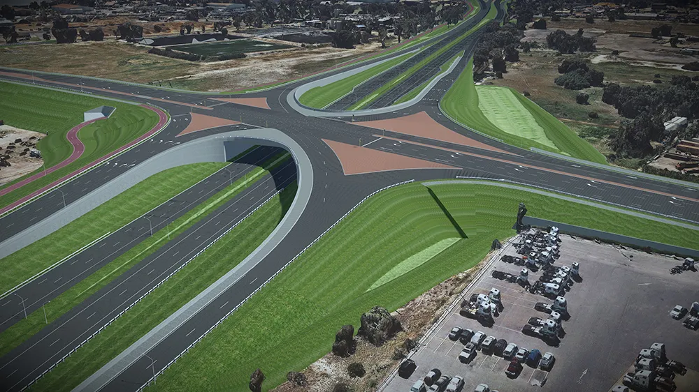
    Located in eastern Perth, the Great Eastern Highway Bypass Interchanges project aims to upgrade two major interchanges at Roe Highway and Abernathy Road, which have become increasingly congested and caused significant delays for travelers. The AUD 380 million project will replace the current signalized intersections used by 60,000 motorists daily with two grade-separated interchanges.

  • AFRY Helps Scania Drive Toward Sustainable Transport with New Autonomous Vehicle Test Track
    March 10, 2023
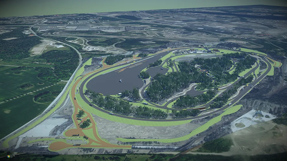
    With the rapid development of autonomous and electrified vehicles, Swedish heavy truck and bus manufacturer Scania is developing a new test track in Södertälje, 40 kilometers southwest of Stockholm. To design the track to simulate multiple scenarios, Scania hired AFRY for their design and engineering expertise. The test track includes 19 kilometers of roads with more than 60 intersections and junctions, though complex, hilly ground conditions that will make layout difficult. Since changing any single element would impact numerous others, AFRY needed a flexible, accessible design environment.