Faster surveying with Leica Geosystems

Leica Geosystems says that the new LS15 tool can be used to complete all the key stages for levelling. The system has a high accuracy of 0.2mm, which can be achieved by aiming at the target via the colour touch display and pressing the measuring button. Key working features include an electronic bubble and tilt checks prior to each measurement and autofocus. These are said to help to reduce fatigue over a shift and help minimise the risk of working errors, ensuring consistently high accuracy of measureme
June 16, 2016 Read time: 2 mins
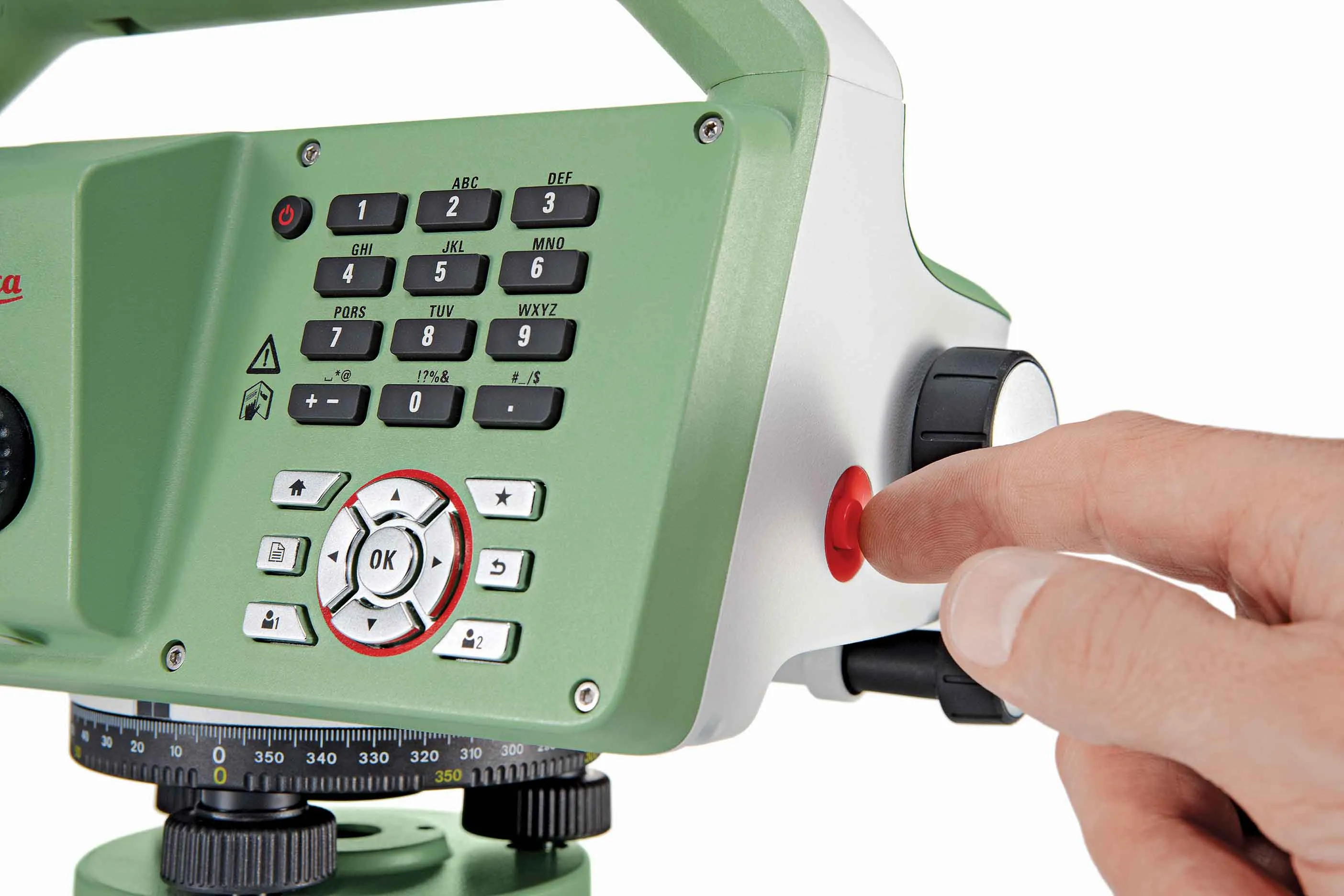
The new tool from Leica Geosystems helps boost surveying efficiency
265 Leica Geosystems says that the new LS15 tool can be used to complete all the key stages for levelling. The system has a high accuracy of 0.2mm, which can be achieved by aiming at the target via the colour touch display and pressing the measuring button.

Key working features include an electronic bubble and tilt checks prior to each measurement and autofocus. These are said to help to reduce fatigue over a shift and help minimise the risk of working errors, ensuring consistently high accuracy of measurement.

The firm says that the LS15 is the only level on the market equipped with a camera and this allows target staffs to be sighted faster. Users locate the staff on the camera touch display and then press the measuring button to record the staff reading and measurement values.

The unit’s USB and Bluetooth interface allow enable fast data transfer, while the Leica Infinity software package can process complex levelling data in the office. Users can combine tables with graphics or cross check key project information in one program window, providing access to all data, results and deliverables.

For more information on companies in this article

Related Content

  • App upgrades and power choices
    November 13, 2024
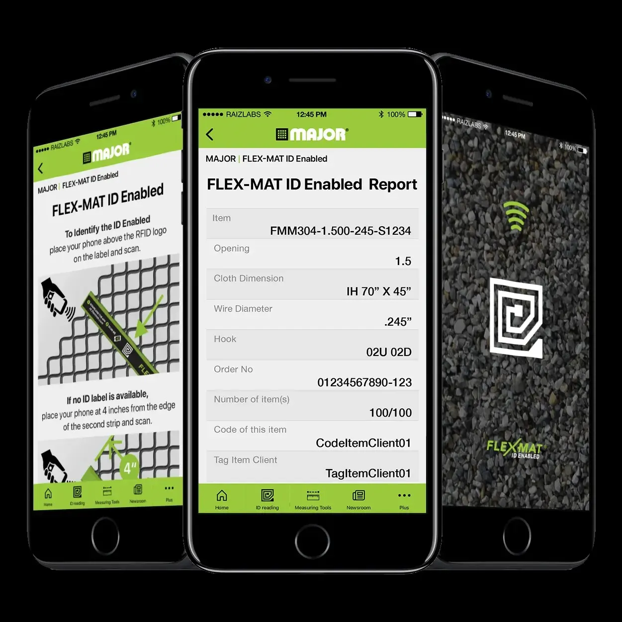
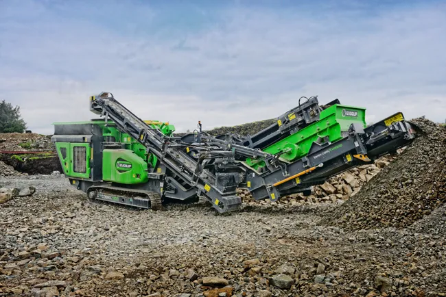
    The use of apps for more productive screening operations and the dual use of diesel and electric power have helped boost quarry efficiencies, according to Kleeman, Major and Screenscore.
  • Road construction software innovations
    February 13, 2012
    A range of key software innovations are now available for road construction applications from various suppliers - Adrian Greeman writes. Two significant and highly economic alternatives are now available to the major CAD providers both from Belgium and both offering interesting features. First is Pythagoras, which describes itself as a modern CAD program specially designed for topographical applications which include land surveying, road design and city planning.
  • Bentley’s point cloud innovation for information modelling in road design
    August 22, 2013
    Latest software packages from Bentley Systems will help optimise project design and construction efficiency – Mike Woof reports Software systems have come a long way in helping optimise construction projects from design through construction to delivery. And the latest software from Bentley Systems offers additional capabilities for road design applications. Bentley Systems is offering the V8i (SELECTseries 3) versions of its InRoads, GEOPAK, and MXROAD products. All of the products now share the
  • Crushing and screening advances introduced
    June 10, 2019
    New developments in crushing and screening equipment as well as washing technology will deliver benefits for materials production - Mike Woof writes Competition is tough in the market for quarry material processing equipment, with key firms introducing new systems that are said to boost capacity and performance. Firms offering crushing and screening equipment have expanded their respective ranges, offering additional capabilities for these segments. Mobility and versatility have been key factors in the d