Fast laser scanning from Hexagon

Hexagon says that its next-generation Leica BLK360 laser scanner offers precise and accurate scanning operations.
June 19, 2023 Read time: 1 min
© Lapandr | Dreamstime.com

According to the firm, the new BLK360 creates photorealistic, accurate digital twins within just 20 seconds. Like its predecessor, the new BLK360 can introduce reality capture to new industries and markets due to its speed, portability, and ease of use. The new BLK360 is said to be an ideal sensor for any application requiring fast, up-to-date scanning, such as digital construction and building life cycle monitoring. It enables users to move quickly about any environment without interruption, viewing and sharing the data during the capture process to provide real-time access to updated digital twins. The BLK360 is said to boost Hexagon’s portfolio of sensor-software systems. These can generate Smart Digital Realities by merging digital and physical worlds in real time. Combined, the new scanning and imaging technologies onboard the BLK360 enable fast and accurate reality capture workflows. BLK360 data can be automatically uploaded to HxDR, Hexagon’s cloud-based reality capture platform where users can build their own Smart Digital Realities.

For more information on companies in this article

Related Content

  • How data mining and the intelligence it creates is helping sites run more effectively and efficiently
    December 13, 2022
    In this, the third in our series of top-level roundtable discussions led by World Highways, editor Mike Woof and roundtable host Nadira Tudor talk machine control technology with three world-class experts from Leica Geosystems (part of Hexagon), Topcon, and Trimble. There’s never been a more exciting time to be in construction as innovation makes us more productive, more efficient, more sustainable, and better connected. Autonomy means opportunity.
  • Connectivity is key for contractors
    November 8, 2022
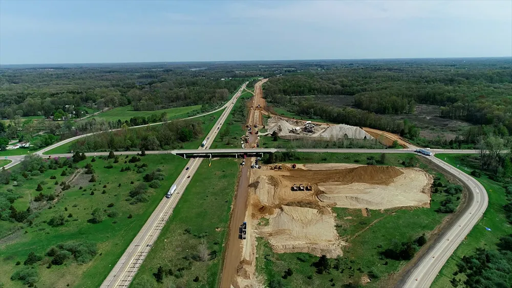
    Michigan Department of Transportation (MDOT) has planned its US$210 million I-69 Rebuild Project in Eaton and Calhoun Counties, work that will improve journeys for drivers in the area
  • Made to Measure laser mapping
    June 15, 2012
    Dutch surveying company Geomaat says it is taking millimetre accurate measurements in record time to aid a range of highway design, construction and maintenance projects. Using the mobile laser mapping system StreetMapper, and specially developed point cloud software, Geomaat says it can calculate highly accurate cutting, milling and asphalt figures, create as built models and undertake change detection.
  • Made to Measure laser mapping
    June 26, 2012
    Dutch surveying company Geomaat says it is taking millimetre accurate measurements in record time to aid a range of highway design, construction and maintenance projects. Using the mobile laser mapping system StreetMapper, and specially developed point cloud software, Geomaat says it can calculate highly accurate cutting, milling and asphalt figures, create as built models and undertake change detection.