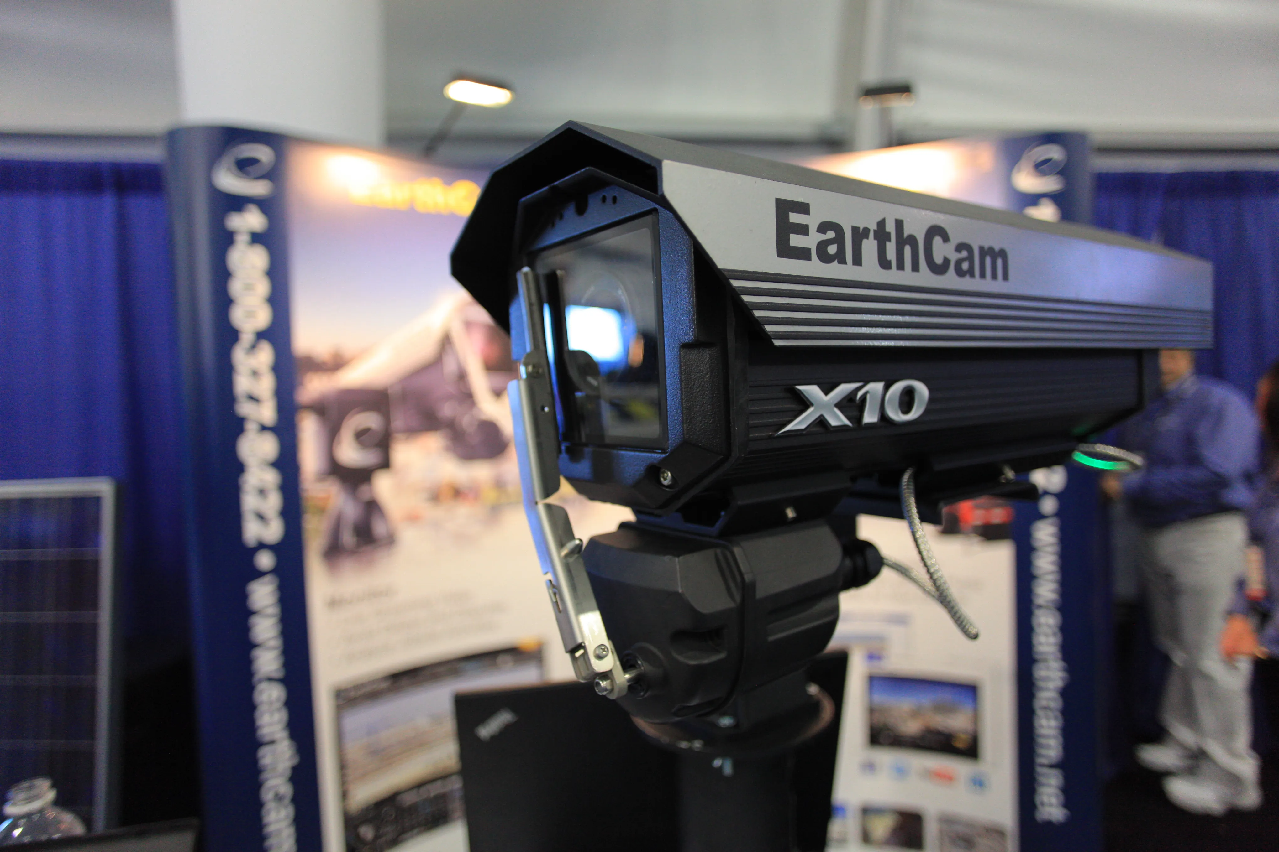
EarthCam and Procore provide live site streaming

Webcam content provider EarthCam has entered into a strategic relationship with cloud-based construction management software company Procore to deliver high quality live streaming video and imagery directly from construction projects around the world. The deal was announced at the CONEXPO-CON/AGG show, where EarthCam live-streamed images from the exhibition.
March 13, 2017 Read time: 1 min
EarthCam provides live streaming from the project, straight to Procore’s project management software

Webcam content provider 7653 EarthCam has entered into a strategic relationship with cloud-based construction management software company Procore to deliver high quality live streaming video and imagery directly from construction projects around the world. The deal was announced at the CONEXPO-CON/AGG show, where EarthCam live-streamed images from the exhibition.

Under the agreement, EarthCam’s images and video streams can be relayed and integrated directly into Procore project management software, allowing project managers to document in real-time progress on site. The video stream can also be used by clients to promote the project to customers and supporters.

For more information on companies in this article

Related Content

  • 10 billion pixel camera offered by EarthCam.net
    March 7, 2014
    To say the GigapixelCam X10 is a high-powered camera is an understatement. The camera, unveiled by EarthCam.net at Conexpo 2014, is capable of taking 10 billion pixel, 360º panoramic images. “We help monitor, document and promote,” said Brian Cury, CEO and founder of the company. The monitoring comes in the form of live-streaming video that can bring the job site to a desktop. The documenting is achieved through archiving photos throughout the process, should a dispute surface.
  • 10 billion pixel camera offered by EarthCam.net
    January 6, 2017
    To say the GigapixelCam X10 is a high-powered camera is an understatement. The camera, unveiled by EarthCam.net at Conexpo 2014, is capable of taking 10 billion pixel, 360º panoramic images. “We help monitor, document and promote,” said Brian Cury, CEO and founder of the company. The monitoring comes in the form of live-streaming video that can bring the job site to a desktop. The documenting is achieved through archiving photos throughout the process, should a dispute surface.
  • Latest GIS and software tools improve operations
    February 24, 2012
    Innovative GIS and software solutions are coming to market from the three key market players - Mike Woof reports Competition is strong in the field for GIS and surveying systems as well as the associated software. The three major players in the sector, Leica Geosystems, Topcon and Trimble, all invest heavily in research and development and continue to roll out new solutions for construction customers that will boost the efficiency of surveying as well as overall project implementation.
  • CONEXPO-CON/AGG 2017 planning for visitors
    January 6, 2017
    CONEXPO-CON/AGG and IFPE 2017 have released a new mobile app, powered by Caterpillar. This useful tool is designed to help attendees efficiently pre-plan their show visit and also stay connected onsite. The new CONEXPO-CON/AGG & IFPE show app is boosted by beacon technology and features interactive 3D contiguous maps to help attendees navigate the show floor. The show app continuously synchs to the online show planner where attendees can create a personalised agenda of exhibits, education and meetings, a