
Data recording

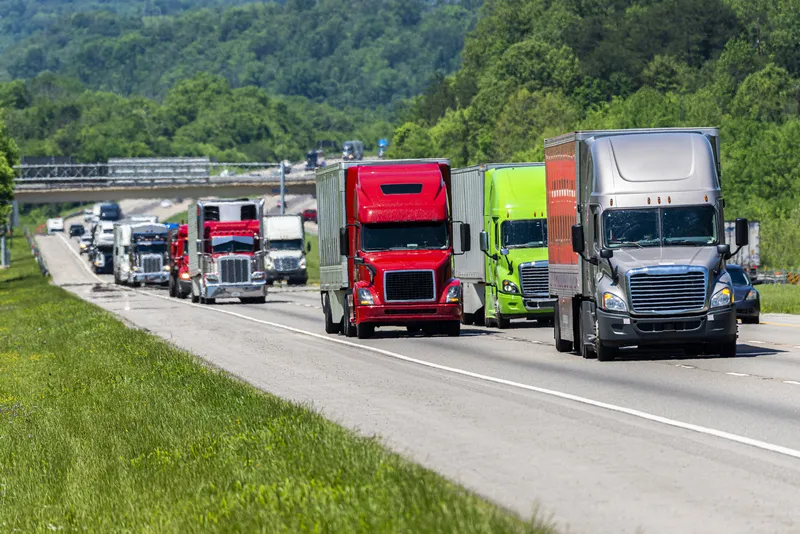
A sophisticated new non-intrusive radar classifier that measures traffic data is being offered by Quixote Transportation Technologies (QTT). Called the trans-Q, the device is portable and designed for non-contact measurement. Radar technology is used to detect traffic count, speed, and length. The package is said to offer an ideal alternative to data collation needs when other portable or permanent traffic sensors cannot be used because of location, safety or other regulations. The trans-Q classifier can be
September 3, 2012 Read time: 2 mins
RSSA sophisticated new non-intrusive radar classifier that measures traffic data is being offered by 2583 Quixote Transportation Technologies (QTT). Called the trans-Q, the device is portable and designed for non-contact measurement. Radar technology is used to detect traffic count, speed, and length. The package is said to offer an ideal alternative to data collation needs when other portable or permanent traffic sensors cannot be used because of location, safety or other regulations. The trans-Q classifier can be set up at the roadside using a hand operated device (PDA) and detects all passing vehicles in two directions, collating their length, speed and classification. Data can be retrieved using a PDA or standard wireless connection. It can provide high-resolution traffic data for vehicles travelling at speeds ranging from 3-199km/h, with a large memory that has sufficient storage for information on up to 1.2 million vehicles. It also has a rechargeable battery although a solar power option is available.

For more information on companies in this article

Related Content

  • Highway design software developments
    February 21, 2012
    New advanced software is being released for use by those involved in highway design as Adrian Greeman reports. The growing importance of BIM, building or project information modelling, as a design and construction process, and not just 3D modelling, is the driving force for the latest 2012 versions of Autodesk's comprehensive range of software for civil engineers. This is reflected in a new packaging of its various software tools into suites (along the lines of Microsoft's office suites) tailored to variou
  • Laser scanning focuses on asset management
    January 9, 2015
    Laser scanners and improved data collection and analysis software are making light of asset management surveying. David Arminas reports The age of the laser scanner is upon us, taking over from traditional manual methods of surveying, data collection and processing. These new technical developments are making it much easier to process and use the data captured and are providing highways engineers with powerful tools to record, map and visualise their assets. This is good news for highways authorities
  • Latest GIS and software tools improve operations
    February 24, 2012
    Innovative GIS and software solutions are coming to market from the three key market players - Mike Woof reports Competition is strong in the field for GIS and surveying systems as well as the associated software. The three major players in the sector, Leica Geosystems, Topcon and Trimble, all invest heavily in research and development and continue to roll out new solutions for construction customers that will boost the efficiency of surveying as well as overall project implementation.
  • WiM eases bridge health worries
    July 31, 2024
    Ageing road bridges are leading road authorities to consider the case for using weigh-in-motion - WiM - solutions to monitor the health of such infrastructure, writes Adam Hill.