Cloud-based solution from Leica Geosystems

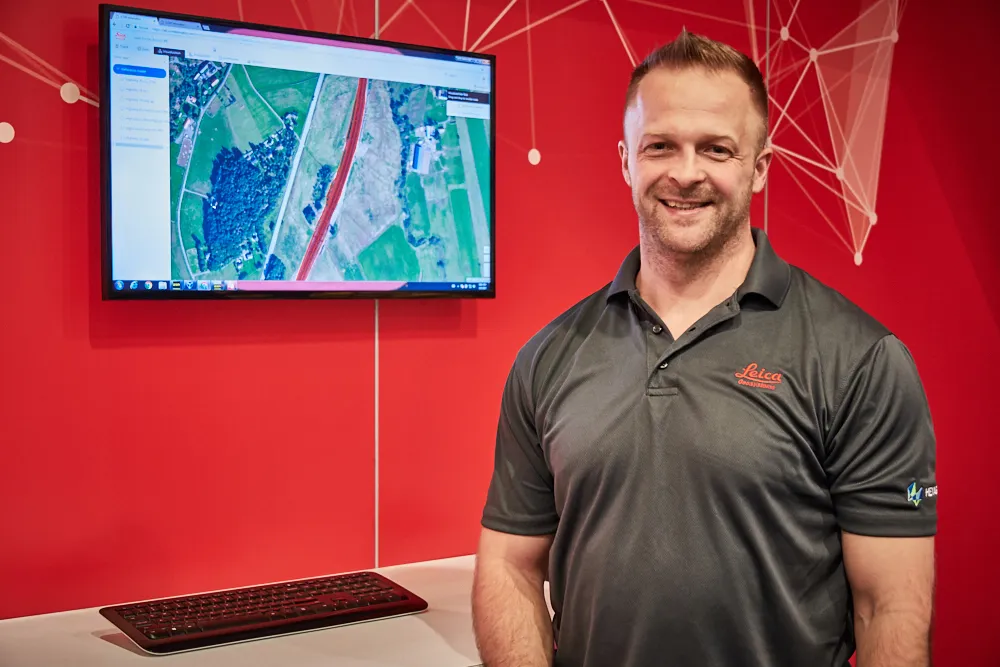
Leica Geosystems has released the new Leica ConX at CONEXPO-CONN/AGG. ConX is a cloud solution and web interface to seamlessly integrate, manage and analyse surveying and machine control workflows for heavy construction projects.
March 9, 2017 Read time: 2 mins
Doug Eggert Leica Geosystems product manager

265 Leica Geosystems has released the new Leica ConX at CONEXPO-CONN/AGG.

ConX is a cloud solution and web interface to seamlessly integrate, manage and analyse surveying and machine control workflows for heavy construction projects.

Personnel and machines on the jobsite need to share the same data and stay in sync with changes, so work can be carried out effectively, on time and budget. ConX allows users to share and visualise positioning, reference model and constructed data. Field and machine control solutions connected to ConX can remotely receive and share information, and the web interface for visualising the data is available anywhere with internet access.

ConX is designed to increase collaboration and simplify the data handling of machine control operations by integrating workflows, enabling remote control of connected machines and real-time data exchange from the office to the field and back. This cloud-enabled platform and web interface enables users to increase their efficiency on site and decrease their downtime while reducing the burden of data collection, aggregation and reporting.

“The digitisation of the construction industry is driving major improvements in productivity, data acquisition and job site safety,” said Doug Eggert, product manager at Leica Geosystems. “This can, however, bring practical issues of how to manage, share and analyse all of the data. We have developed ConX as a cloud solution to seamlessly manage 3D model, positioning, quality assurance and productivity data across the job site and bring it back to the office so field surveyors, machine operators, designers and project stakeholders can get the job done right with a little less stress.”

For more information on companies in this article

Related Content

  • Western Sydney Airport Bulk Earthworks
    November 7, 2023
    The massive Bulk Earthworks project, under development by the federal government-owned Western Sydney Airport (WSA), entails construction of an international airport on the western side of Sydney, Australia.
  • Sophisticated plotting
    February 7, 2012
    Leica Geosystems is offering its improved SpiderWeb v4.0 package as part of the new reference station software update. This improved suite of solutions also includes the GNSS Spider v4.0 and SpiderQC v4.0 packages.
  • Software tools aid construction, reduce costs
    February 28, 2012
    Integrated construction software offers an effective planning solution - *Mark Nichols writes. In a world where resources are limited, 20 year designing and building in a sustainable way is more critical than ever. By employing today's software tools it is possible to reduce the total cost of construction of a new highway, while reducing operating costs and environmental impacts. The path to achieving the greatest gains is to take a holistic approach to the plan, design, construct and operate process from t
  • Accurate positioning with Leica Geosystems
    June 19, 2017
    The new Zeno GG04 smart antenna from Leica Geosystems is said to increase access to GIS and boost tracking performance. This is said to deliver a versatile solution that can improve the accuracy of GNSS mobile devices with real-time Kinematic (RTK) and precise point positioning (PPP). Paired with the Zeno GG04, any Zeno or third party mobile device with Android or Windows OS can now collect precise positioning data with Leica Geosystems’ GNSS technology and 555-channel tracking performance. With PPP, users