Cloud-based solution from Leica Geosystems

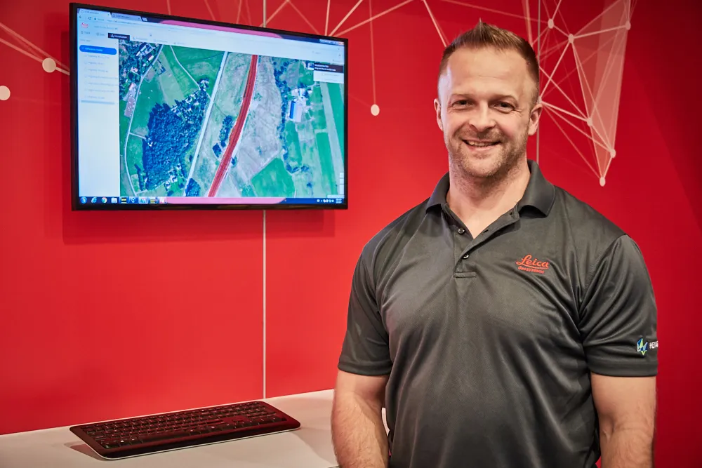
Leica Geosystems has released the new Leica ConX at CONEXPO-CONN/AGG. ConX is a cloud solution and web interface to seamlessly integrate, manage and analyse surveying and machine control workflows for heavy construction projects.
March 9, 2017 Read time: 2 mins
Doug Eggert Leica Geosystems product manager

265 Leica Geosystems has released the new Leica ConX at CONEXPO-CONN/AGG.

ConX is a cloud solution and web interface to seamlessly integrate, manage and analyse surveying and machine control workflows for heavy construction projects.

Personnel and machines on the jobsite need to share the same data and stay in sync with changes, so work can be carried out effectively, on time and budget. ConX allows users to share and visualise positioning, reference model and constructed data. Field and machine control solutions connected to ConX can remotely receive and share information, and the web interface for visualising the data is available anywhere with internet access.

ConX is designed to increase collaboration and simplify the data handling of machine control operations by integrating workflows, enabling remote control of connected machines and real-time data exchange from the office to the field and back. This cloud-enabled platform and web interface enables users to increase their efficiency on site and decrease their downtime while reducing the burden of data collection, aggregation and reporting.

“The digitisation of the construction industry is driving major improvements in productivity, data acquisition and job site safety,” said Doug Eggert, product manager at Leica Geosystems. “This can, however, bring practical issues of how to manage, share and analyse all of the data. We have developed ConX as a cloud solution to seamlessly manage 3D model, positioning, quality assurance and productivity data across the job site and bring it back to the office so field surveyors, machine operators, designers and project stakeholders can get the job done right with a little less stress.”

For more information on companies in this article

Related Content

  • Machine control technology round table discussion with Leica Geosystems, Topcon and Trimble
    January 4, 2022
    In this, the first in a series of top-level roundtable discussions led by World Highways, editor Mike Woof and editorial director Geoff Hadwick talk machine control technology with three world-class experts from Leica Geosystems, part of Hexagon, Topcon and Trimble. Find out what these key opinion leaders are thinking on six vitally important topics. Let them help you stay ahead of the game.
  • Cultivate better on-site safety awareness by leveraging technology with Leica Geosystems
    August 10, 2023
    When a vital fiber-optic cable was cut during construction work in Germany, the impact was huge. There were telecom disruptions affecting the greater Frankfurt area, all departures and landings at Frankfurt Airport were suspended, and Lufthansa’s global IT system crashed. Leica Geosystems says it is vital to put in place “strategies to protect people, equipment, and assets… and to emphasise the crucial role digital solutions play in ensuring safety.”
  • In control, with advanced technology
    August 15, 2019
    Machine control technology continues to advance, with new systems offering contractors major gains in working efficiency The latest developments in machine control technology once again push the bar in terms of advancements. The latest systems allow contractors to work even more effectively and efficiently than before. Doosan has unveiled one of the first uses globally of 5G technology to remotely control construction and quarrying machines. The firm has coined the term ‘TeleOperation’ to describe the
  • Optimising operations with construction software gains
    May 20, 2015
    Innovations in construction software are helping boost project efficiency and optimising project operations – Clive Davidson writes Over the past decade, while construction engineers have been putting up buildings or infrastructure, software engineers have been developing a parallel universe where virtual buildings or infrastructure can be created in ever increasing detail. What started with 2D architectural drawings in computer-aided design (CAD) systems, has become a multi-dimensional world, with 3D ge