Cloud-based solution from Leica Geosystems

Leica Geosystems has released the new Leica ConX at CONEXPO-CONN/AGG. ConX is a cloud solution and web interface to seamlessly integrate, manage and analyse surveying and machine control workflows for heavy construction projects.
March 9, 2017 Read time: 2 mins
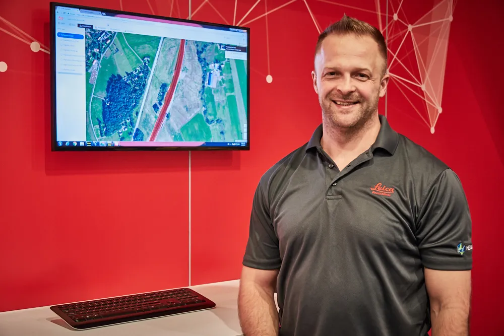
Doug Eggert Leica Geosystems product manager

265 Leica Geosystems has released the new Leica ConX at CONEXPO-CONN/AGG.

ConX is a cloud solution and web interface to seamlessly integrate, manage and analyse surveying and machine control workflows for heavy construction projects.

Personnel and machines on the jobsite need to share the same data and stay in sync with changes, so work can be carried out effectively, on time and budget. ConX allows users to share and visualise positioning, reference model and constructed data. Field and machine control solutions connected to ConX can remotely receive and share information, and the web interface for visualising the data is available anywhere with internet access.

ConX is designed to increase collaboration and simplify the data handling of machine control operations by integrating workflows, enabling remote control of connected machines and real-time data exchange from the office to the field and back. This cloud-enabled platform and web interface enables users to increase their efficiency on site and decrease their downtime while reducing the burden of data collection, aggregation and reporting.

“The digitisation of the construction industry is driving major improvements in productivity, data acquisition and job site safety,” said Doug Eggert, product manager at Leica Geosystems. “This can, however, bring practical issues of how to manage, share and analyse all of the data. We have developed ConX as a cloud solution to seamlessly manage 3D model, positioning, quality assurance and productivity data across the job site and bring it back to the office so field surveyors, machine operators, designers and project stakeholders can get the job done right with a little less stress.”

For more information on companies in this article

Related Content

  • Sophisticated paving technology
    March 22, 2021
    Trimble is introducing its sophisticated Roadworks 3D Paving Control Platform for Asphalt Pavers.
  • Trimble technology centre stage at CONEXPO-CON/AGG 2014
    March 27, 2014
    The Trimble Quantm alignment planning system, on show at CONEXPO/CON-AGG 2014, allows road designers to cut planning time and deliver projects with little environmental and social impact at a reduced cost. The system analyses millions of alignment alternatives and returns a range of options to the planning team for consideration. When new data becomes available the Quantm system can quickly recalculate more alignment options.
  • Trimble Dimensions 2012 exhibits revolutionising construction technology
    December 14, 2012
    More than 3,500 visitors from 80 countries attending Trimble Dimensions 2012 gained a vital insight into how information technology is revolutionising working practises in, among other fields, heavy civil construction, building construction, surveying, mapping and GIS, and transport and logistics Guy Woodford was among those attending the three-day event at The Mirage hotel in Las Vegas, USA Themed Transform the Way the World Works, Trimble Dimensions 2012 had new hardware and software launches aplenty, as
  • Excavator guidance system from Leica Geosystems
    March 12, 2018
    Leica Geosystems is now offering a new iCON iXE solution aimed at boosting the versatility of excavators. The package allows the tilt function on a tilt rotator to be handled automatically, increasing versatility and accuracy. This new package can be used on excavators equipped with 2D or 3D excavator guidance solutions from Leica Geosystems and tilt rotators supported by SVAB Quantum. The iXE CoPilot package means that the tilt will automatically be adjusted so it is held parallel to the surface as the o