Cloud-based solution from Leica Geosystems

Leica Geosystems has released the new Leica ConX at CONEXPO-CONN/AGG. ConX is a cloud solution and web interface to seamlessly integrate, manage and analyse surveying and machine control workflows for heavy construction projects.
March 9, 2017 Read time: 2 mins
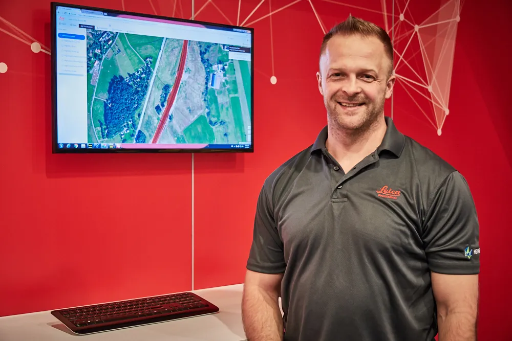
Doug Eggert Leica Geosystems product manager

265 Leica Geosystems has released the new Leica ConX at CONEXPO-CONN/AGG.

ConX is a cloud solution and web interface to seamlessly integrate, manage and analyse surveying and machine control workflows for heavy construction projects.

Personnel and machines on the jobsite need to share the same data and stay in sync with changes, so work can be carried out effectively, on time and budget. ConX allows users to share and visualise positioning, reference model and constructed data. Field and machine control solutions connected to ConX can remotely receive and share information, and the web interface for visualising the data is available anywhere with internet access.

ConX is designed to increase collaboration and simplify the data handling of machine control operations by integrating workflows, enabling remote control of connected machines and real-time data exchange from the office to the field and back. This cloud-enabled platform and web interface enables users to increase their efficiency on site and decrease their downtime while reducing the burden of data collection, aggregation and reporting.

“The digitisation of the construction industry is driving major improvements in productivity, data acquisition and job site safety,” said Doug Eggert, product manager at Leica Geosystems. “This can, however, bring practical issues of how to manage, share and analyse all of the data. We have developed ConX as a cloud solution to seamlessly manage 3D model, positioning, quality assurance and productivity data across the job site and bring it back to the office so field surveyors, machine operators, designers and project stakeholders can get the job done right with a little less stress.”

For more information on companies in this article

Related Content

  • Machine Control sector is the place for acquisitions
    January 22, 2014
    The machine control sector has been lively in recent months with a major acquisition, the unveiling of new software innovation and landmark testing of new technology to monitor paving temperature. Guy Woodford reports The state road construction authority in the German state of Saxony-Anhalt (LSBB Saxony-Anhalt) has become the first nationally to test MOBA’s new PAVE-IR Scan temperature measurement system at a works site.
  • Mobile mapping innovation
    June 1, 2022
    There are millions of kilometres of roads and features that need to be mapped in today’s world. We see a strong vision and application for the future, therefore Leica Geosystems, part of Hexagon, recently announced the introduction of the reality capture mobile mapping system Leica Pegasus TRK, introducing artificial intelligence, autonomous workflows and intuitive interfaces. This technology goes beyond the capabilities of what’s already been done, making it the perfect companion for today’s mobile mapping requirements.
  • InEight puts project software suite in the cloud
    March 13, 2017
    InEight announced that its Project Suite software will now operate in a cloud environment at CONEXPO-CON/AGG. InEight Project Suite will accept models from any design package and includes modules for estimation, contract management, planning, budget control and inspection. It enables all elements of a project – and the people involved – to be connected in an integrated environment.
  • Site safety system benefit
    September 14, 2022
    Leica Geosystems says that its new safety awareness module can reduce risks on working construction sites. The Leica ConX Safety Awareness Module forms part of the firm’s Leica ConX cloud solution. According to the company, the integration of Leica Geosystems’ safety awareness solutions with ConX increases safety on construction sites by collecting and visualising data that improves awareness, speeds up hazard response and provides better insights.