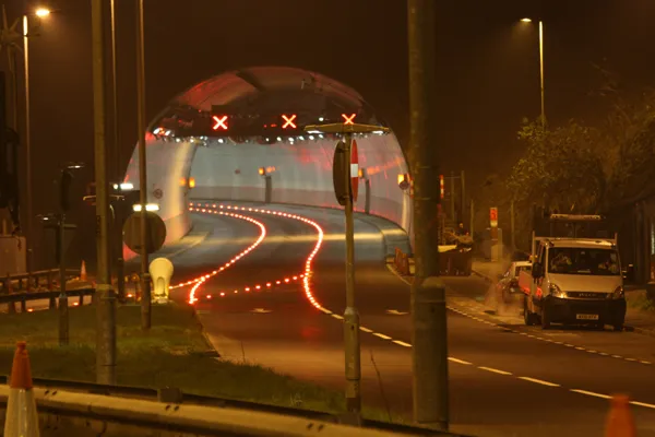
Two drivers in Alaska caused some concern to aviation movements by following directions from Apple Maps. The drivers first crossed the taxiway and then the runway at Fairbanks Airport. How they were able to enter the supposedly secure airport however has not been revealed and nor have their IQ ratings. The drivers ignored numerous signposts and painted markings saying that the area they were entering was restricted to aircraft and not for road vehicles. The airport authorities erected barriers until the map
Two drivers in Alaska caused some concern to aviation movements by following directions from Apple Maps. The drivers first crossed the taxiway and then the runway at Fairbanks Airport. How they were able to enter the supposedly secure airport however has not been revealed and nor have their IQ ratings. The drivers ignored numerous signposts and painted markings saying that the area they were entering was restricted to aircraft and not for road vehicles. The airport authorities erected barriers until the maps could be corrected.
This is one of a series of blunders in the Apple Maps function. Drivers in Ireland looking for Dublin Airport were for a time directed to a farm called Airfield, some 17km from their proper destination. Meanwhile in Victoria, Australia, police at one point criticised inaccurate directions to the town of Mildura as being potentially life threatening. Apple customers could take note that old-fashioned maps are able to operate faultlessly without the need for either an electrical supply or a GSM signal and do not have issues with battery life. Meanwhile also in the US, the pilot of a light aircraft caused some disturbance to motorists when he had to make an emergency landing on a highway in Florida.
The engine of his aircraft began to fail and the pilot realised he was not going to be able to reach the nearest airstrip. He immediately began looking for the nearest stretch of straight road and managed to land the historic aircraft on State Road 415 without injury, although he did cause some traffic disturbance.