Advanced GNSS capabilities with Topcon

April 9, 2025 Read time: 1 min
Topcon’s new GNSS tools offers more capabilities for users

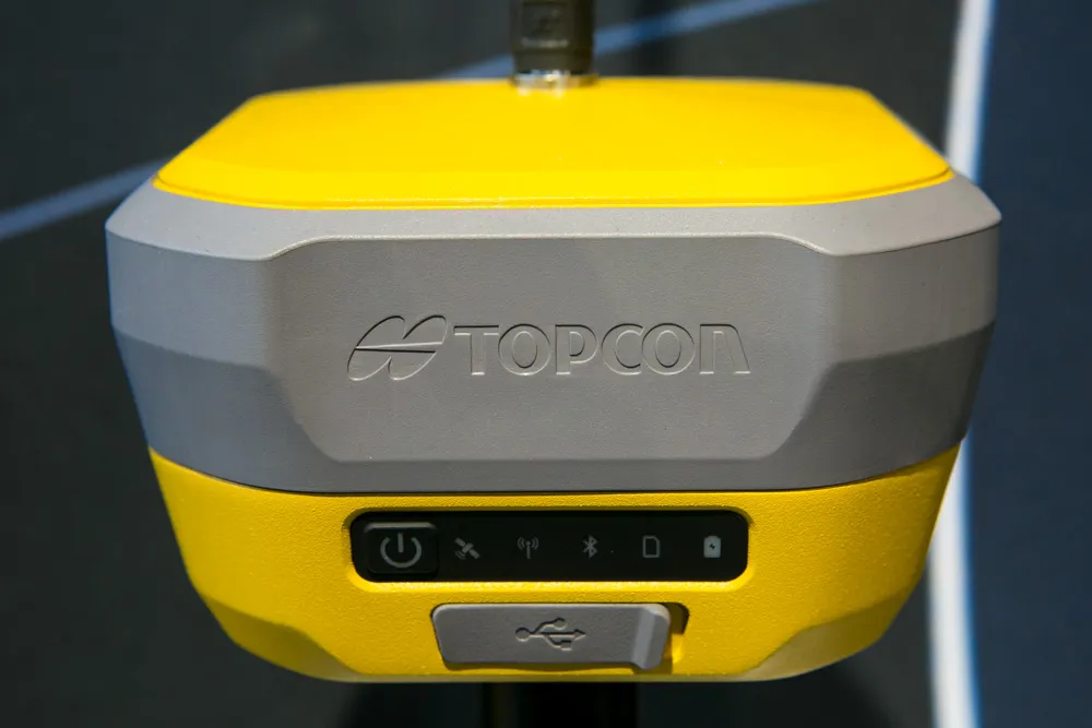
Topcon Positioning says that its new HiPer XR offers more capabilities for GNSS duties. The HiPer receivers suit duties in survey applications, including engineering design, and cadastral projects. These versatile tools can also be used for construction site layout/stakeout, grade checking, and material volume calculations. HiPer receivers can also be paired with robotic total stations for Hybrid Positioning

The tools allow users to measure building edges without using an offset, or stretch to otherwise out-of-reach points using Topcon Integrated Levelling Technology (TILT). This novel technology allows the HiPer XR, HR and VR receivers to compensate for rods that are not exactly vertical. The latest version allows for a told of 60°. New features include the unit being calibration-free and the inclusion of a magnetic interference immune IMU system.

For more information on companies in this article

Related Content

  • Leica Geosystems develops machine control
    November 29, 2012
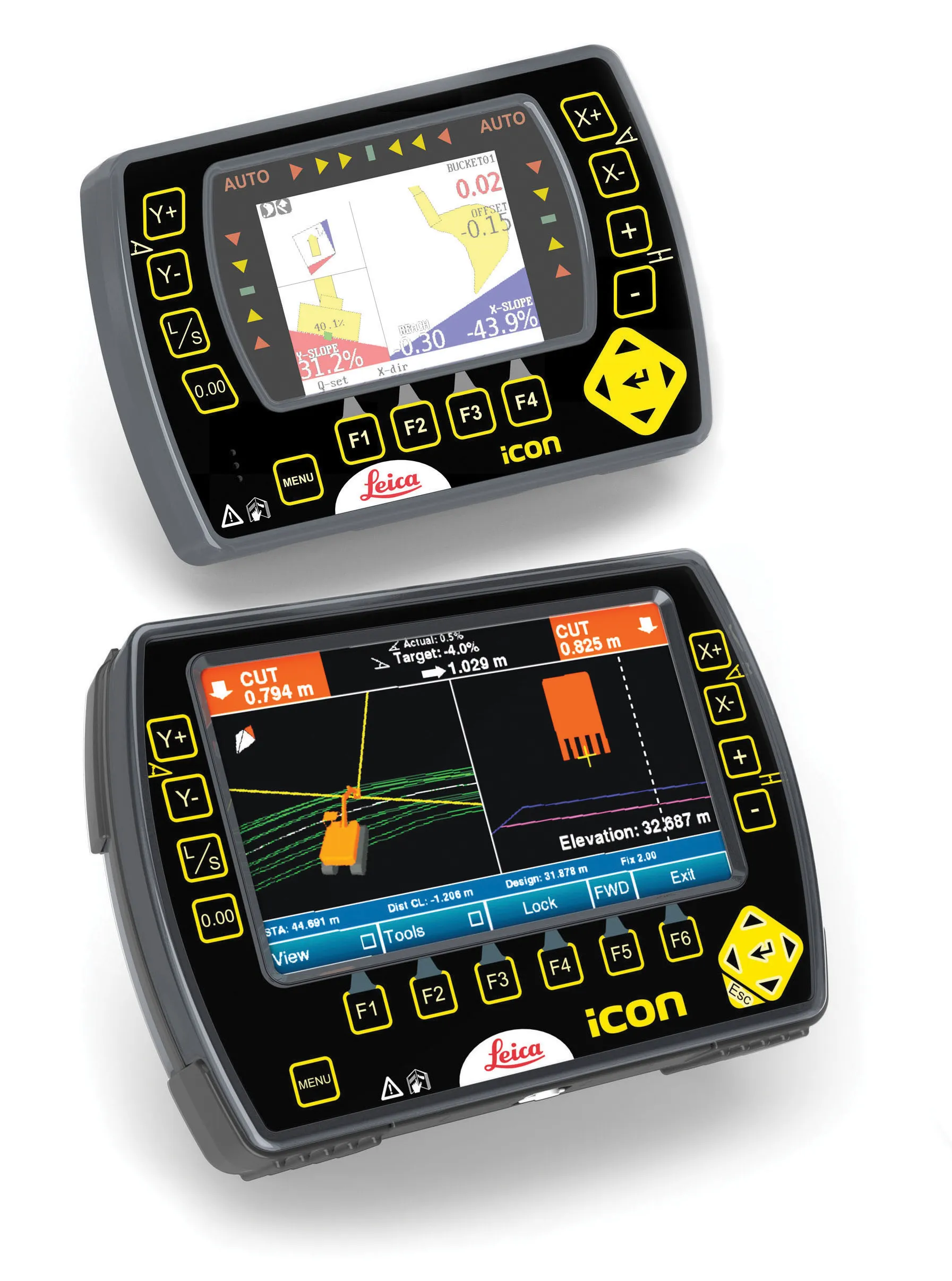
    An array of sophisticated machine control and surveying tools are coming to market from Leica Geosystems. One of the key developments is an addition to its iCON range in the form of its iCONtrol package. The firm says that this offers contractors a portfolio of powerful machine control solutions that can communicate with iCONstruct sensors on site and the iCON office software. This customisable and versatile solution suits use in grading and excavating segment and can be used as a control system for constru
  • Rapid adoption of GPS machine control
    April 5, 2012
    The high sophistication of GPS machine control systems has resulted in a fast pace of technological advancement. The three major players in the machine control sector, Leica Geosystems, Topcon and Trimble have all made major gains in recent years. The sophistication of the latest systems can combine satellite position data from the GPS and GLONASS networks with information from total stations to provide precise, high speed machine operation. Further more the firms have also prepared themselves for the intro
  • Wider range of survey software functionality
    February 9, 2012
    Leica Geosystems is offering a broad spread of new packages and hardware that will deliver improved performance to users. The firmware 2.0 product is said to add powerful new capabilities to the Leica ScanStation C10, the industry's most popular 3D laser scanner for as-built and topographic surveys. This further increases the productivity and versatility of the fully integrated, cable-less ScanStation C10. A new Setup facility lets users take advantage of known survey points and backsighting, while remote,
  • Machine control developments from Leica Geosystems, Topcon, Trimble and Wirtgen in the slipforming sector
    July 1, 2013
    Machine control technologies were pioneered in the concrete paving sector with systems having been used for over 10 years. Leica Geosystems was the first of the machine control technology suppliers to offer these systems on concrete slipforming machines and has developed a strong position in this segment. However the company met resistance from some quarters in the construction market and specialist Karl Soar said that some contractors were very reluctant to give up using conventional stringlines. He said,