Advanced GNSS capabilities with Topcon

April 9, 2025 Read time: 1 min
Topcon’s new GNSS tools offers more capabilities for users

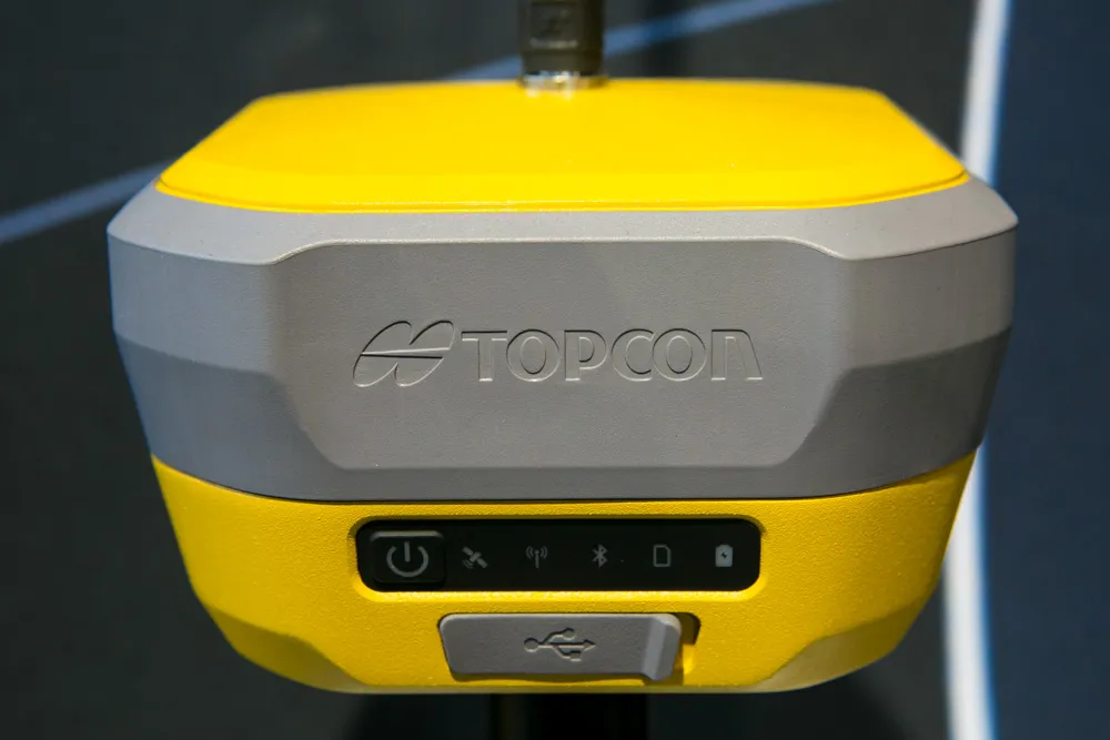
Topcon Positioning says that its new HiPer XR offers more capabilities for GNSS duties. The HiPer receivers suit duties in survey applications, including engineering design, and cadastral projects. These versatile tools can also be used for construction site layout/stakeout, grade checking, and material volume calculations. HiPer receivers can also be paired with robotic total stations for Hybrid Positioning

The tools allow users to measure building edges without using an offset, or stretch to otherwise out-of-reach points using Topcon Integrated Levelling Technology (TILT). This novel technology allows the HiPer XR, HR and VR receivers to compensate for rods that are not exactly vertical. The latest version allows for a told of 60°. New features include the unit being calibration-free and the inclusion of a magnetic interference immune IMU system.

For more information on companies in this article

Related Content

  • Latest innovations in GPS and machine control
    February 22, 2012
    Modern satellite technology is making life easier for everyone on the construction site and in the office. Most major equipment manufacturers are now integrating GPS machine control systems into the design of excavators, bulldozers, pavers, and motor graders. For stake-less work it is a major component for automatic grading, surveying, and excavating systems, with contractors and construction companies using GPS machine control systems to improve operations.
  • Machine control advances from key suppliers
    May 21, 2018
    The leading suppliers of machine control technology are now offering advanced new solutions for customers – Mike Woof writes. Important developments in machine control technologies are now coming to market. The major suppliers are making major advances to offer new solutions for customers, which can help boost accuracy while reducing the time needed to carry out a project, as well as minimising the need for reworking. From Topcon Positioning Group comes a sophisticated 3D machine control package that the fi
  • Sophisticated scanning from Topcon
    August 13, 2019
    Topcon Positioning Group is introducing a new generation of scanning robotic total stations. The firm’s new the GTL-1000 is a compact scanner integrated with a fully featured robotic total station. The firm says that the system is designed to offer a powerful instrument for single-operator layout and scan on a single set up. Combined with the ClearEdge3D Verity package, it offers effective construction verification workflows. The instrument includes a complete robotic total station with layout functionalit
  • Laser scanning focuses on asset management
    January 9, 2015
    Laser scanners and improved data collection and analysis software are making light of asset management surveying. David Arminas reports The age of the laser scanner is upon us, taking over from traditional manual methods of surveying, data collection and processing. These new technical developments are making it much easier to process and use the data captured and are providing highways engineers with powerful tools to record, map and visualise their assets. This is good news for highways authorities