Advanced GNSS capabilities with Topcon

April 9, 2025 Read time: 1 min
Topcon’s new GNSS tools offers more capabilities for users

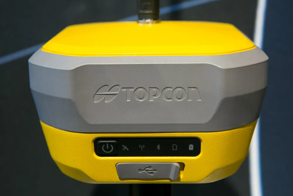
Topcon Positioning says that its new HiPer XR offers more capabilities for GNSS duties. The HiPer receivers suit duties in survey applications, including engineering design, and cadastral projects. These versatile tools can also be used for construction site layout/stakeout, grade checking, and material volume calculations. HiPer receivers can also be paired with robotic total stations for Hybrid Positioning

The tools allow users to measure building edges without using an offset, or stretch to otherwise out-of-reach points using Topcon Integrated Levelling Technology (TILT). This novel technology allows the HiPer XR, HR and VR receivers to compensate for rods that are not exactly vertical. The latest version allows for a told of 60°. New features include the unit being calibration-free and the inclusion of a magnetic interference immune IMU system.

For more information on companies in this article

Related Content

  • Aggregates advantages with new equipment
    November 4, 2019
    New equipment being introduced for the crushing and screening sector offers benefits for aggregate production – Mike Woof writes
  • Surfacing options for road construction
    June 24, 2020
    Other options exist for road surfacing and repair work that can prove cost-effective in the right application
  • Asphalt paving design advances
    June 15, 2012
    A diverse array of advanced paver designs is now being offered in the asphalt paving sector – Mike Woof reports With the World of Asphalt and INTERMAT 2012 events having both taken place in recent months, a series of innovations have been introduced for the asphalt paving market. Developments have come to market that widen the array of both US and European asphalt paving systems and all the major manufacturers have developed new pavers and materials feeders to meet the latest emissions requirements. Demand
  • From Topcon comes a sophisticated mapping system
    January 6, 2017
    Topcon Europe Positioning says that its new IP-S2 Compact+ package is an innovative mobile mapping system that can accurately measure objects even in adverse weather conditions and enclosed job sites such as tunnels and mines. This replaces the earlier Topcon’s IP-S2 system, launched in 2009. The new vehicle-mounted system has improved scanner orientation to optimise visibility of roadside assets and is packaged in an affordable, compact system that fits on a car or truck. It offers full-colour, high-resolu