Advanced GNSS capabilities with Topcon

April 9, 2025 Read time: 1 min
Topcon’s new GNSS tools offers more capabilities for users

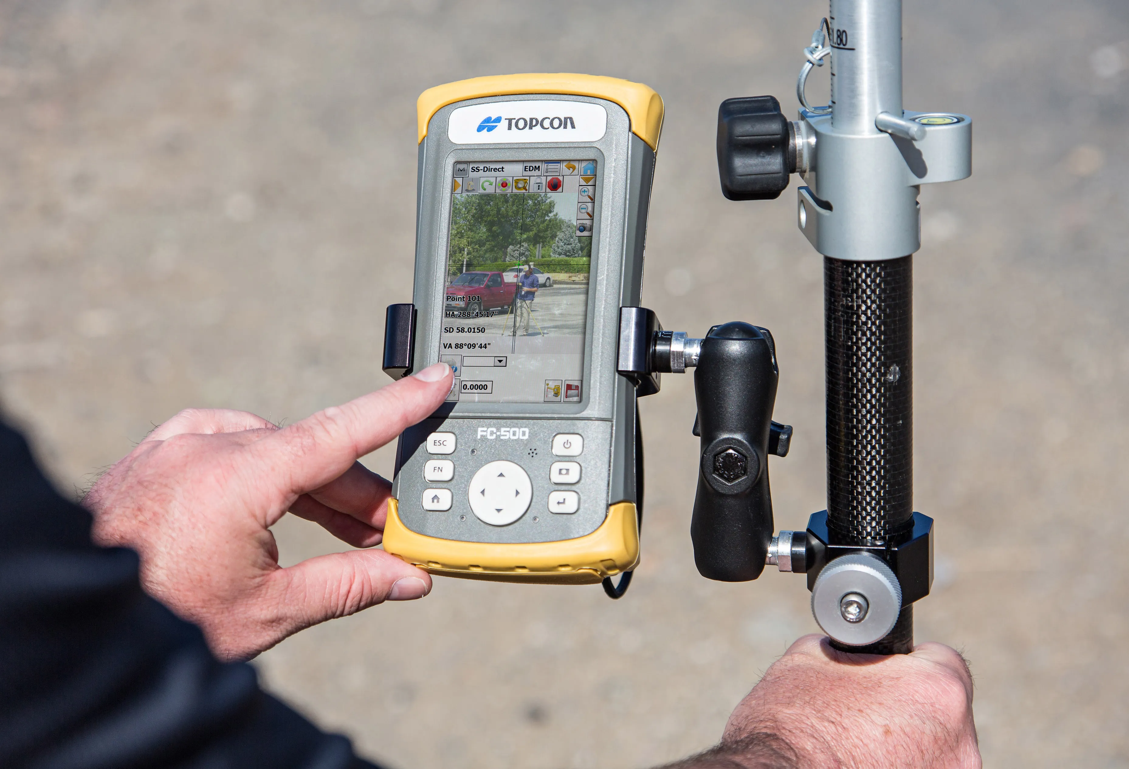
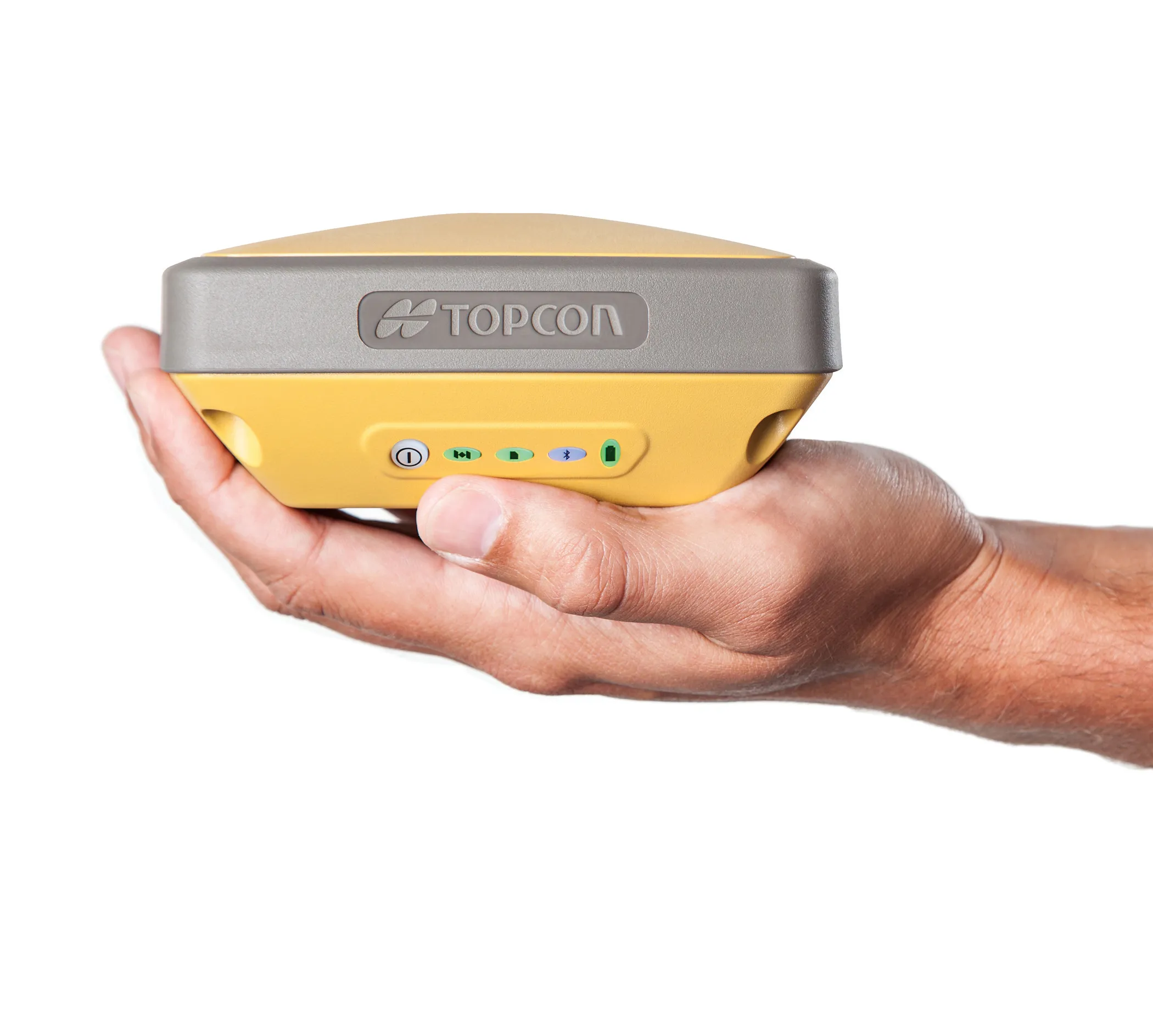
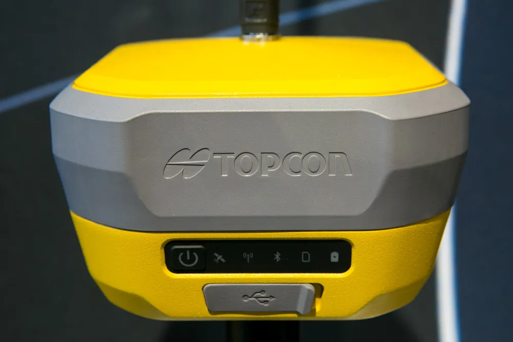
Topcon Positioning says that its new HiPer XR offers more capabilities for GNSS duties. The HiPer receivers suit duties in survey applications, including engineering design, and cadastral projects. These versatile tools can also be used for construction site layout/stakeout, grade checking, and material volume calculations. HiPer receivers can also be paired with robotic total stations for Hybrid Positioning

The tools allow users to measure building edges without using an offset, or stretch to otherwise out-of-reach points using Topcon Integrated Levelling Technology (TILT). This novel technology allows the HiPer XR, HR and VR receivers to compensate for rods that are not exactly vertical. The latest version allows for a told of 60°. New features include the unit being calibration-free and the inclusion of a magnetic interference immune IMU system.

For more information on companies in this article

Related Content

  • Topcon’s new total station offers increased imaging duties
    January 6, 2017
    A powerful new geodetic reference receiver from Topcon is said to offer improved performance over earlier versions. This new motorised total station now comes with the addition of imaging capability. The DS-200i is said to offer real-time, touch-screen video and photo imaging to capture measured positions. It is equipped with a 5MP camera. The firm says that equipped with its MAGNET software, the tool has an intuitive interface to assist when staking out complex structures. The DS-200i has been designed so
  • Topcon’s new total station offers increased imaging duties
    February 2, 2015
    A powerful new geodetic reference receiver from Topcon is said to offer improved performance over earlier versions. This new motorised total station now comes with the addition of imaging capability. The DS-200i is said to offer real-time, touch-screen video and photo imaging to capture measured positions. It is equipped with a 5MP camera. The firm says that equipped with its MAGNET software, the tool has an intuitive interface to assist when staking out complex structures. The DS-200i has been designed so
  • GPS guidance delivers accurate machine control
    July 12, 2012
    GPS systems for machine control can make massive reductions in operating costs for contractors. Using GPS systems for machine control can make massive reductions in operating costs for contractors and the pace of technology improvements from manufacturers has been rapid. This market segment is dominated by Leica Geosystems, Trimble and Topcon, all of which introduced an array of new products earlier this year. Topcon's dozer control system first seen in public at the Intermat show in Paris, offers notable c
  • Positioning tools from Topcon
    November 15, 2012
    Topcon is offering an array of new tools that can improve surveying and machine control capabilities for contractors. Light and compact, the B110 dual-frequency positioning receiver board features the new Vanguard ASIC system and can support 226 universal channels for GPS, GLONASS and Galileo tracking and scalable positioning. The B110 board’s small size, low power consumption and versatile communication interfaces make it easy to integrate into any precise positioning application. It features a high perfor