Advanced GNSS capabilities with Topcon

April 9, 2025 Read time: 1 min
Topcon’s new GNSS tools offers more capabilities for users

Topcon Positioning says that its new HiPer XR offers more capabilities for GNSS duties. The HiPer receivers suit duties in survey applications, including engineering design, and cadastral projects. These versatile tools can also be used for construction site layout/stakeout, grade checking, and material volume calculations. HiPer receivers can also be paired with robotic total stations for Hybrid Positioning

The tools allow users to measure building edges without using an offset, or stretch to otherwise out-of-reach points using Topcon Integrated Levelling Technology (TILT). This novel technology allows the HiPer XR, HR and VR receivers to compensate for rods that are not exactly vertical. The latest version allows for a told of 60°. New features include the unit being calibration-free and the inclusion of a magnetic interference immune IMU system.

For more information on companies in this article

Related Content

  • High quality paving has been achieved at the Silverstone race track
    April 6, 2020
    Contractor Tarmac helped provide a high-quality surface for the UK’s famous Silverstone F1 racetrack, with the help of sophisticated technology from Topcon Positioning and Volz Consulting
  • Topcon expanding through acquisition
    April 30, 2018
    Topcon Positioning Group is expanding its portfolio with the acquisition of Viasys VDC, a Finnish infrastructure construction software development company. The purchase is intended to strengthen Topcon’s software development expertise. This will support delivery of advanced Topcon virtual design and construction solutions with BIM interoperability. Topcon has now acquired all the outstanding shares of Viasys VDC after having bought a significant percentage of its holdings in early 2016. Jason Hallett, VP of
  • Advanced surveying
    February 9, 2012
    Personnel using Spectra Precision FOCUS solutions can now benefit from a more robust set of tools. This field software provides a wide array of tools to cope with an array of survey and construction projects. One key new feature is the LandXML Road support for laying out engineering and road profile elements, as this can improve dataflow and efficiency on site. In addition, external data streaming for the output of measurement and positional data from Survey Pro in an XML output means that data can be adapt
  • Concrete paving for key Interstate link in South Carolina
    November 15, 2013
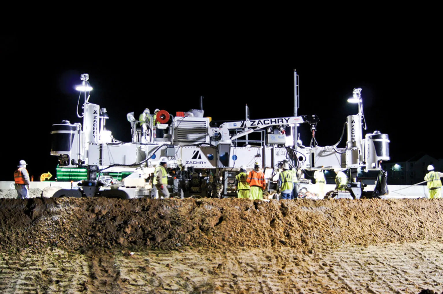
    Concrete paving is being carried out on a key section of Interstate 20, close to the US city of Colombia in South Carolina Contractor Zachry Construction has had success using its Guntert & Zimmerman concrete slipformer for an Interstate paving project in South Carolina. The firm has been using the machine on the US$64 million project to resurface a section of Interstate 20, close to the city of Columbia.