Accurate utilities detection

By MJ Woof November 26, 2024 Read time: 1 min
Utility works can be carried out more efficiently using new capabilities offered jointly by Trimble and Radiodetection

Trimble and Radiodetection are collaborating to improve the technology used in the utility measurement and mapping process. Integrating the Trimble Catalyst DA2 GNSS system and Radiodetection’s RD MapTM+ application and precision locator products helps to streamline utility-locating workflows to provide accurate measurement capabilities and generate underground utilities maps in a single field operation.

When using conventional technology, field technicians mark their measurements onsite or rely on data entries to provide to office staff for map creation after a site visit. However, data collected with the Trimble Catalyst DA2 GNSS system can now be simultaneously synchronised with Radiodetection RD Map+ and precision locators that find and mark buried utilities. By streamlining this connection, workers can digitise utility-line locations and reduce reporting errors. 

“Accurate geolocation is critical to the operation and maintenance of underground utilities and public infrastructure,” said Stephanie Michaud, strategic marketing manager, Trimble Surveying & Mapping Field Solutions. “By adding survey-grade capabilities to existing utility workflows, this collaboration creates a connected solution that provides confidence and reliability during the data capture process.”

The combined technologies provide accurate data for construction firms to work from, assisting with the establishment of dependable digital twins.




For more information on companies in this article

Related Content

  • Smart infrastructure asset maintenance using AI
    March 31, 2020
    Smart infrastructure asset maintenance can be achieved using AI.
  • Remote surveying and scanning
    January 18, 2022
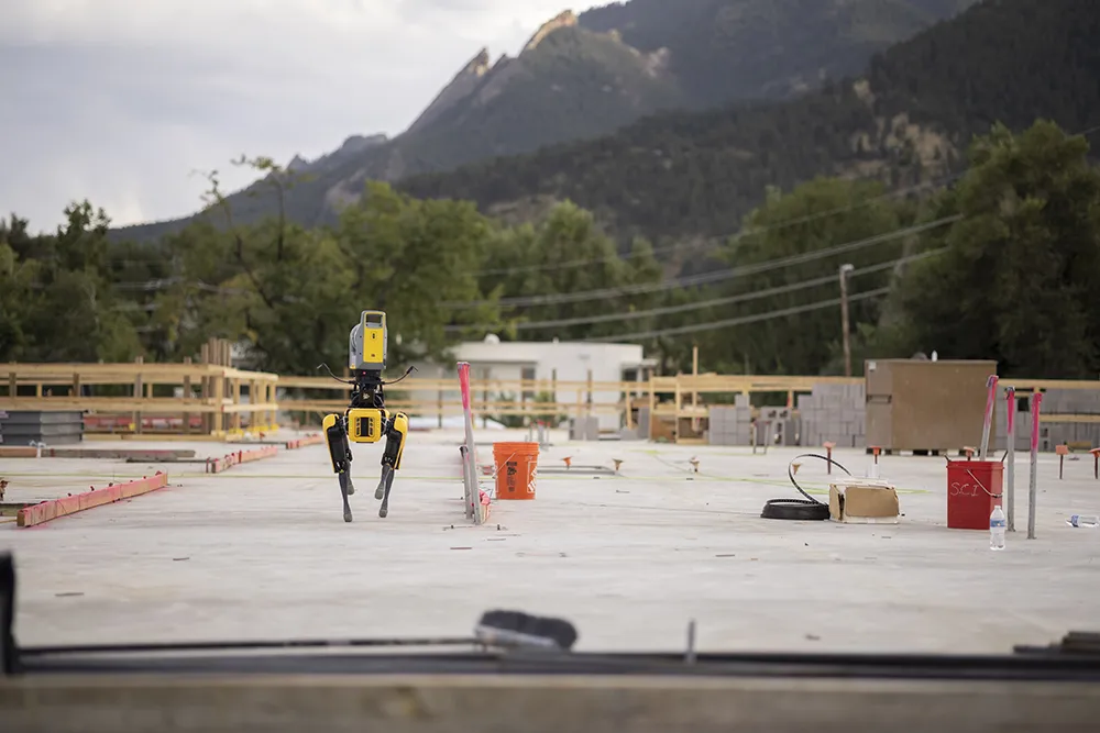
    Remote surveying and scanning can be achieved using the autonomous robotic system available from Trimble. The package combines the Spot robot autonomous rover unit with the Trimble X7 3D laser scanner and Trimble FieldLink software.
  • Go-faster road inspections with a GoPro
    November 29, 2023
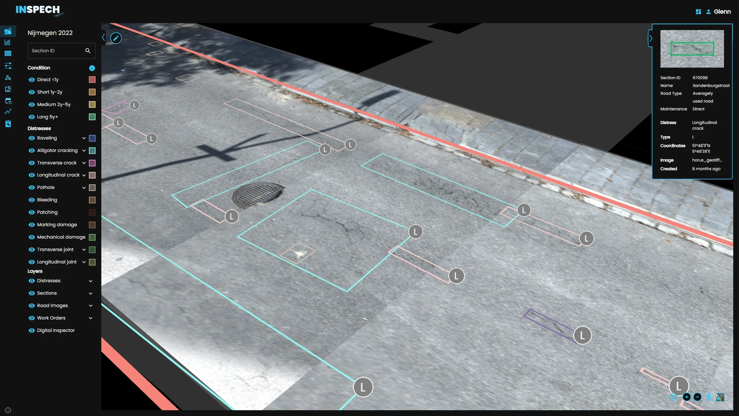
    BrainCreators has launched in the UK a cost-conscious “pro” edition of its road inspection system called INSPECH.
  • Airware acquires drone data analytics provider Redbird
    September 23, 2016
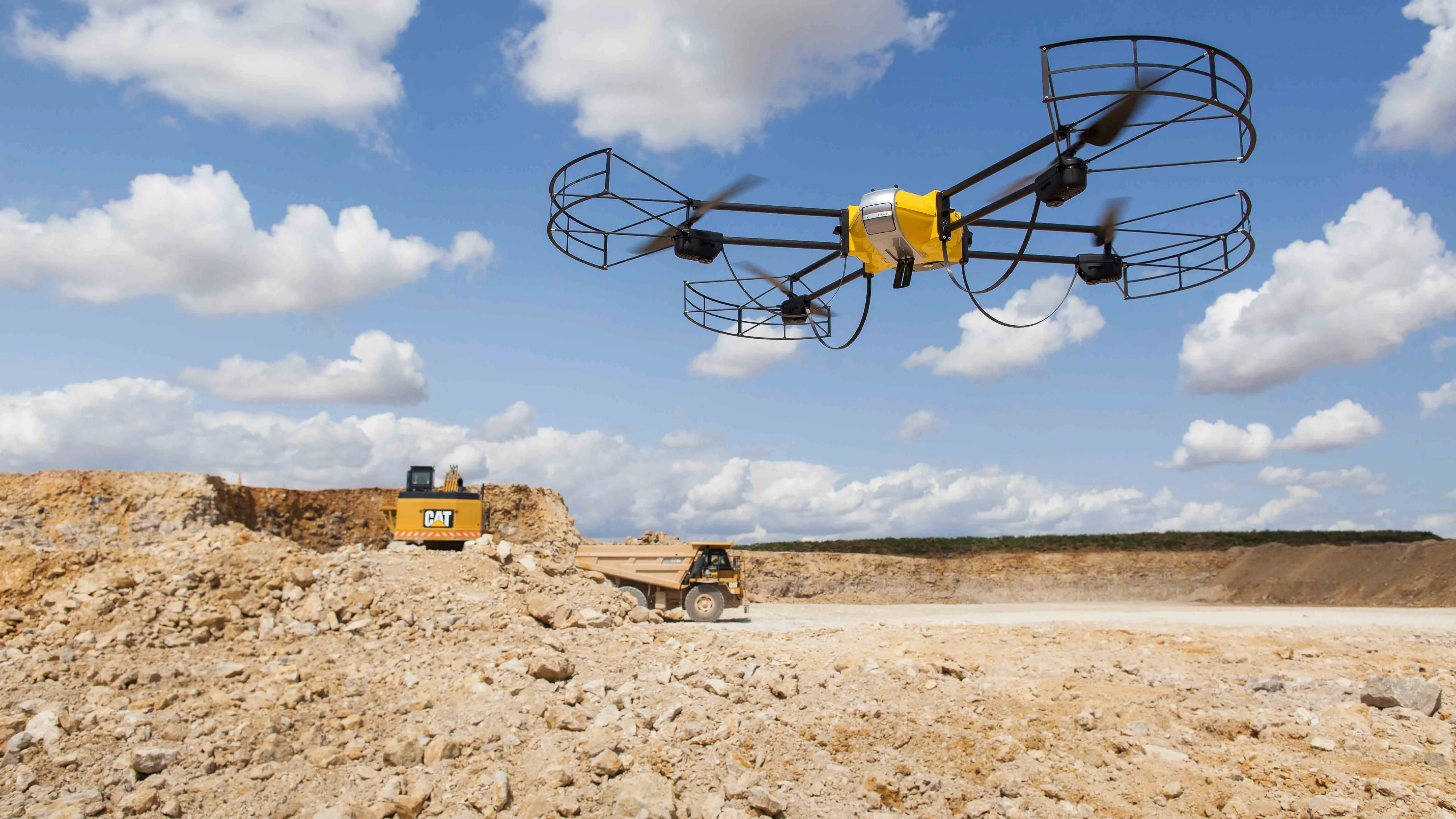
    Airware, a commercial drone solutions provider, has acquired Redbird, a France-based pioneer in drone data analytics that has been working closely with Caterpillar. Redbird focuses on the mining, quarrying, and construction industries through sophisticated geospatial analytics which will be integrated into the Airware Aerial Information Platform. This will give customers the combined power of Redbird's industry-specific analytics and Airware's enterprise-focused workflow, compliance, and security feature