Accurate utilities detection

By MJ Woof November 26, 2024 Read time: 1 min
Utility works can be carried out more efficiently using new capabilities offered jointly by Trimble and Radiodetection

Trimble and Radiodetection are collaborating to improve the technology used in the utility measurement and mapping process. Integrating the Trimble Catalyst DA2 GNSS system and Radiodetection’s RD MapTM+ application and precision locator products helps to streamline utility-locating workflows to provide accurate measurement capabilities and generate underground utilities maps in a single field operation.

When using conventional technology, field technicians mark their measurements onsite or rely on data entries to provide to office staff for map creation after a site visit. However, data collected with the Trimble Catalyst DA2 GNSS system can now be simultaneously synchronised with Radiodetection RD Map+ and precision locators that find and mark buried utilities. By streamlining this connection, workers can digitise utility-line locations and reduce reporting errors. 

“Accurate geolocation is critical to the operation and maintenance of underground utilities and public infrastructure,” said Stephanie Michaud, strategic marketing manager, Trimble Surveying & Mapping Field Solutions. “By adding survey-grade capabilities to existing utility workflows, this collaboration creates a connected solution that provides confidence and reliability during the data capture process.”

The combined technologies provide accurate data for construction firms to work from, assisting with the establishment of dependable digital twins.




For more information on companies in this article

Related Content

  • Efficient road maintenance with Simex
    October 1, 2022

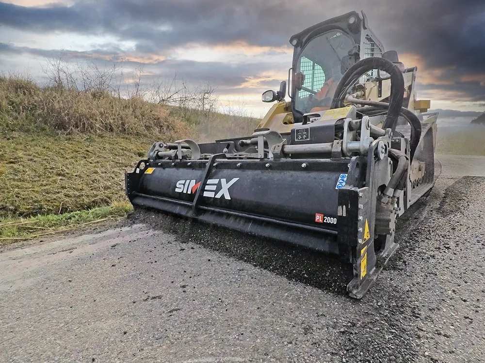
    Simex at Bauma Munich from 24 to 30 October, Hall C5, Booth 325.

    Bauma Munich – the most anticipated trade fair event in terms of strategic importance, turnout, new product launches and media impact for the earthmoving sector – has always been an opportunity for Simex to show to its partners and users its technical quality. The ability to innovate and do research, combining the new models in the range with new technological concepts, it’s the Simex way to outline the paths to be followed in the future.

  • Leica Captivate Experience works with fifth generation of ATRplus
    August 17, 2015
    Leica Geosystems says its Leica Captivate Experience creates highly realistic 3D models that enables professionals to capture and manage complex data easily and accurately. With little more than a swipe, users can now navigate through customisable apps containing information for multiple projects. Advanced lining and coding provide an interactive 3D model where users can zoom, pan and orbit the rendering for optimal viewing and manipulation. “Leica Geosystems has taken a giant leap forward with Captiv
  • Topcon and Bentley join forces to model reality
    March 8, 2017
    Topcon Positioning and Bentley Systems are introducing the product of their joint development project at CONEXPO-CON/AGG 2017, a reality modelling software solution.
  • Sandvik sets technology partnership with IBM
    March 3, 2017
    Sandvik has announced a landmark technology partnership with IBM. The agreement between Sandvik Mining and Rock Technology and IBM will see the two firms jointly develop technology to deliver Data Driven Productivity and Predictive Maintenance services for rock excavation. The terms of the deal will see Sandvik and IBM working together on advanced analytics solutions to improve safety, maintenance, productivity and operational services of rock excavation equipment. Sandvik points out that the growth in o