Accurate utilities detection

By MJ Woof November 26, 2024 Read time: 1 min
Utility works can be carried out more efficiently using new capabilities offered jointly by Trimble and Radiodetection

Trimble and Radiodetection are collaborating to improve the technology used in the utility measurement and mapping process. Integrating the Trimble Catalyst DA2 GNSS system and Radiodetection’s RD MapTM+ application and precision locator products helps to streamline utility-locating workflows to provide accurate measurement capabilities and generate underground utilities maps in a single field operation.

When using conventional technology, field technicians mark their measurements onsite or rely on data entries to provide to office staff for map creation after a site visit. However, data collected with the Trimble Catalyst DA2 GNSS system can now be simultaneously synchronised with Radiodetection RD Map+ and precision locators that find and mark buried utilities. By streamlining this connection, workers can digitise utility-line locations and reduce reporting errors. 

“Accurate geolocation is critical to the operation and maintenance of underground utilities and public infrastructure,” said Stephanie Michaud, strategic marketing manager, Trimble Surveying & Mapping Field Solutions. “By adding survey-grade capabilities to existing utility workflows, this collaboration creates a connected solution that provides confidence and reliability during the data capture process.”

The combined technologies provide accurate data for construction firms to work from, assisting with the establishment of dependable digital twins.




For more information on companies in this article

Related Content

  • New ADTs offer low emissions performance and fast cycle times
    December 2, 2014
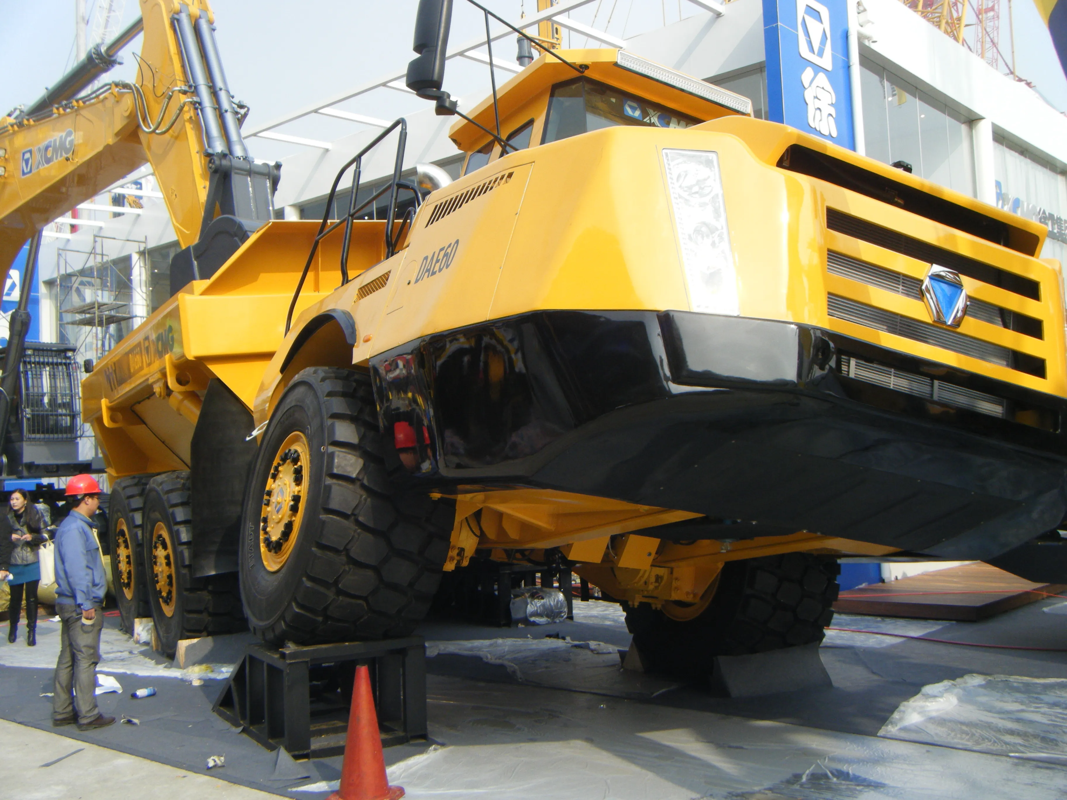
    Its incredible versatility means that the articulated dumptruck (ADT) has become a popular piece of equipment for quarrying or earthmoving applications. For quarrying in particular, the machines are highly useful as they are able to cope with steeper ramp hauls and tougher terrain than rigid haulers offering similar payloads.
  • GPS system for trenching
    February 7, 2012
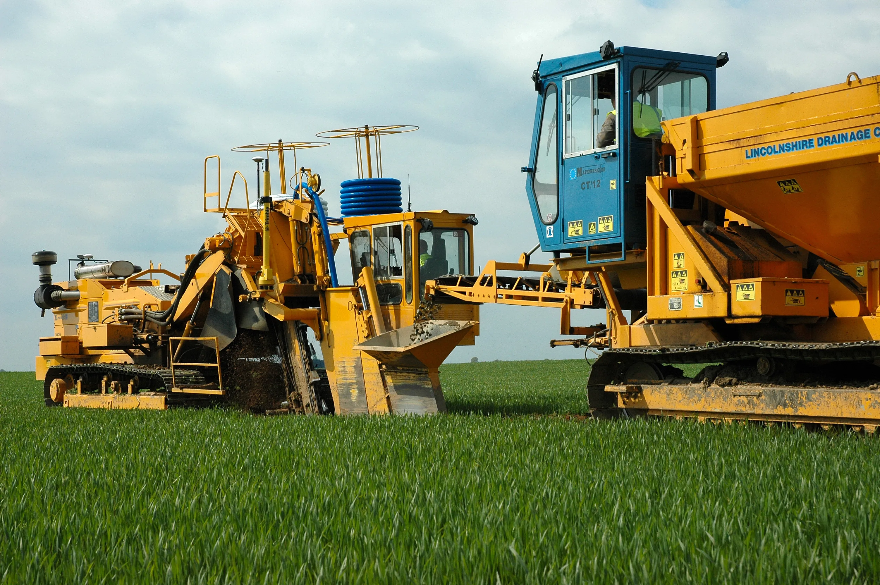
    Mastenbroek has developed a sophisticated GPS-controlled system for use in drainage trenching applications in partnership with Trimble Germany. The package is based on Trimble's Field Level II technology and is said to offer key benefits over existing laser-based technology. Surveying times can be slashed while drainage costs can be cut through more accurate deployment of gravel fill. An on-board computerised touch-screen display records every detail of the job, which can be downloaded for analysis and bill
  • Topcon and DAQRI co-developing new safety technology
    December 2, 2015
    Topcon Positioning is establishing a collaboration with DAQRI to develop wearable safety technology for use on construction sites. The two firms will work together to develop technology that will boost safety for site personnel through the use of augmented reality systems. DAQRI is a leader in enterprise augmented reality and developed the Smart Helmet, an industrial-grade unit that seamlessly connects personnel to work environments by providing information about the surroundings.
  • Better drainage planning with QuAD software
    April 19, 2021
    The QuAD software resilience tool from ACO Water Management allows users to test the efficiency of a proposed maintenance regime for a roadway water channel design.