Accurate utilities detection

By MJ Woof November 26, 2024 Read time: 1 min
Utility works can be carried out more efficiently using new capabilities offered jointly by Trimble and Radiodetection

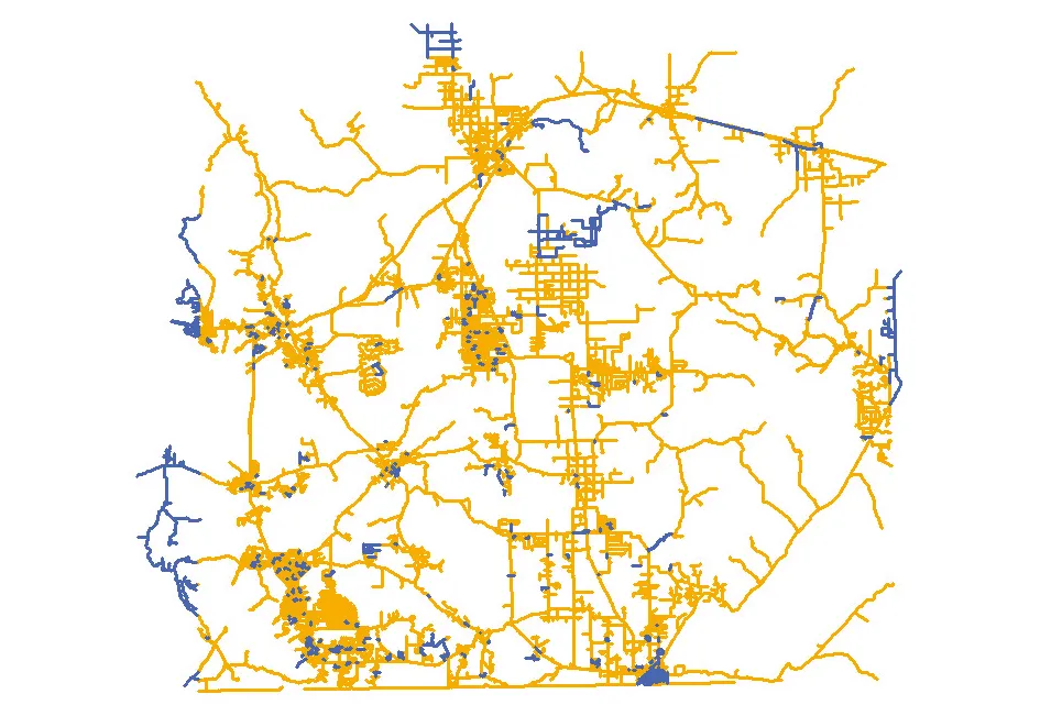
Trimble and Radiodetection are collaborating to improve the technology used in the utility measurement and mapping process. Integrating the Trimble Catalyst DA2 GNSS system and Radiodetection’s RD MapTM+ application and precision locator products helps to streamline utility-locating workflows to provide accurate measurement capabilities and generate underground utilities maps in a single field operation.

When using conventional technology, field technicians mark their measurements onsite or rely on data entries to provide to office staff for map creation after a site visit. However, data collected with the Trimble Catalyst DA2 GNSS system can now be simultaneously synchronised with Radiodetection RD Map+ and precision locators that find and mark buried utilities. By streamlining this connection, workers can digitise utility-line locations and reduce reporting errors. 

“Accurate geolocation is critical to the operation and maintenance of underground utilities and public infrastructure,” said Stephanie Michaud, strategic marketing manager, Trimble Surveying & Mapping Field Solutions. “By adding survey-grade capabilities to existing utility workflows, this collaboration creates a connected solution that provides confidence and reliability during the data capture process.”

The combined technologies provide accurate data for construction firms to work from, assisting with the establishment of dependable digital twins.




For more information on companies in this article

Related Content

  • Accurate positioning with Topcon
    March 13, 2024

    The new Hybrid Positioning system from Topcon is said to perform faster in the field than stand-alone robotic systems and is more versatile than RTK-only solutions. The latest Hybrid Positioning technology combines GNSS positioning and optical robotic measurements on one rover pole.

  • Paving smarter with LeeBoy equipment
    April 20, 2018
    A highway widening project in the US state of New Hampshire is being assisted by the use of a gravity-fed asphalt paver. The widening work is being carried out as part of an upgrade for a 32km stretch of I-93, which was started eight years ago. The work is being carried out for the New Hampshire Department of Transportation (NHDOT) on a section of the highway between Exits 1 and 5 from the Massachusetts Stateline to Manchester, NH. According to NHDOT, the project involves widening I-93 from two lanes in
  • Valerann wins AI European Space Agency deal
    April 25, 2025
    Valerann’s traffic monitoring contract is from ESA’s Business Applications and Space Solutions (BASS) programme which supports services that use space technology and data in markets such as transportation.
  • 1Spatial works with Arizona to visualise road changes
    March 8, 2017
    The department of transportation in the US state of Arizona has automated its data processes, says Duncan Guthrie. In Arizona, the Department of Transportation (ADOT) is improving the way it responds to the demand for information from the Federal Highways Administration (FHWA). ADOT is implementing an automated, repeatable process to simplify and smooth the creation and maintenance of their state-wide dataset. This will meet reporting requirements for ARNOLD - All Road Network Of Linear Referenced Data - an