Accurate surveys

Leica Geosystems says that its new Viva TS12 performance robotic package offers a comprehensive package of surveying solutions. High accuracy surveying can be achieved using this cost-effective system, according to the firm. The package comprises the Leica Viva TS12 Total Station, the Viva CS10 Controller and the easy-to-use SmartWorx Viva Onboard Software. The Viva TS12 can be used to find, lock and measure points to prisms with accuracy.
March 19, 2012 Read time: 1 min
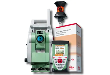
265 Leica Geosystems says that its new Viva TS12 performance robotic package offers a comprehensive package of surveying solutions. High accuracy surveying can be achieved using this cost-effective system, according to the firm. The package comprises the Leica Viva TS12 Total Station, the Viva CS10 Controller and the easy-to-use SmartWorx Viva Onboard Software. The Viva TS12 can be used to find, lock and measure points to prisms with accuracy. The PowerSearch sensor is said to locate any prism type within seconds, regardless of location. The Viva CS10 is said to be ergonomic in design and light in weight, allowing long range, secure and fast wireless connectivity to the Viva TS12. Meanwhile the SmartWorx Viva LT is designed using clear graphics, non-technical terminology and simplified workflows and is said to allow users to complete surveying tasks within a minimum of time.

For more information on companies in this article

Related Content

  • AibotX6 Version 2 uses High Precision GNSS
    January 19, 2016
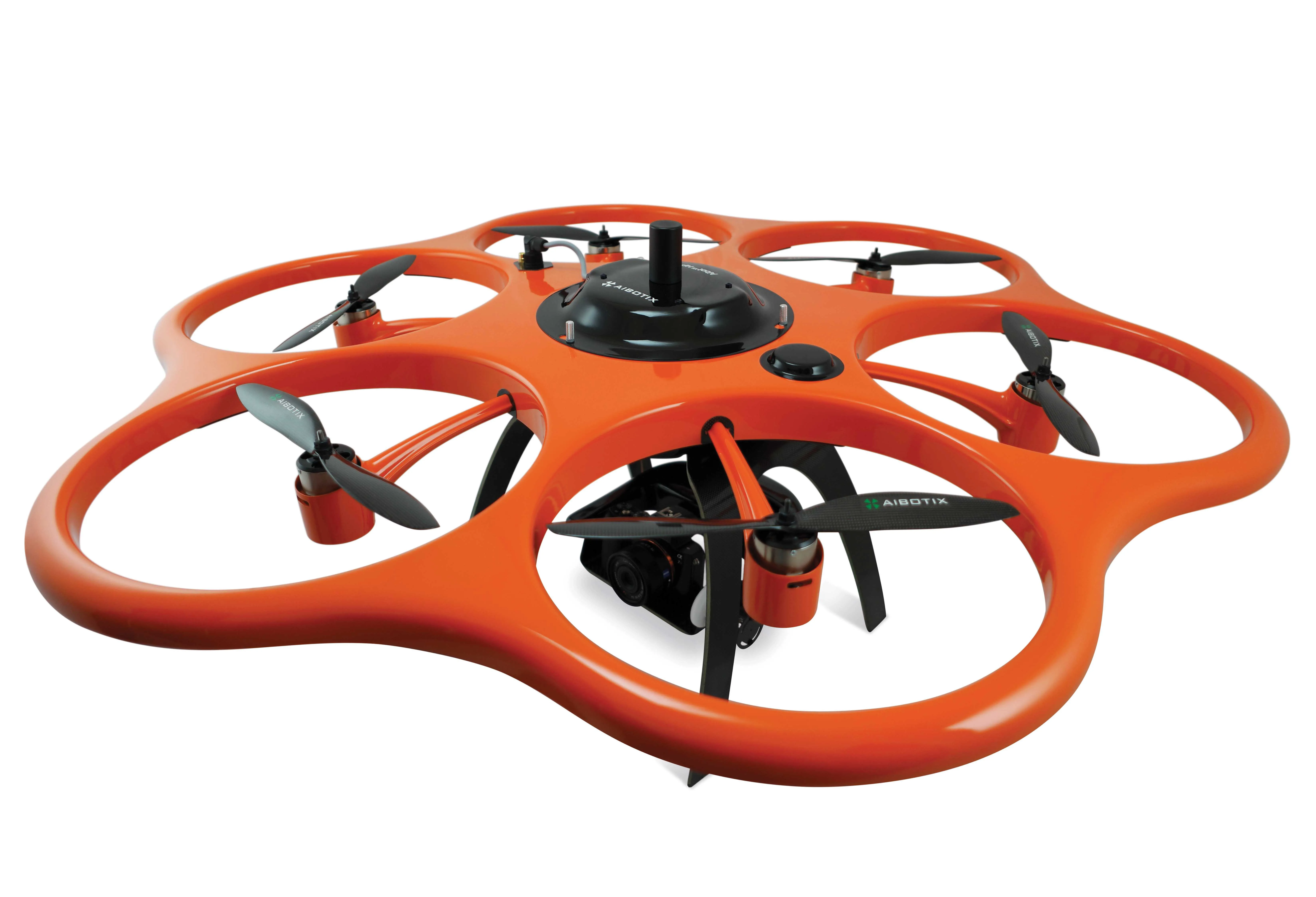
    Kassel-based company Aibotix has presented a solution for high-precision surveying with Version 2 of its tried and tested surveying hexacopter AibotX6: High Precision GNSS. Aibotix, based in Kassel, in the middle of Germany, develops and manufactures multi-copters for applications in the industrial sector. The company's name is a combination of Ai for artificial intelligence and botix for robotics.
  • StreetMapper cuts cost of highway surveying projects
    April 20, 2012
    Dutch surveying company Geomaat is capturing millimetre accurate measurements in record times to support a range of highway design, construction and maintenance projects. Using the mobile laser mapping system StreetMapper, and specially developed point cloud software, the company can calculate very accurate cutting, milling and asphalt figures, create as built models and undertake change detection. “In the past, these types of measurement were undertaken using total stations which was time consuming, and
  • SICK launches 3D TIC502 LiDAR sensor system for traffic management
    May 18, 2018
    Sick says that its latest TIC502 twin LiDAR sensor system has high all-weather capability between -40OC and +60OC. The TIC502 incorporates vehicle speed detection with 3D profiling and counting of fast-lane, free flowing and static traffic to facilitate toll charge assessment. It can also be integrated with additional 2D LiDAR sensors to count axles for complete traffic profiling and assessment in a single system, according to the company that was set up in 1946 by optical engineer Erwin Sick in Waldkir
  • Trimble offers advanced dozer machine control solution
    February 28, 2018
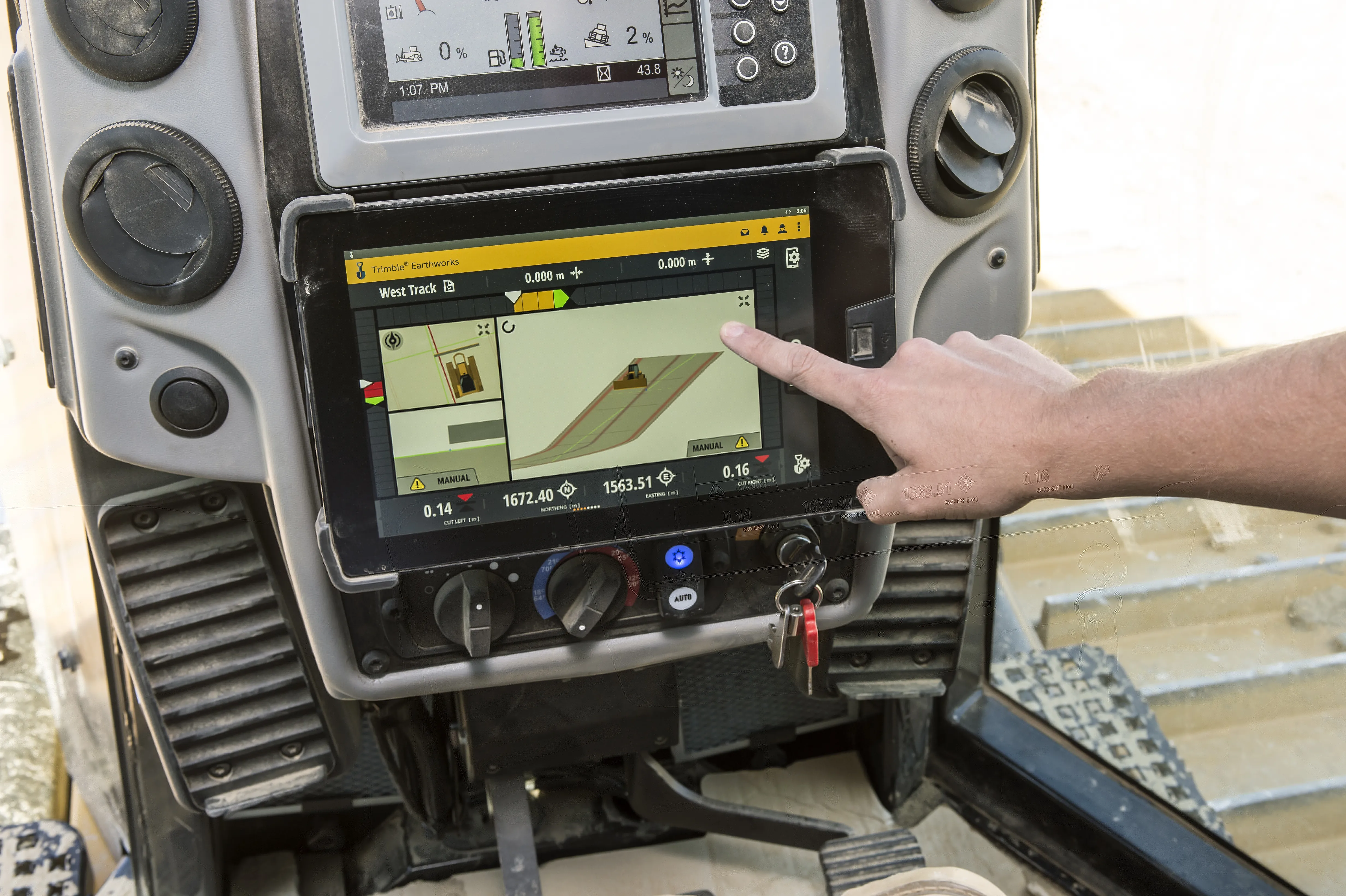
    Trimble is now introducing its Earthworks for Dozers package, following on from the Earthworks for Excavators system unveiled last year. The Earthworks Grade Control System for Dozers uses the same inertial motion sensors (IMUs) as the excavator package and mounts its dual GNSS receivers on top of the cab to eliminate masts and cables conventionally located on the blade. The dual GNSS receivers suit steep slope work and complex designs with tight tolerances. The new configuration keeps valuable receivers