Accurate surveys

Leica Geosystems says that its new Viva TS12 performance robotic package offers a comprehensive package of surveying solutions. High accuracy surveying can be achieved using this cost-effective system, according to the firm. The package comprises the Leica Viva TS12 Total Station, the Viva CS10 Controller and the easy-to-use SmartWorx Viva Onboard Software. The Viva TS12 can be used to find, lock and measure points to prisms with accuracy.
March 19, 2012 Read time: 1 min

265 Leica Geosystems says that its new Viva TS12 performance robotic package offers a comprehensive package of surveying solutions. High accuracy surveying can be achieved using this cost-effective system, according to the firm. The package comprises the Leica Viva TS12 Total Station, the Viva CS10 Controller and the easy-to-use SmartWorx Viva Onboard Software. The Viva TS12 can be used to find, lock and measure points to prisms with accuracy. The PowerSearch sensor is said to locate any prism type within seconds, regardless of location. The Viva CS10 is said to be ergonomic in design and light in weight, allowing long range, secure and fast wireless connectivity to the Viva TS12. Meanwhile the SmartWorx Viva LT is designed using clear graphics, non-technical terminology and simplified workflows and is said to allow users to complete surveying tasks within a minimum of time.

For more information on companies in this article

Related Content

  • US highway rebuild uses hard-wearing asphalt
    July 18, 2012
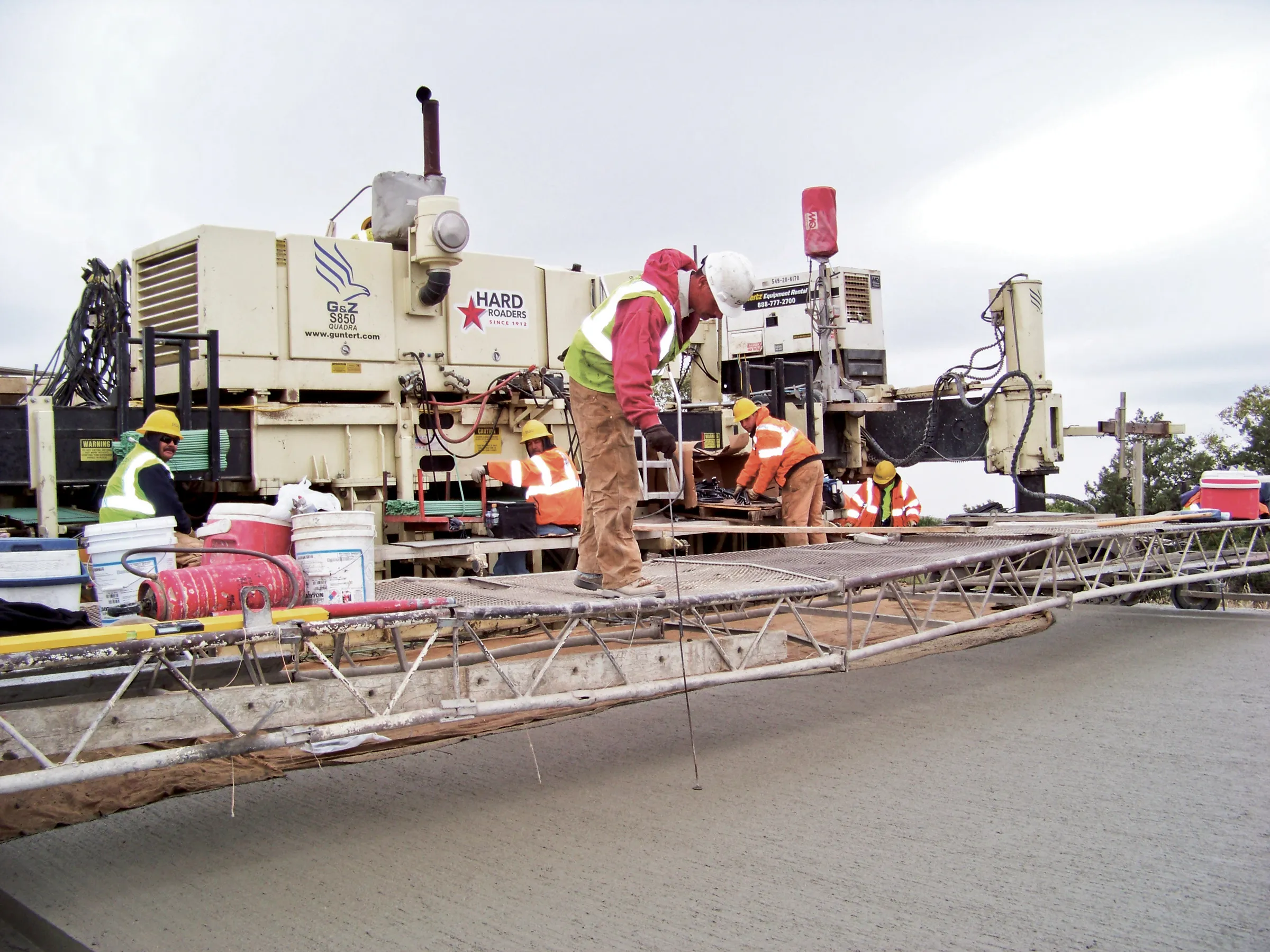
    Guntert & Zimmerman equipment is being used to create a new hard-wearing asphalt surface on a key Interstate highway in the US state of Kansas as Mike Woof reports A busy Interstate highway in the US is now benefiting from a new, long-lasting surface. The road, Interstate 70 in Western Kansas, was in need of resurfacing. The full-depth asphalt roadway, up to 508mm thick in certain sections, had reached the end of its working life.
  • Paving control package for concrete or asphalt pavers
    March 16, 2012
    Leica Geosystems has launched v3.0 of its Leica PaveSmart 3D system, which is designed specifically for concrete and asphalt paving and milling applications. This upgraded package is now said to support a wider range of paving equipment and applications than before. PaveSmart 3D v3.0 will be available late March 2012 through Leica Geosystems’ direct sales and approved paving solution distribution channels, including GOMACO.
  • Paving control package for concrete or asphalt pavers
    April 10, 2012
    Leica Geosystems has launched v3.0 of its Leica PaveSmart 3D system, which is designed specifically for concrete and asphalt paving and milling applications. This upgraded package is now said to support a wider range of paving equipment and applications than before. PaveSmart 3D v3.0 will be available late March 2012 through Leica Geosystems’ direct sales and approved paving solution distribution channels, including GOMACO.
  • More satellites, more signals
    July 20, 2012
    Greater GPS accuracy suggests closer tolerances for surveying and machine control functions What happens in the future for GPS surveying and machine control could depend on satellite choice and signals. Right now there are around 30 satellites in orbit, largely built by the US, but by 2012 that could rise to 120 as Europe, China, India and Russia fully enter the market. A chequered history has faced the European's Galileo system. At long last, the finance appears to be in place and the European Commission a