Accurate data capture with Hexagon

Hexagon is introducing the Leica BLK ARC and the Leica BLK2FLY tools, which offer speed, portability and mobility for autonomous mobile reality capture.
January 2, 2022 Read time: 2 mins
Accurate site evaluation is feasible with Hexagon’s latest technology

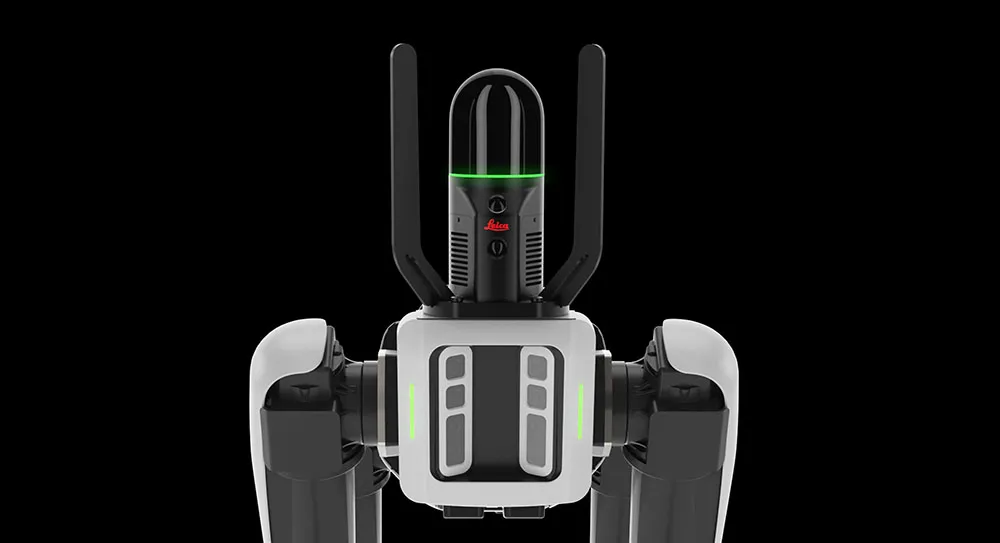
The Leica BLK ARC is a laser scanning sensor designed to improve autonomous navigation of robots and other carrier platforms. Combining speed, accuracy, and versatility with robotics, the BLK ARC offers an autonomous solution that can capture accurate 3D point clouds and panoramic images of changing environments with minimal user intervention.

The Leica BLK2FLY is a fully integrated, autonomous flying laser scanning sensor. Users can use a tablet to scan structures and environments accurately from the air.

The BLK ARC and BLK2FLY tools connect directly to Hexagon’s cloud-based visualisation platform, HxDR, where data uploaded from the field, AI-enabled cloud processing and storage of the captured data allows the delivery of smart digital reality to users.  The BLK ARC can be fitted to the Spot unit from Boston Dynamics Spot but can be integrated with other autonomous robotic carriers. The BLK ARC delivers fully autonomous mobile laser scanning specifically designed for robots. The BLK ARC improves Spot's navigation while capturing 3D data.

The BLK2FLY offers advanced autonomous obstacle avoidance. The system combines LiDAR, radar, cameras, and GNSS for optimal and safe flight paths. Users can combine data from the BLK2FLY with interior scans of buildings and structures captured with the Leica BLK2GO, Hexagon’s handheld 3D scanner. The resulting colourised 3D point clouds are instrumental to building information modelling (BIM) processes, including documenting site conditions.

For more information on companies in this article

Related Content

  • IRF World Congress 2024: Christian U. Haas of Umovity interview ahead of the Congress
    October 1, 2024
    With its combination of software, hardware and services, Umovity accelerates end-to-end traffic planning and management globally. Christian U. Haas, chief executive of Umovity, recently spoke to the IRF ahead of the IRF World Congress to be held this month in Istanbul, on the challenges and opportunities facing the mobility sector.
  • Bentley creates digital production chain for Pont-de-Veyle bypass
    September 14, 2016
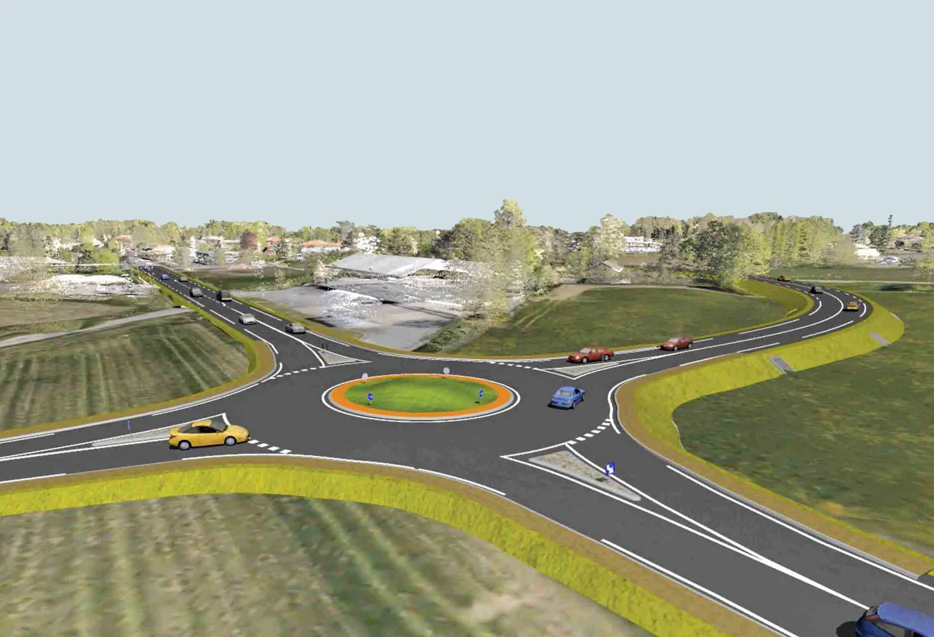
    Pont-de-Veyle is a picturesque village of around 1,600 people in France’s eastern Rhones-Alps region. Being in a tourist area and close to major towns and cities meant that traffic – around 9,000 vehicles a day through its small streets – was becoming a concern The village sits about 30km from the larger town of Bourg-en-Bresse, towards the Swiss border. It also lies around 60km from the city of Lyon, all in the Department of Ain. The regional administrative authority Ain created the Conseil Départementa
  • Software and control innovations introduced
    August 28, 2023
    New developments in construction machine control systems and construction software are helping to change the face of the industry
  • Machine control from Topcon for compact equipment
    March 17, 2023
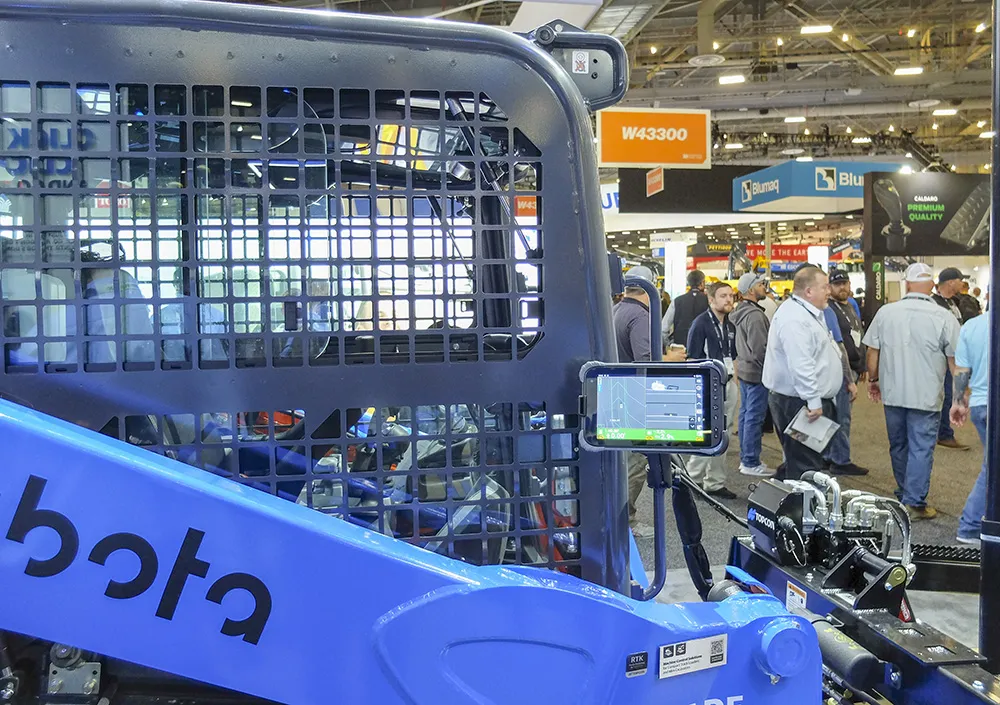
    A new system from Topcon Positioning is taking the firm into a new market segment. Mark Contino is vice-president of North American Retail Distribution at Topcon Positioning Systems and commented that the technology is now well-accepted on larger projects, “We’ve been doing GPS since the late 1990s. It’s not new anymore. Everyone uses it now.”