Accurate data capture with Hexagon

Hexagon is introducing the Leica BLK ARC and the Leica BLK2FLY tools, which offer speed, portability and mobility for autonomous mobile reality capture.
January 2, 2022 Read time: 2 mins
Accurate site evaluation is feasible with Hexagon’s latest technology

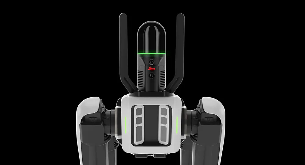
The Leica BLK ARC is a laser scanning sensor designed to improve autonomous navigation of robots and other carrier platforms. Combining speed, accuracy, and versatility with robotics, the BLK ARC offers an autonomous solution that can capture accurate 3D point clouds and panoramic images of changing environments with minimal user intervention.

The Leica BLK2FLY is a fully integrated, autonomous flying laser scanning sensor. Users can use a tablet to scan structures and environments accurately from the air.

The BLK ARC and BLK2FLY tools connect directly to Hexagon’s cloud-based visualisation platform, HxDR, where data uploaded from the field, AI-enabled cloud processing and storage of the captured data allows the delivery of smart digital reality to users.  The BLK ARC can be fitted to the Spot unit from Boston Dynamics Spot but can be integrated with other autonomous robotic carriers. The BLK ARC delivers fully autonomous mobile laser scanning specifically designed for robots. The BLK ARC improves Spot's navigation while capturing 3D data.

The BLK2FLY offers advanced autonomous obstacle avoidance. The system combines LiDAR, radar, cameras, and GNSS for optimal and safe flight paths. Users can combine data from the BLK2FLY with interior scans of buildings and structures captured with the Leica BLK2GO, Hexagon’s handheld 3D scanner. The resulting colourised 3D point clouds are instrumental to building information modelling (BIM) processes, including documenting site conditions.

For more information on companies in this article

Related Content

  • Using technology so assess road surface quality
    April 4, 2014
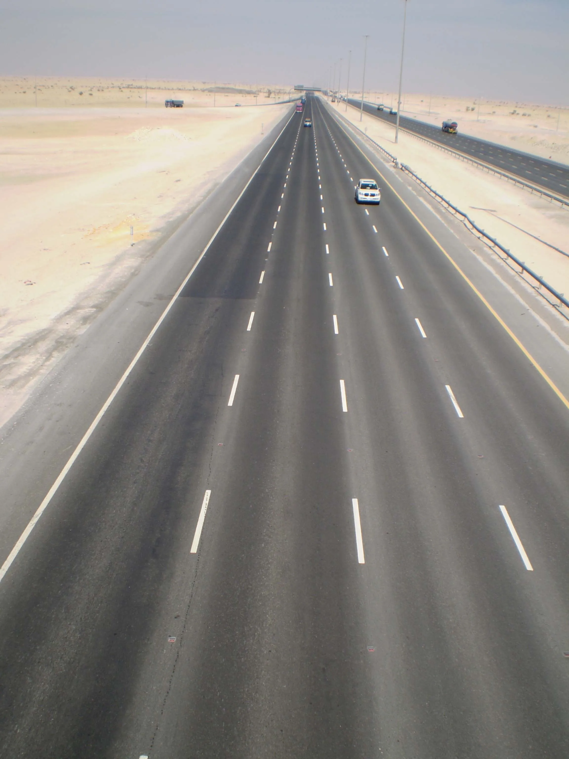
    Advances in survey technology and the evolving face of road procurement are driving demand for highway condition data. Mark Thomas, infrastructure services manager at Fugro Aperio writes how surveys of new roads can improve long-term quality While a growing suite of non-intrusive testing, measurement and survey technologies are widely used to target highway repairs and to determine asset management strategies, the use of these powerful tools remains patchy in the early stages of the infrastructure life cycl
  • New Bocimi Toll Road Aims to Reduce Travel Time and Boost Indonesia’s Economy
    April 20, 2023
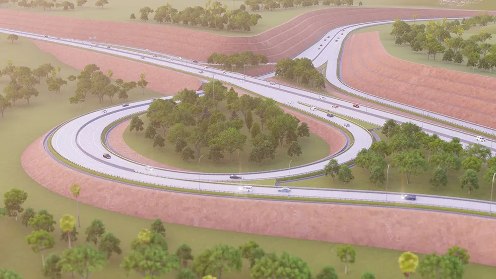
    The Bogor-Ciawi-Sukabumi (Bocimi) toll road is a series of national strategic projects to help reduce traffic congestion along the existing factory-lined roadway, as well as enhance regional connectivity and tourism in West Java. Spanning 54 kilometers, the new highway corridor is expected to shorten travel time between the Bogor and Sukabumi provinces from two hours to 30 minutes and boost economic conditions in the surrounding Sukabumi area. Construction is divided into four phases, the first of which measures 15.35 kilometers and is already complete. PT Waskita Karya (Waskita) is the main contractor for the IDR 2.1 trillion second section, spanning 11.9 kilometers between Cigombong and Cibadak, and set for completion in 2023 after being delayed due to the pandemic.
  • Road recycling
    September 27, 2023
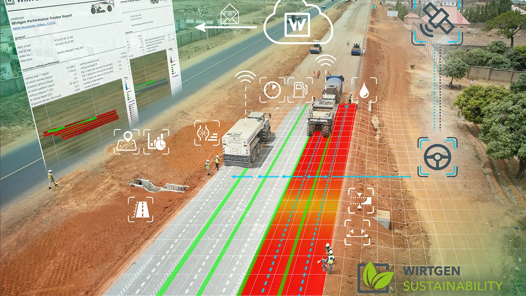
    Easier to operate, thanks to the increasing use of GPS, and greener to run because of biofuels are two of the more innovative technologies being integrated into machine design by major road recycling equipment manufacturers.
  • Accurate positioning with Topcon
    March 13, 2024

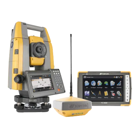
    The new Hybrid Positioning system from Topcon is said to perform faster in the field than stand-alone robotic systems and is more versatile than RTK-only solutions. The latest Hybrid Positioning technology combines GNSS positioning and optical robotic measurements on one rover pole.