Accurate data capture with Hexagon

Hexagon is introducing the Leica BLK ARC and the Leica BLK2FLY tools, which offer speed, portability and mobility for autonomous mobile reality capture.
January 2, 2022 Read time: 2 mins
Accurate site evaluation is feasible with Hexagon’s latest technology

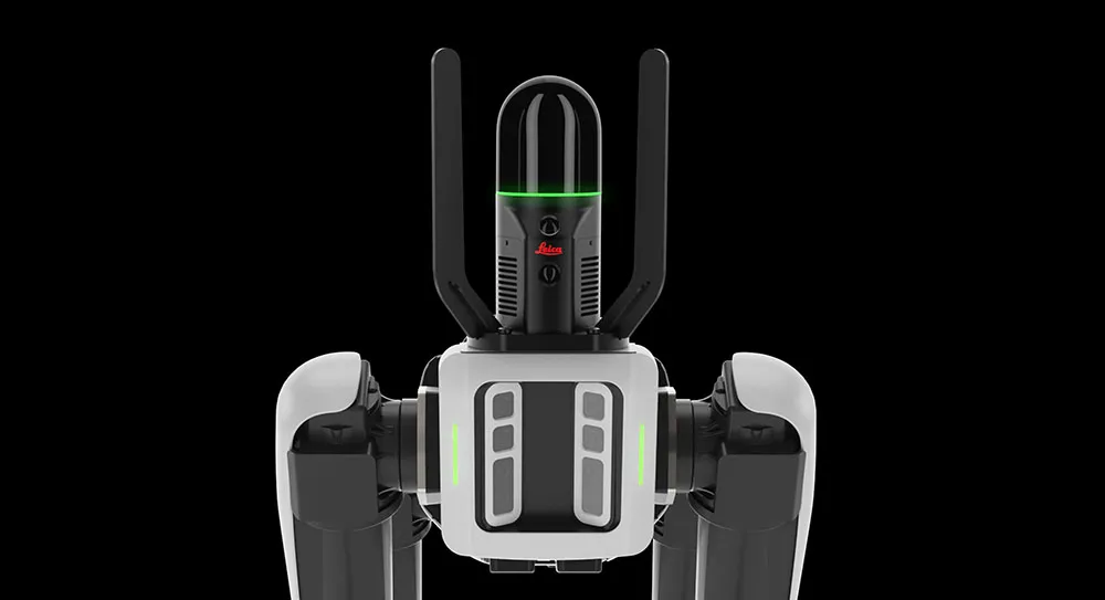
The Leica BLK ARC is a laser scanning sensor designed to improve autonomous navigation of robots and other carrier platforms. Combining speed, accuracy, and versatility with robotics, the BLK ARC offers an autonomous solution that can capture accurate 3D point clouds and panoramic images of changing environments with minimal user intervention.

The Leica BLK2FLY is a fully integrated, autonomous flying laser scanning sensor. Users can use a tablet to scan structures and environments accurately from the air.

The BLK ARC and BLK2FLY tools connect directly to Hexagon’s cloud-based visualisation platform, HxDR, where data uploaded from the field, AI-enabled cloud processing and storage of the captured data allows the delivery of smart digital reality to users.  The BLK ARC can be fitted to the Spot unit from Boston Dynamics Spot but can be integrated with other autonomous robotic carriers. The BLK ARC delivers fully autonomous mobile laser scanning specifically designed for robots. The BLK ARC improves Spot's navigation while capturing 3D data.

The BLK2FLY offers advanced autonomous obstacle avoidance. The system combines LiDAR, radar, cameras, and GNSS for optimal and safe flight paths. Users can combine data from the BLK2FLY with interior scans of buildings and structures captured with the Leica BLK2GO, Hexagon’s handheld 3D scanner. The resulting colourised 3D point clouds are instrumental to building information modelling (BIM) processes, including documenting site conditions.

For more information on companies in this article

Related Content

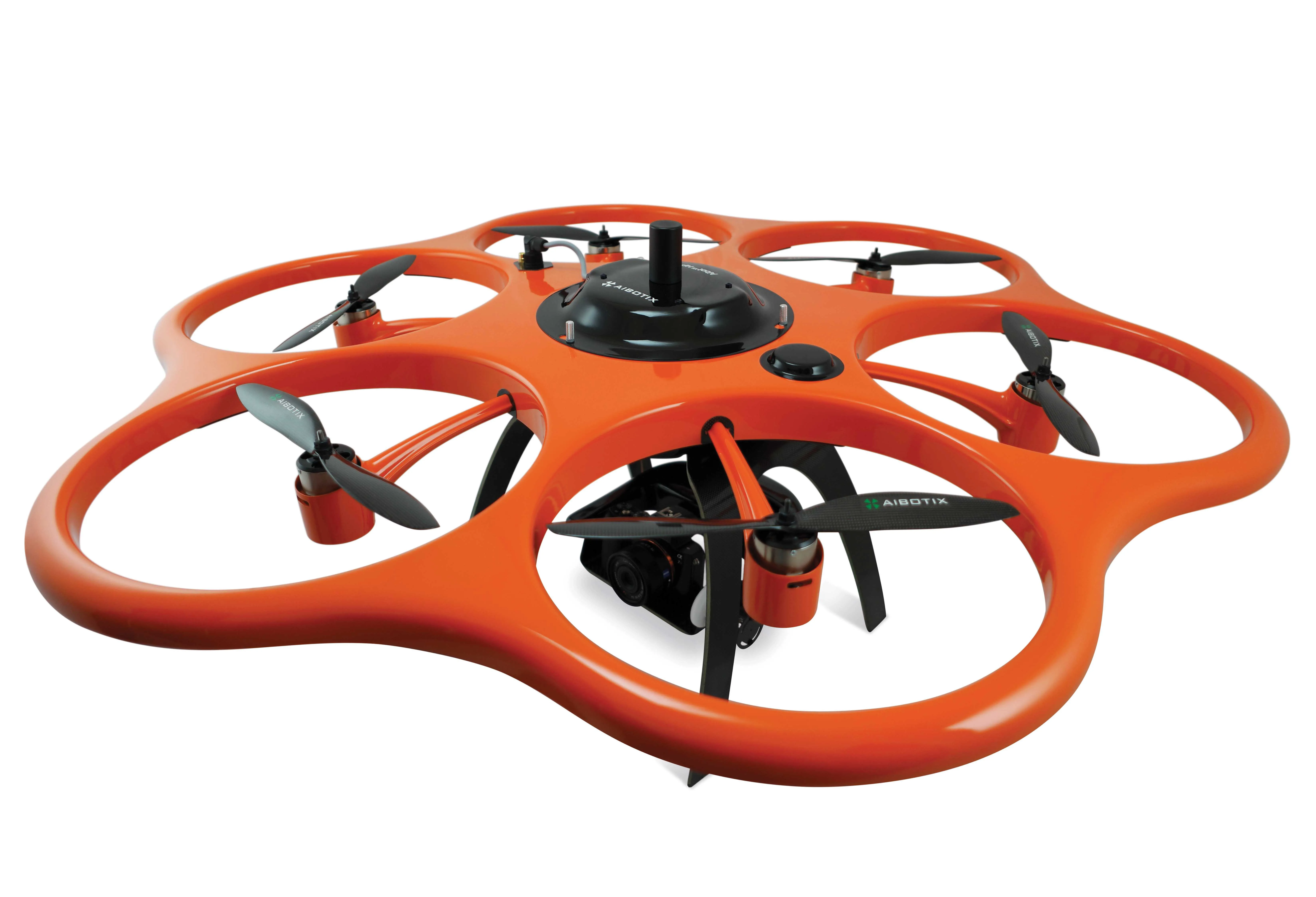
  • AibotX6 Version 2 uses High Precision GNSS
    January 19, 2016
    Kassel-based company Aibotix has presented a solution for high-precision surveying with Version 2 of its tried and tested surveying hexacopter AibotX6: High Precision GNSS. Aibotix, based in Kassel, in the middle of Germany, develops and manufactures multi-copters for applications in the industrial sector. The company's name is a combination of Ai for artificial intelligence and botix for robotics.
  • Machine control innovations
    February 15, 2012
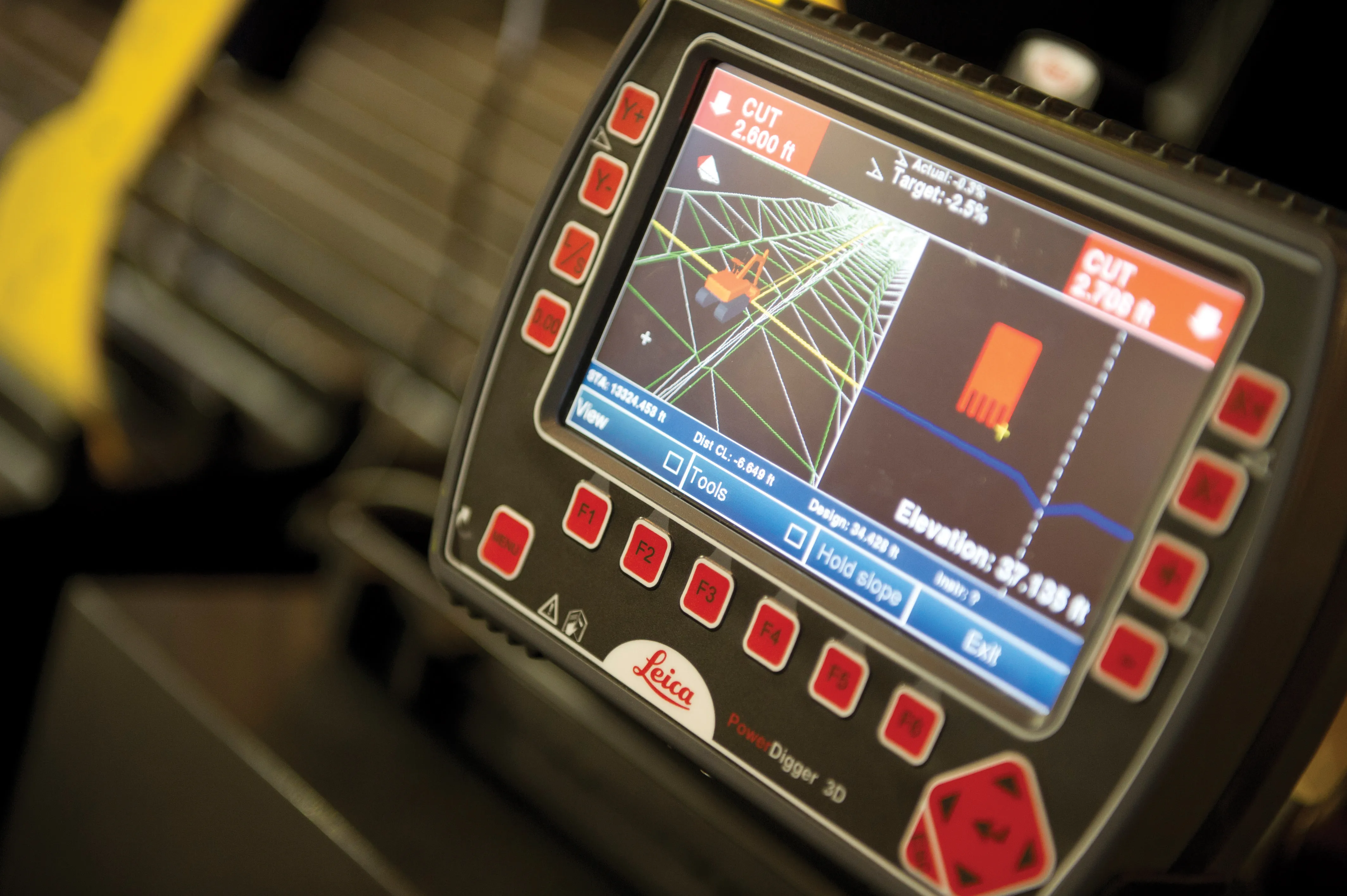
    THE RECENT CONEXPO-CON/AGG exhibition has seen the launch of a wealth of new machine control technologies - Mike Woof reports A fast pace of technological development in the machine control sector is seeing new innovations come to market at regular intervals. The developments remain focussed on the three main technology suppliers to this market, Leica Geosystems, Topcon and Trimble, offereng a combination of systems using machine control based on GPS, total station, sonic units and industrial inertial gu
  • Fast field data collection
    February 10, 2012
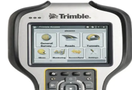
    Trimble's sophisticated TSC3 controller is designed to allow surveyors and geospatial professionals to collect, share and deliver data. This unit is said to improve accuracy, efficiency and productivity between the field and office and is designed to be used with the Trimble Access software. The TSC3 controller offers fast and reliable data collection, computing and connectivity capabilities and provides multiple functions in a single handheld device. The unit incorporates a digital camera, integrated commu
  • 3D Repo develop virtual reality safety app for Balfour Beatty
    April 18, 2017
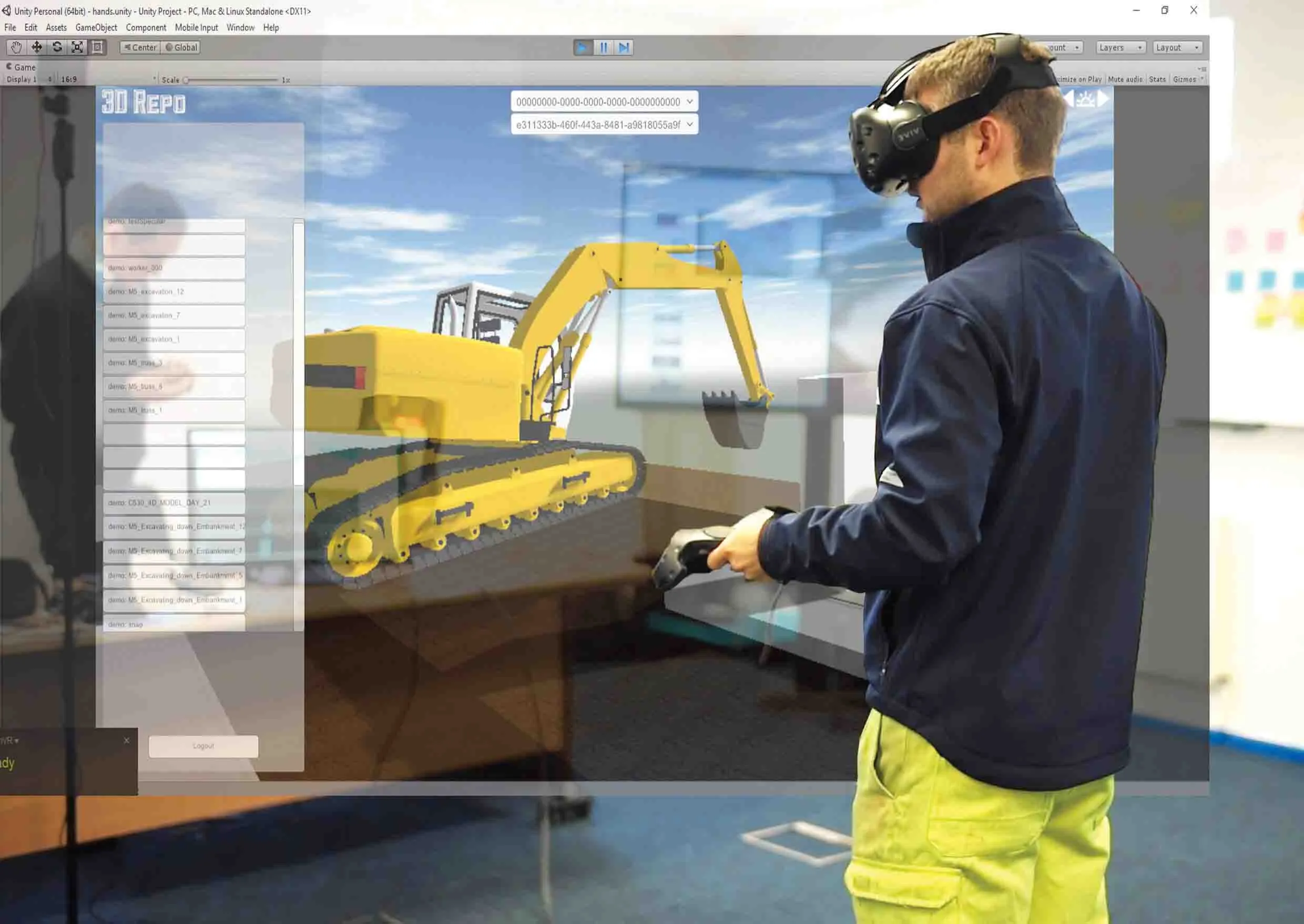
    3D Repo is working with contractors Balfour Beatty and Vinci and the UK roads agency Highways England to deploy a virtual reality simulation program for safety training. 3D Repo, a spin-off from University College London, develops open-source software for building information modelling in the cloud. More than 40 different 3D file formats are decomposed and federated in the company’s big data repository.