Accurate data capture with Hexagon

Hexagon is introducing the Leica BLK ARC and the Leica BLK2FLY tools, which offer speed, portability and mobility for autonomous mobile reality capture.
January 2, 2022 Read time: 2 mins
Accurate site evaluation is feasible with Hexagon’s latest technology

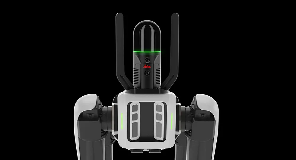
The Leica BLK ARC is a laser scanning sensor designed to improve autonomous navigation of robots and other carrier platforms. Combining speed, accuracy, and versatility with robotics, the BLK ARC offers an autonomous solution that can capture accurate 3D point clouds and panoramic images of changing environments with minimal user intervention.

The Leica BLK2FLY is a fully integrated, autonomous flying laser scanning sensor. Users can use a tablet to scan structures and environments accurately from the air.

The BLK ARC and BLK2FLY tools connect directly to Hexagon’s cloud-based visualisation platform, HxDR, where data uploaded from the field, AI-enabled cloud processing and storage of the captured data allows the delivery of smart digital reality to users.  The BLK ARC can be fitted to the Spot unit from Boston Dynamics Spot but can be integrated with other autonomous robotic carriers. The BLK ARC delivers fully autonomous mobile laser scanning specifically designed for robots. The BLK ARC improves Spot's navigation while capturing 3D data.

The BLK2FLY offers advanced autonomous obstacle avoidance. The system combines LiDAR, radar, cameras, and GNSS for optimal and safe flight paths. Users can combine data from the BLK2FLY with interior scans of buildings and structures captured with the Leica BLK2GO, Hexagon’s handheld 3D scanner. The resulting colourised 3D point clouds are instrumental to building information modelling (BIM) processes, including documenting site conditions.

For more information on companies in this article

Related Content

  • New NetRover range from Leica
    February 7, 2012
    Leica Geosystems is expanding its Viva GNSS range with the addition of the new NetRover package. This comprises the GS08 receiver, a sophisticated RTK network rover and the new Leica Viva CS10 3.5G field controller. The field controller has a fully integrated high-speed 3.5G modem to connect to RTK reference networks and allow mobile broadband internet connectivity for field-to-office data transfer. In addition to 3.5G, the new field controller can also include Bluetooth, WiFi and TPS radio for further conn
  • Nuclear technology can provide structural assessments
    March 7, 2024
    Technology developed for the nuclear industry can provide structural assessments.
  • Software innovations aid road design
    February 24, 2012
    As an aid to design, construction software continues to be a foundation stone in new project development. Autodesk is working with the Incheon Free Economic Zone (IFEZ) and the Incheon Urban Development Corporation (IUDC) to cooperate in the creation of Asia's first Digital City for Incheon.
  • Leica Geosystems offers smart compaction tool
    January 12, 2017
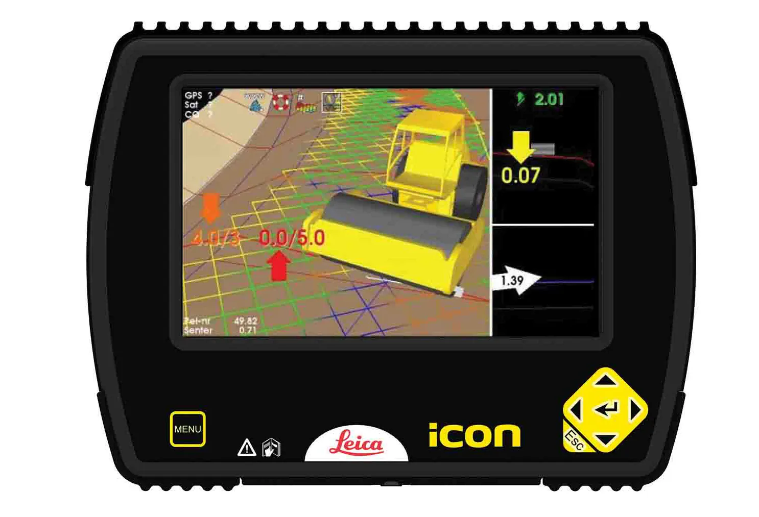
    Leica Geosystems is now offering a sophisticated machine control tool for use with compaction equipment. The firm’s advanced iCON roller package is said to offer contractors an effective solution that can deliver constant and effective compaction on any site. The new iCON roller has on-screen visualisation to show the user where completed passes have occurred and where more are needed for consistent results. Colour coding helps avoid costly reworking as pass count progress is constantly tracked. The unit