Accurate data capture with Hexagon

Hexagon is introducing the Leica BLK ARC and the Leica BLK2FLY tools, which offer speed, portability and mobility for autonomous mobile reality capture.
January 2, 2022 Read time: 2 mins
Accurate site evaluation is feasible with Hexagon’s latest technology

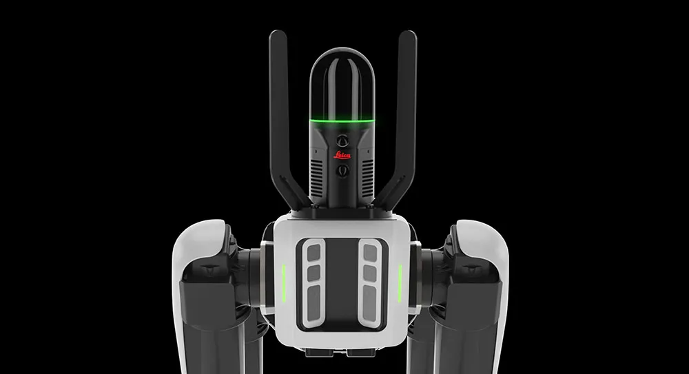
The Leica BLK ARC is a laser scanning sensor designed to improve autonomous navigation of robots and other carrier platforms. Combining speed, accuracy, and versatility with robotics, the BLK ARC offers an autonomous solution that can capture accurate 3D point clouds and panoramic images of changing environments with minimal user intervention.

The Leica BLK2FLY is a fully integrated, autonomous flying laser scanning sensor. Users can use a tablet to scan structures and environments accurately from the air.

The BLK ARC and BLK2FLY tools connect directly to Hexagon’s cloud-based visualisation platform, HxDR, where data uploaded from the field, AI-enabled cloud processing and storage of the captured data allows the delivery of smart digital reality to users.  The BLK ARC can be fitted to the Spot unit from Boston Dynamics Spot but can be integrated with other autonomous robotic carriers. The BLK ARC delivers fully autonomous mobile laser scanning specifically designed for robots. The BLK ARC improves Spot's navigation while capturing 3D data.

The BLK2FLY offers advanced autonomous obstacle avoidance. The system combines LiDAR, radar, cameras, and GNSS for optimal and safe flight paths. Users can combine data from the BLK2FLY with interior scans of buildings and structures captured with the Leica BLK2GO, Hexagon’s handheld 3D scanner. The resulting colourised 3D point clouds are instrumental to building information modelling (BIM) processes, including documenting site conditions.

For more information on companies in this article

Related Content

  • Machine control technology evolving fast
    February 8, 2012
    The machine control market is evolving fast and is increasingly becoming part of a much wider construction site management concept, Mike Woof reports. Machine control technology has come a long way in the past 20 years and the development of 2D and 3D systems has been rapid in the construction sector.
  • Construction software boosts operating efficiency
    March 5, 2012
    Intelligent data handling and management technologies are helping boost operating efficiency - Mike Woof reports The construction software sector and GIS market are seeing a rapid development of new products and technologies that will help boost efficiency, with factors such as data management and platform integration being key focus areas.
  • Leica Geosystems develops machine control
    November 29, 2012
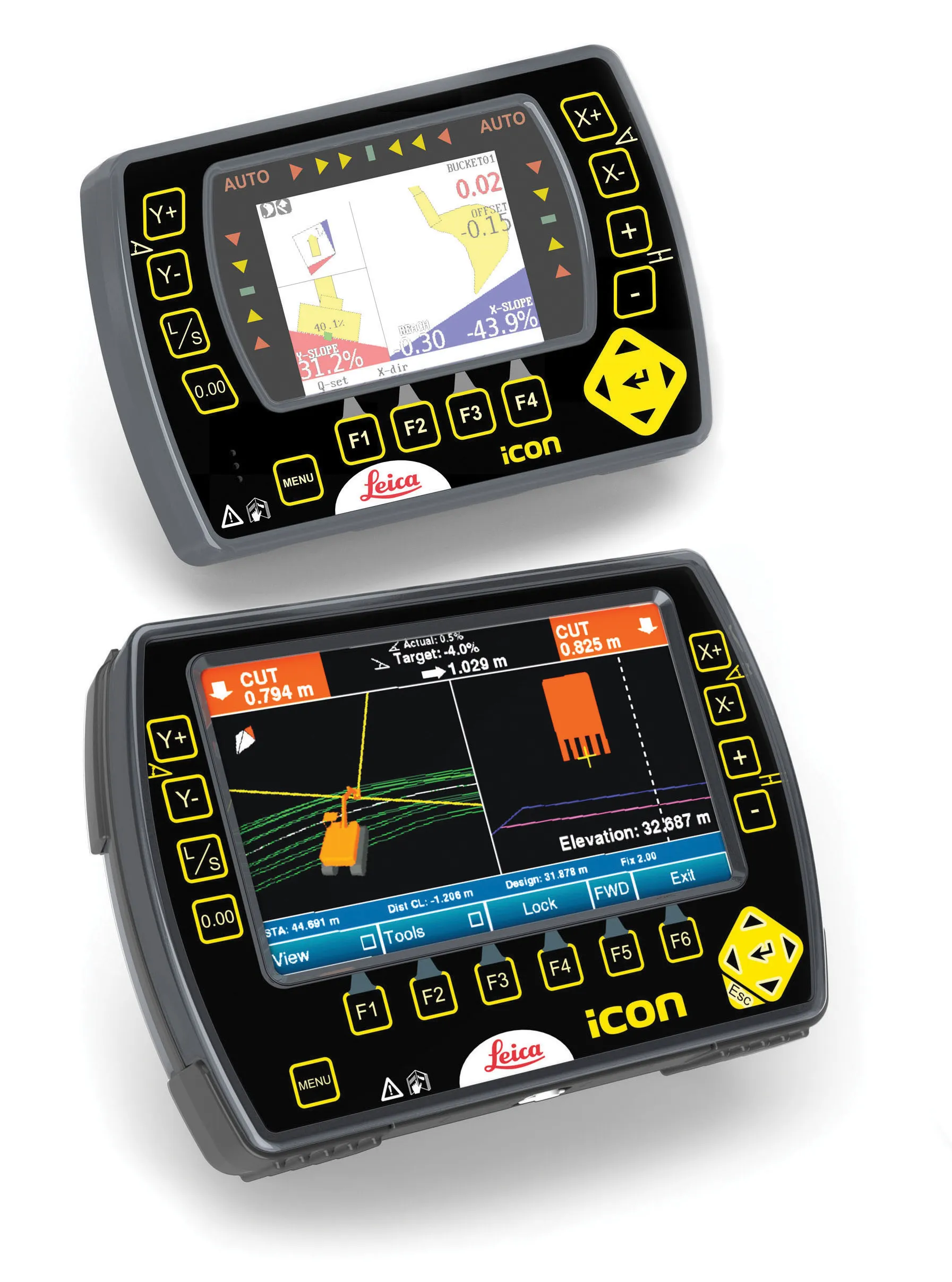
    An array of sophisticated machine control and surveying tools are coming to market from Leica Geosystems. One of the key developments is an addition to its iCON range in the form of its iCONtrol package. The firm says that this offers contractors a portfolio of powerful machine control solutions that can communicate with iCONstruct sensors on site and the iCON office software. This customisable and versatile solution suits use in grading and excavating segment and can be used as a control system for constru
  • Bentley is building its software solutions portfolio
    May 14, 2015
    Bentley Systems continues to develop its portfolio of software solutions - Mike Woof writes One of the leaders in the field of construction software, Bentley Systems is developing its array of solutions for industry users. The company is growing both by acquisition and organically, using its financial strength to buy up smaller niche firms as well as developing the capabilities of its in-house software further. The company has recently made three key acquisitions, for EADOC, Acute3D and C3global. The