US road asset map

Blyncsy sets out US road asset map.
By MJ Woof November 7, 2024 Read time: 1 min
The new mapping tool from Blyncsy allows open access views of asset data for the entire US


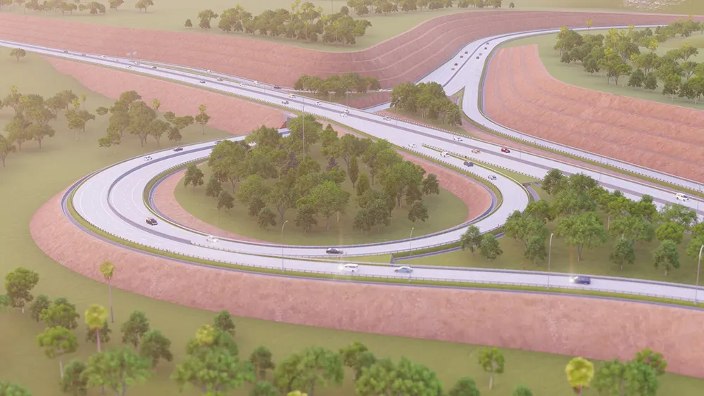
Blyncsy, part of Bentley Systems, has published a public map of the interstate highways in the United States. This shows key roadway assets and can be used to support roadway safety and maintenance works. This data is available to all state US Department of Transportation (DOT) agencies. Using the information means that states to better address road safety, maintenance, and repair operations more efficiently and cost-effectively.

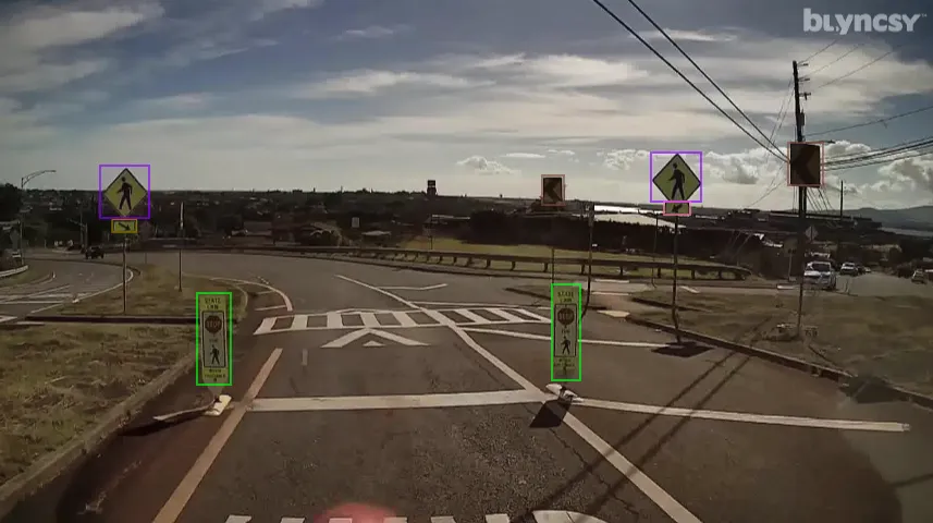
The new Blyncsy interstate highway map uses crowdsourced dash camera imagery from over 1 million vehicles. Coupled with Blyncsy’s powerful AI image analysis toolset, the system is able to detect over 40 different road conditions and asset inventory issues in near-real time. Typical issues include potential roadway safety hazards from damaged guardrail, missing signage, and lack of proper road striping. The system can highlight roadway vulnerabilities to crashes, natural disasters, and work zone areas. 

Blyncsy’s AI-powered crowdsourced data is delivered through an open API, providing state DOTs a solution that is infinitely scalable and cost-efficient when compared to manual data collection technologies like LiDAR, or traditional road inspection, which require maintenance crews in the field to collate data.


 

For more information on companies in this article

Related Content

  • Workszone design and planning software
    March 6, 2012
    Managing utility works effectively is important, given that digging up roads and then patching them can dramatically cut the life of a road surface. New software tools make this process easier to manage effectively and Bentley Systems is extending its Expert Designer V8i package to include water, gas, and communications infrastructure, in addition to electric utilities. This allows utility firms and engineering contractors using Expert Designer V8i to boost the efficiency of utility network design projects.
  • Bentley’s point cloud innovation for information modelling in road design
    August 22, 2013
    Latest software packages from Bentley Systems will help optimise project design and construction efficiency – Mike Woof reports Software systems have come a long way in helping optimise construction projects from design through construction to delivery. And the latest software from Bentley Systems offers additional capabilities for road design applications. Bentley Systems is offering the V8i (SELECTseries 3) versions of its InRoads, GEOPAK, and MXROAD products. All of the products now share the
  • Decarbonising transport with digital twins
    August 13, 2024
    A research programme will focus on decarbonising transport with digital twins.
  • New Bocimi Toll Road Aims to Reduce Travel Time and Boost Indonesia’s Economy
    April 20, 2023
    The Bogor-Ciawi-Sukabumi (Bocimi) toll road is a series of national strategic projects to help reduce traffic congestion along the existing factory-lined roadway, as well as enhance regional connectivity and tourism in West Java. Spanning 54 kilometers, the new highway corridor is expected to shorten travel time between the Bogor and Sukabumi provinces from two hours to 30 minutes and boost economic conditions in the surrounding Sukabumi area. Construction is divided into four phases, the first of which measures 15.35 kilometers and is already complete. PT Waskita Karya (Waskita) is the main contractor for the IDR 2.1 trillion second section, spanning 11.9 kilometers between Cigombong and Cibadak, and set for completion in 2023 after being delayed due to the pandemic.