Blyncsy, part of Bentley Systems, has published a public map of the interstate highways in the United States. This shows key roadway assets and can be used to support roadway safety and maintenance works. This data is available to all state US Department of Transportation (DOT) agencies. Using the information means that states to better address road safety, maintenance, and repair operations more efficiently and cost-effectively.
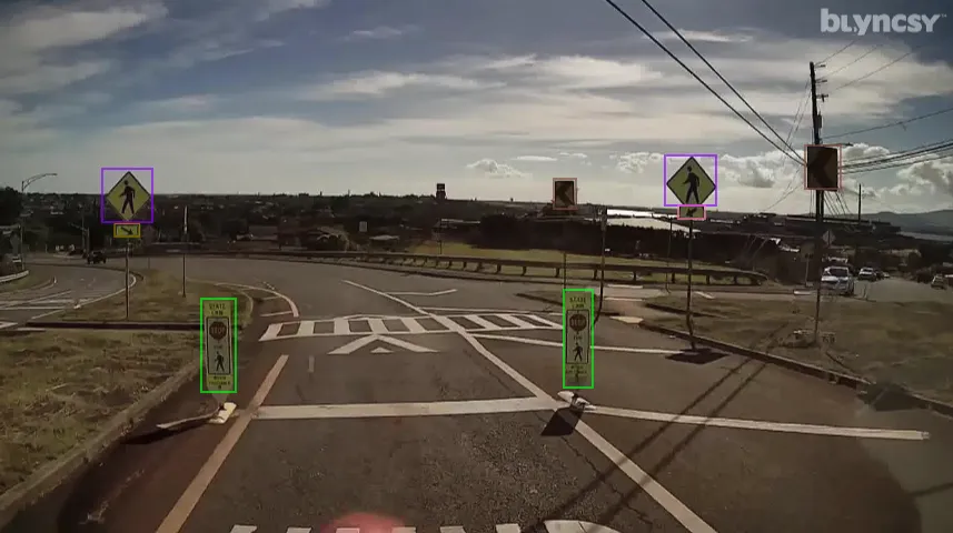
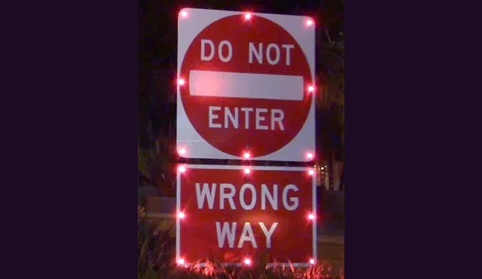
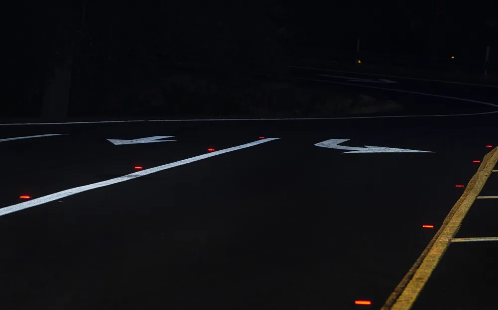
The new Blyncsy interstate highway map uses crowdsourced dash camera imagery from over 1 million vehicles. Coupled with Blyncsy’s powerful AI image analysis toolset, the system is able to detect over 40 different road conditions and asset inventory issues in near-real time. Typical issues include potential roadway safety hazards from damaged guardrail, missing signage, and lack of proper road striping. The system can highlight roadway vulnerabilities to crashes, natural disasters, and work zone areas.
Blyncsy’s AI-powered crowdsourced data is delivered through an open API, providing state DOTs a solution that is infinitely scalable and cost-efficient when compared to manual data collection technologies like LiDAR, or traditional road inspection, which require maintenance crews in the field to collate data.


