Trimble is offering more sophisticated GNSS receivers

Trimble says that it is increasing the capabilities of its integrated GNSS survey receiver range. This line-up includes the Trimble R4, Trimble R6, Trimble R8 GNSS systems and is rounded out by the latest Trimble R10 GNSS System. The new improvements being added include increased satellite tracking and Real Time Kinematic (RTK) performance. These modernise the integrated receiver portfolio to add functionality, flexibility and capability as well as providing more options for surveyors.
January 6, 2017 Read time: 2 mins
2122 Trimble says that it is increasing the capabilities of its integrated GNSS survey receiver range. This line-up includes the Trimble R4, Trimble R6, Trimble R8 GNSS systems and is rounded out by the latest Trimble R10 GNSS System. The new improvements being added include increased satellite tracking and Real Time Kinematic (RTK) performance. These modernise the integrated receiver portfolio to add functionality, flexibility and capability as well as providing more options for surveyors.

The Trimble R8 includes integrated Trimble Maxwell 6 ASICs offering 440 channels. Powered by Trimble 360 technology, the Trimble R8 is said to offer consistent and reliable tracking of signals for all existing GNSS constellations and augmentation systems, including GPS, GLONASS, Galileo, BeiDou and QZSS. Using the Trimble R8, surveyors can connect to the controller, receive RTK network corrections and access the Internet via comprehensive communication options. The Trimble R6 GNSS features Trimble R-Track satellite tracking technology, a Trimble Maxwell 6 ASIC with 220 channels and support for all GPS and QZSS signals with GNSS upgrade options, the Trimble R6 provides surveyors with a completely scalable and flexible solution. The Trimble R6 supports GPS L1, L2, L2C, and L5 signals and QZSS as standard and offers upgrade options to support GLONASS, Galileo and BeiDou signals. The Trimble R6 delivers the accuracy and reliability required for precision surveying with superior tracking and RTK performance. The Trimble R4 GNSS is designed for use with the new Trimble Slate Controller and Trimble Access field software. This sSystem provides a dedicated and reliable GNSS solution that is effective for both real time and post-processed GNSS surveys. The Trimble R4 now supports GPS L1, L2, and L2C and QZSS signals as standard and also offers GLONASS, Galileo and BeiDou support upgrade options. The system includes Trimble R-Track technology and a Trimble Maxwell 6 ASIC with 220 channels. Trimble R10 GNSS system is said to be the premier solution of the integrated survey receiver portfolio. Designed to increase  productivity, the Trimble R10 provides powerful functionality, including Trimble 360 receiver technology, precise position capture with Trimble SurePoint technology, the cutting-edge Trimble HD-GNSS processing engine and Trimble xFill bridging technology to fill in for RTK corrections in the event of temporary radio or Internet connection outages.

Stand: A3.327/426

%$Linker: 2 Asset <?xml version="1.0" encoding="utf-16"?><dictionary /> 2 55403 0 oLinkExternal www.Trimble.com www.Trimble.com false /EasySiteWeb/GatewayLink.aspx?alId=55403 false false%>

%$Linker: 2 Internal <?xml version="1.0" encoding="utf-16"?><dictionary /> 2 11560 0 oLinkInternal <span class="oLinkInternal"><span class="oLinkInternal">View more videos</span></span> Video false /event-news/bauma-2013/video/ true false%>

For more information on companies in this article

Related Content

  • Hexagon adds software firm to portfolio
    January 6, 2017
    Hexagon continues to develop its software portfolio with the acquisition of Listech, which will compliment its array of construction solutions and particularly those of its Leica Geosystems subsidiary. Listech offers software solutions that aid with data processing and help streamline workflows in land management, construction and engineering projects.
  • Hexagon adds software firm to portfolio
    January 30, 2013
    Hexagon continues to develop its software portfolio with the acquisition of Listech, which will compliment its array of construction solutions and particularly those of its Leica Geosystems subsidiary. Listech offers software solutions that aid with data processing and help streamline workflows in land management, construction and engineering projects.
  • Leica Geosystems launches iCON for wheeled loaders
    January 6, 2017
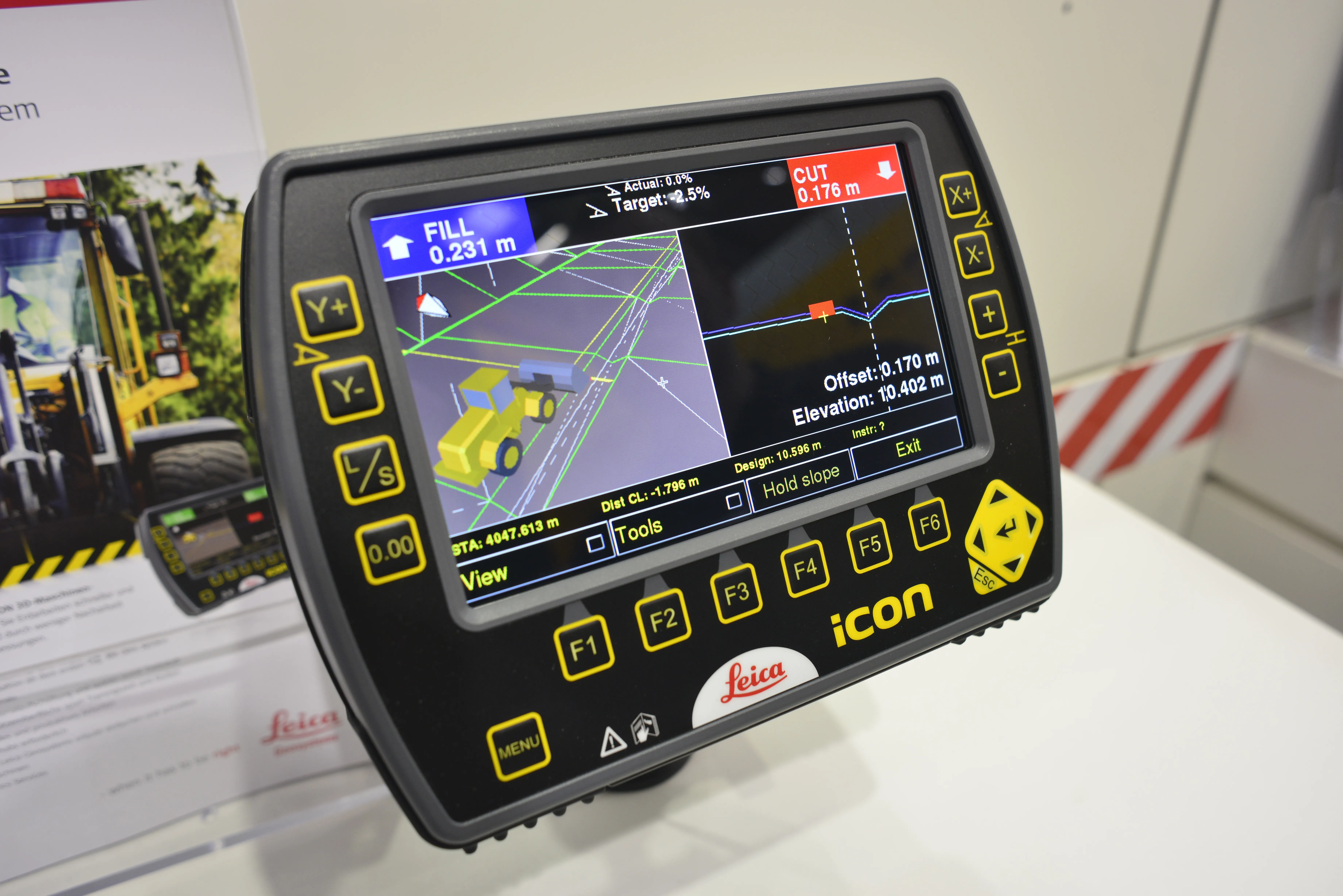
    Leica Geosystems has unveiled its new powerful Leica iCON 3D machine control system for wheeled loaders. The Swiss firm says the system allows users to complete their earthworks jobs faster and correctly the first time. It is also said to precisely control material cut and fill, saving a lot of time and money by reducing rework and over-excavation, while also making grading operations with wheeled loaders more efficient. Grade checking, says Leica, can be eliminated, further enhancing productivity, efficien
  • Leica Geosystems launches iCON for wheeled loaders
    April 19, 2013
    Leica Geosystems has unveiled its new powerful Leica iCON 3D machine control system for wheeled loaders. The Swiss firm says the system allows users to complete their earthworks jobs faster and correctly the first time. It is also said to precisely control material cut and fill, saving a lot of time and money by reducing rework and over-excavation, while also making grading operations with wheeled loaders more efficient. Grade checking, says Leica, can be eliminated, further enhancing productivity, efficien