Trimble is offering more sophisticated GNSS receivers

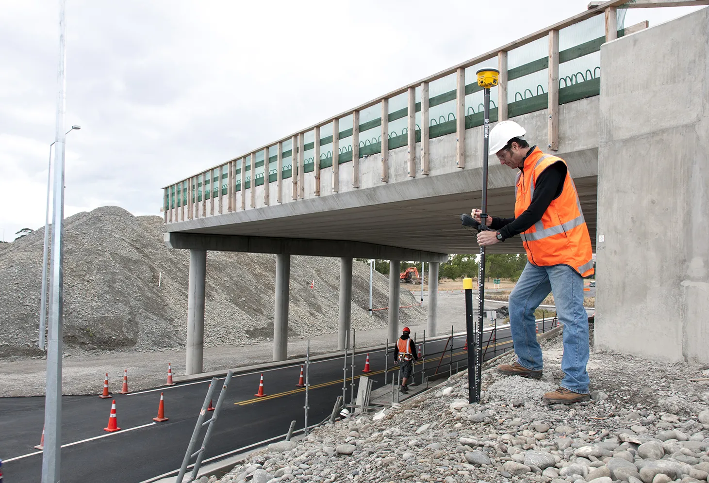
Trimble says that it is increasing the capabilities of its integrated GNSS survey receiver range. This line-up includes the Trimble R4, Trimble R6, Trimble R8 GNSS systems and is rounded out by the latest Trimble R10 GNSS System. The new improvements being added include increased satellite tracking and Real Time Kinematic (RTK) performance. These modernise the integrated receiver portfolio to add functionality, flexibility and capability as well as providing more options for surveyors.
January 6, 2017 Read time: 2 mins
2122 Trimble says that it is increasing the capabilities of its integrated GNSS survey receiver range. This line-up includes the Trimble R4, Trimble R6, Trimble R8 GNSS systems and is rounded out by the latest Trimble R10 GNSS System. The new improvements being added include increased satellite tracking and Real Time Kinematic (RTK) performance. These modernise the integrated receiver portfolio to add functionality, flexibility and capability as well as providing more options for surveyors.

The Trimble R8 includes integrated Trimble Maxwell 6 ASICs offering 440 channels. Powered by Trimble 360 technology, the Trimble R8 is said to offer consistent and reliable tracking of signals for all existing GNSS constellations and augmentation systems, including GPS, GLONASS, Galileo, BeiDou and QZSS. Using the Trimble R8, surveyors can connect to the controller, receive RTK network corrections and access the Internet via comprehensive communication options. The Trimble R6 GNSS features Trimble R-Track satellite tracking technology, a Trimble Maxwell 6 ASIC with 220 channels and support for all GPS and QZSS signals with GNSS upgrade options, the Trimble R6 provides surveyors with a completely scalable and flexible solution. The Trimble R6 supports GPS L1, L2, L2C, and L5 signals and QZSS as standard and offers upgrade options to support GLONASS, Galileo and BeiDou signals. The Trimble R6 delivers the accuracy and reliability required for precision surveying with superior tracking and RTK performance. The Trimble R4 GNSS is designed for use with the new Trimble Slate Controller and Trimble Access field software. This sSystem provides a dedicated and reliable GNSS solution that is effective for both real time and post-processed GNSS surveys. The Trimble R4 now supports GPS L1, L2, and L2C and QZSS signals as standard and also offers GLONASS, Galileo and BeiDou support upgrade options. The system includes Trimble R-Track technology and a Trimble Maxwell 6 ASIC with 220 channels. Trimble R10 GNSS system is said to be the premier solution of the integrated survey receiver portfolio. Designed to increase  productivity, the Trimble R10 provides powerful functionality, including Trimble 360 receiver technology, precise position capture with Trimble SurePoint technology, the cutting-edge Trimble HD-GNSS processing engine and Trimble xFill bridging technology to fill in for RTK corrections in the event of temporary radio or Internet connection outages.

Stand: A3.327/426

%$Linker: 2 Asset <?xml version="1.0" encoding="utf-16"?><dictionary /> 2 55403 0 oLinkExternal www.Trimble.com www.Trimble.com false /EasySiteWeb/GatewayLink.aspx?alId=55403 false false%>

%$Linker: 2 Internal <?xml version="1.0" encoding="utf-16"?><dictionary /> 2 11560 0 oLinkInternal <span class="oLinkInternal"><span class="oLinkInternal">View more videos</span></span> Video false /event-news/bauma-2013/video/ true false%>

For more information on companies in this article

Related Content

  • Trimble’s new generation collision avoidance system lifts crane sector with Manitowoc Falcon
    March 3, 2014
    Trimble has put its new generation crane collision-avoidance system on show at Conexpo 2014, developed in conjunction with Manitowoc Cranes. The Manitowoc Falcon system combines precision GNSS with collision-avoidance technology to provide real time, centimetre-accurate positioning for multiple cranes working on a construction site. The solution, which can be seen on Stand N11766 at Conexpo 2014, has been designed to enhance crane operator awareness and improve safety and productivity in the construction
  • Topcon launches new subscription based web services
    August 17, 2012
    Topcon has restructured its GNSS network business and global GNSS services, offering new and informative web resources for users. TopNET is said to offer subscription based, real-time GNSS network RTK and DGNSS subscriptions, with high quality GPS and GLONASS correction data, as well as all future GNSS signals, for many different applications; including surveying, construction, GIS mapping, machine control, and precision agriculture.
  • Guntert & Zimmerman is offering sophisticated stringless paving controls
    January 6, 2017
    The NoLine system now offered by Guntert & Zimmerman for its concrete slipform pavers offers the capability to do away with stringlines for controlling paving oeprations. This kit is offered as an option on all G&Z pavers and support equipment and comprises a software upgrade and a hardware kit. The NoLine software upgrade integrates the stringless technology directly into the paver’s CANBus network. Meanwhile the NoLine hardware kit provides telescopic masts for the total station prisms for use on the pave
  • Trimble’s new solutions boost road building
    January 6, 2017
    Trimble is now offering a sophisticated package of solutions comprising hardware, software and mobility technologies. This streamlines communication and collaboration throughout the construction lifecycle, from planning, design and site preparation through to the finished project. Connecting sites delivers value across the entire project lifecycle, as real-time data gives contractors and stakeholders better information about material, people and asset utilisation for improved productivity.