Trimble is offering more sophisticated GNSS receivers

Trimble says that it is increasing the capabilities of its integrated GNSS survey receiver range. This line-up includes the Trimble R4, Trimble R6, Trimble R8 GNSS systems and is rounded out by the latest Trimble R10 GNSS System. The new improvements being added include increased satellite tracking and Real Time Kinematic (RTK) performance. These modernise the integrated receiver portfolio to add functionality, flexibility and capability as well as providing more options for surveyors.
January 6, 2017 Read time: 2 mins
2122 Trimble says that it is increasing the capabilities of its integrated GNSS survey receiver range. This line-up includes the Trimble R4, Trimble R6, Trimble R8 GNSS systems and is rounded out by the latest Trimble R10 GNSS System. The new improvements being added include increased satellite tracking and Real Time Kinematic (RTK) performance. These modernise the integrated receiver portfolio to add functionality, flexibility and capability as well as providing more options for surveyors.

The Trimble R8 includes integrated Trimble Maxwell 6 ASICs offering 440 channels. Powered by Trimble 360 technology, the Trimble R8 is said to offer consistent and reliable tracking of signals for all existing GNSS constellations and augmentation systems, including GPS, GLONASS, Galileo, BeiDou and QZSS. Using the Trimble R8, surveyors can connect to the controller, receive RTK network corrections and access the Internet via comprehensive communication options. The Trimble R6 GNSS features Trimble R-Track satellite tracking technology, a Trimble Maxwell 6 ASIC with 220 channels and support for all GPS and QZSS signals with GNSS upgrade options, the Trimble R6 provides surveyors with a completely scalable and flexible solution. The Trimble R6 supports GPS L1, L2, L2C, and L5 signals and QZSS as standard and offers upgrade options to support GLONASS, Galileo and BeiDou signals. The Trimble R6 delivers the accuracy and reliability required for precision surveying with superior tracking and RTK performance. The Trimble R4 GNSS is designed for use with the new Trimble Slate Controller and Trimble Access field software. This sSystem provides a dedicated and reliable GNSS solution that is effective for both real time and post-processed GNSS surveys. The Trimble R4 now supports GPS L1, L2, and L2C and QZSS signals as standard and also offers GLONASS, Galileo and BeiDou support upgrade options. The system includes Trimble R-Track technology and a Trimble Maxwell 6 ASIC with 220 channels. Trimble R10 GNSS system is said to be the premier solution of the integrated survey receiver portfolio. Designed to increase  productivity, the Trimble R10 provides powerful functionality, including Trimble 360 receiver technology, precise position capture with Trimble SurePoint technology, the cutting-edge Trimble HD-GNSS processing engine and Trimble xFill bridging technology to fill in for RTK corrections in the event of temporary radio or Internet connection outages.

Stand: A3.327/426

%$Linker: 2 Asset <?xml version="1.0" encoding="utf-16"?><dictionary /> 2 55403 0 oLinkExternal www.Trimble.com www.Trimble.com false /EasySiteWeb/GatewayLink.aspx?alId=55403 false false%>

%$Linker: 2 Internal <?xml version="1.0" encoding="utf-16"?><dictionary /> 2 11560 0 oLinkInternal <span class="oLinkInternal"><span class="oLinkInternal">View more videos</span></span> Video false /event-news/bauma-2013/video/ true false%>

For more information on companies in this article

Related Content

  • Enerpac launches new Evo synchronous lifting system
    February 15, 2013
    Enerpac is using Bauma to show off its new generation of multi-functional synchronous lifting systems, called the Evo System. The specialised hydraulic engineering and lifting technology manufacturer is using digitally controlled hydraulics on the Evo units and one standard PLC-controlled hydraulic power unit can be used for nine hydraulic movement functions. The integrated touch screen offers a user friendly interface with logical visual system management and navigation says Enerpac. The hydraulic movement
  • Topcon unveils X-63i indicate systems for excavators
    January 6, 2017
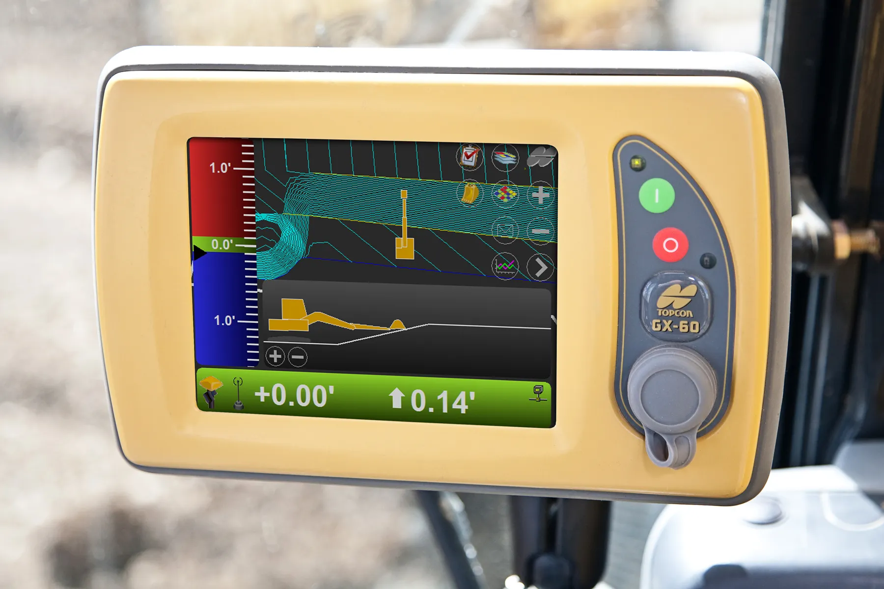
    Topcon’s new X-63i 3D indicate system for excavators is the latest addition to its machine control portfolio. “The new system combines Topcon’s advanced GNSS global positioning technology and machine sensors with the heavy-duty GX-60 touchscreen colour display to provide an easy-to-use system for increased excavation efficiency,” said Kris Maas, Topcon’s machine control product marketing manager.
  • Topcon unveils X-63i indicate systems for excavators
    February 25, 2014
    Topcon’s new X-63i 3D indicate system for excavators is the latest addition to its machine control portfolio. “The new system combines Topcon’s advanced GNSS global positioning technology and machine sensors with the heavy-duty GX-60 touchscreen colour display to provide an easy-to-use system for increased excavation efficiency,” said Kris Maas, Topcon’s machine control product marketing manager.
  • INTERMAT launch for Topcon road profiler
    January 6, 2017
    RTP-300 is Topcon’s new high-speed road surface profiling machine that can collect surface data at speeds up to 65 mph (105 km/h) and creates an exact model of the existing surface.